Updated Time: 2025/5/6
Where City Lights Meet Flight: A Scenic Taipei Hike with a Skyward Surprise.
Overview
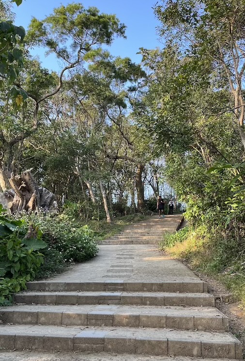
Located in the bustling Shilin District (士林區) of Taipei City, Jiantan Mountain (劍潭山, also written as Jiantanshan) is one of the “hidden green treasures” of the capital. It’s renowned for its accessible location, gentle slopes, and spectacular panoramic city views – plus a rare plane-watching lookout where you can see aircraft take off and land at Songshan Airport. Perfect for time-constrained travelers, families with young children, and beginner hikers seeking a scenic escape without venturing far from urban amenities.
Why you’ll love it:
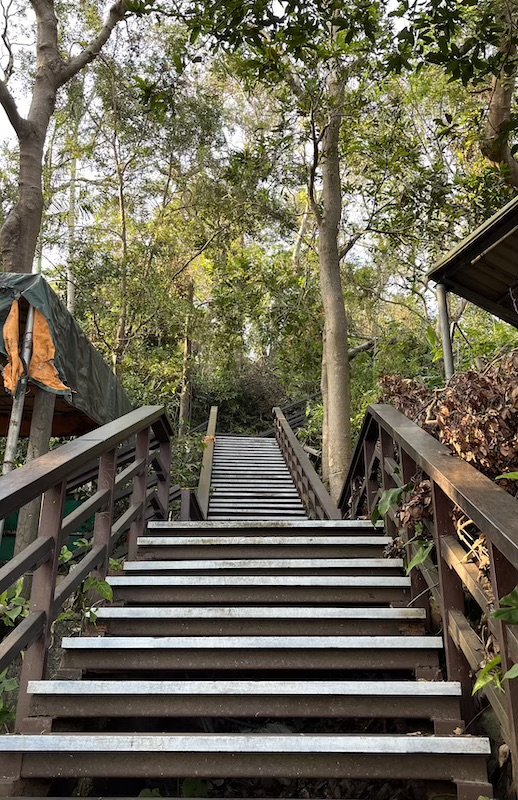
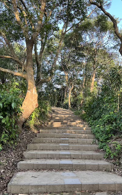
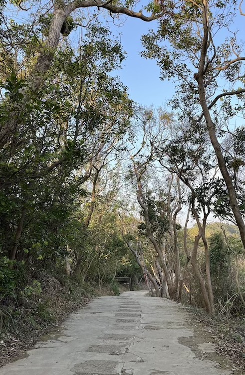
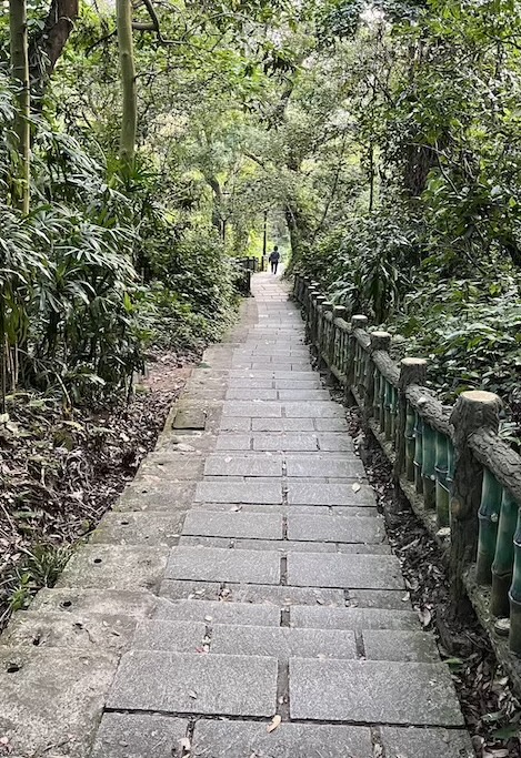
- Easy Urban Exploration – Experience nature without leaving the city, with well-maintained paths and clear signage throughout the trail.
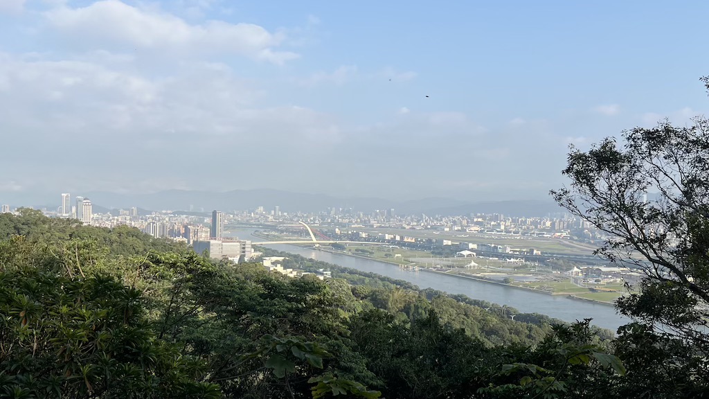
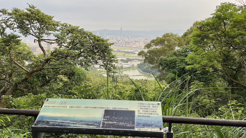
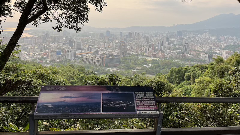
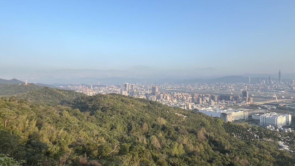
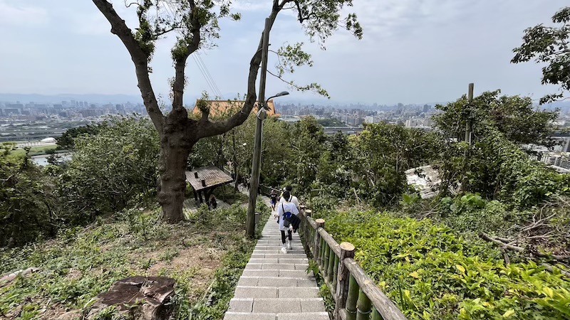
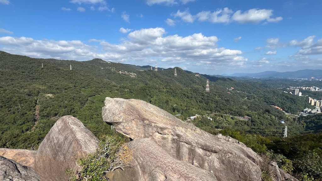
- Spectacular City Vistas – Enjoy breathtaking panoramic views of the Greater Taipei Basin, from Taipei 101 to Yangmingshan.
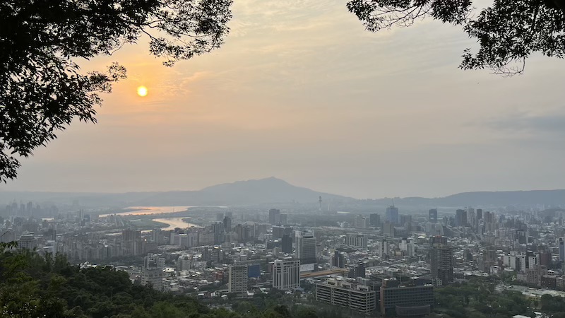
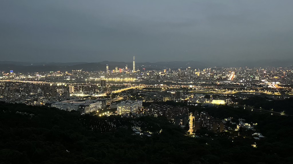
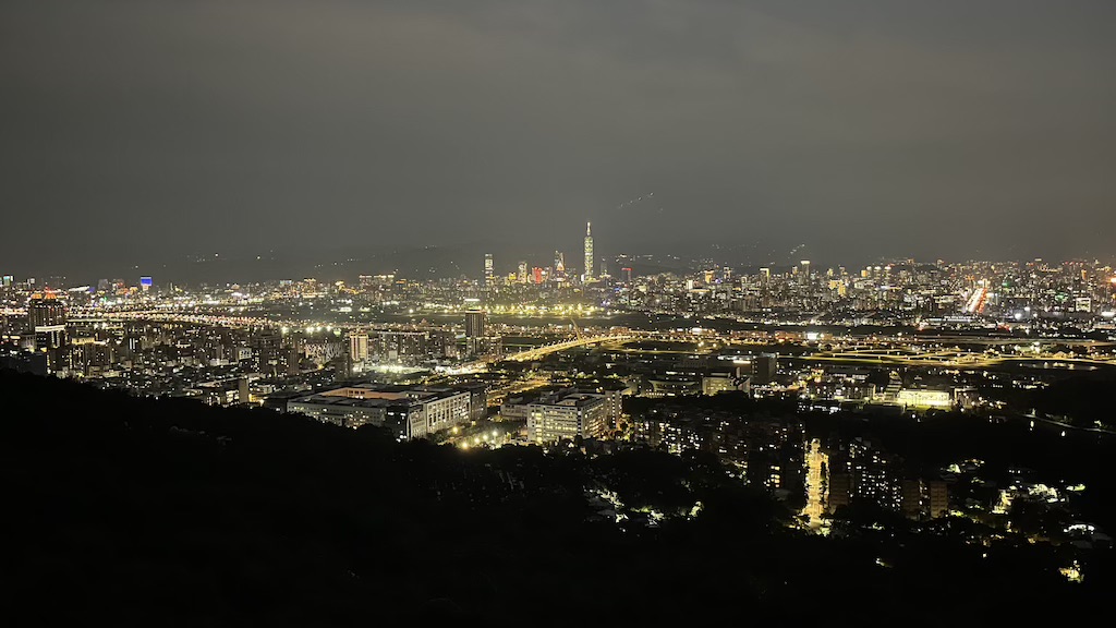
- Sunset to Starlight Magic – Arrive before dusk to catch golden-hour glow and watch the city lights slowly come alive — romantic, peaceful, and unforgettable.
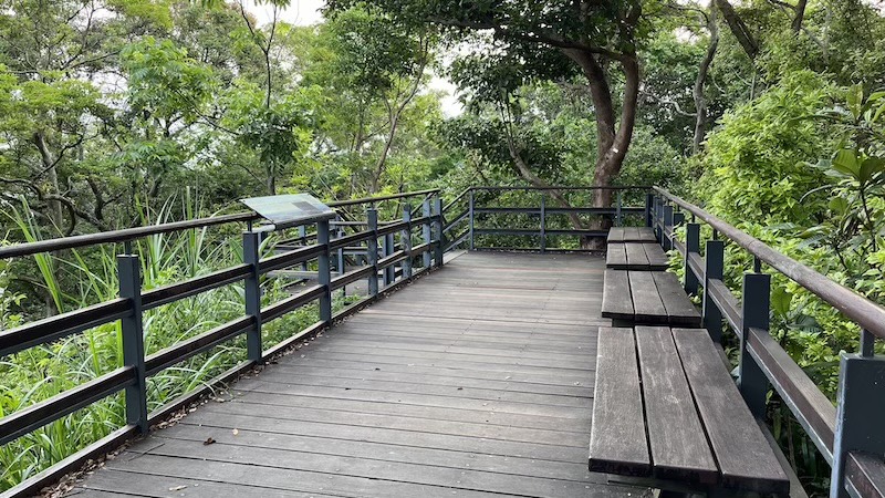
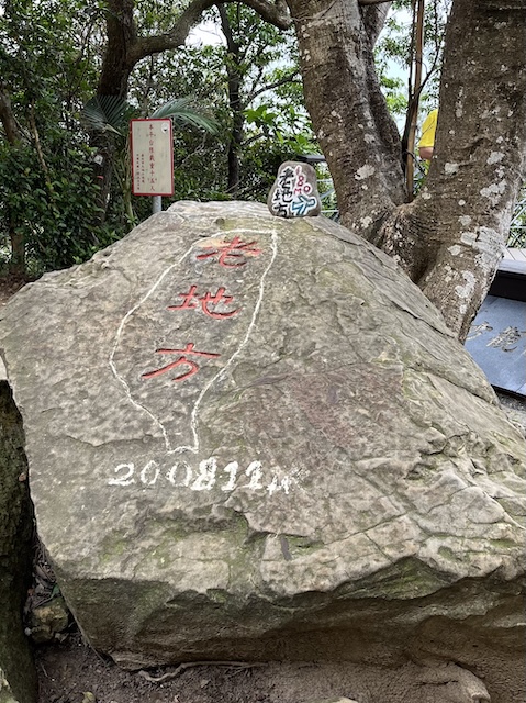
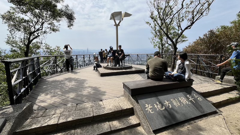
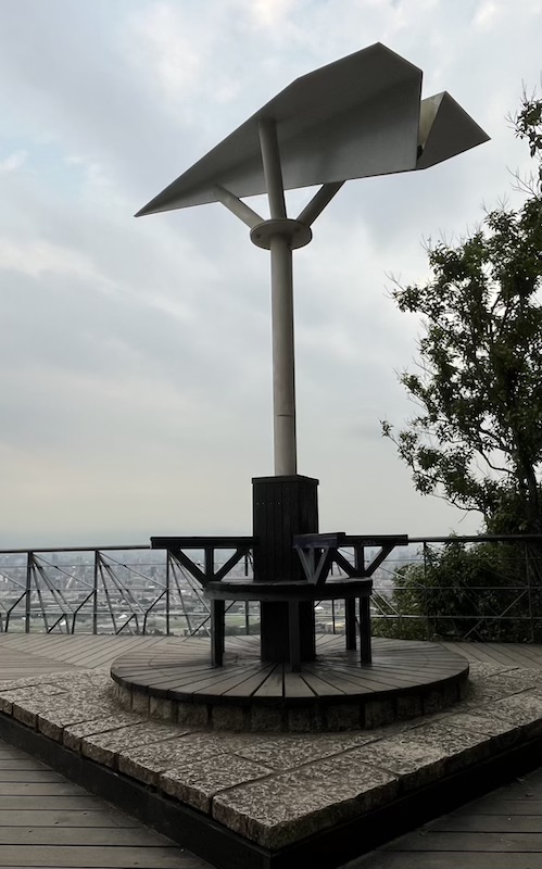
- Airplane Observation Platform – The Laodifang Lookout (老地方觀機平台) offers front-row views of aircraft taking off and landing with Taipei’s dramatic skyline as your backdrop.
- Suitable for All Ages and Group Types – Whether you’re solo, on a date, with family, or bringing the kids and grandparents, this gentle trail is welcoming to everyone.
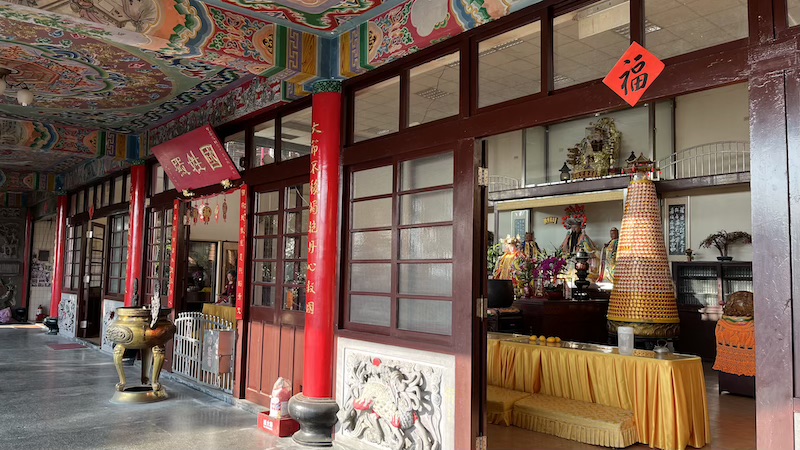
Jiantan Mountain has several trailheads. This guide focuses on the popular circular route starting from Fuzheng Temple (福正宮) near Section 4 of Zhongshan North Road (中山北路四段). This trail is well-marked, shaded in many sections and easily accessible by public transportation, making it ideal for a half-day hike, a sunset photography session, or a nighttime date to enjoy Taipei’s unique blend of city lights and natural beauty.
*Note 1: “Shan” (山) means “mountain” in Chinese. You may see this peak referred to as either Jiantan Mountain or Jiantanshan on maps and trail signs
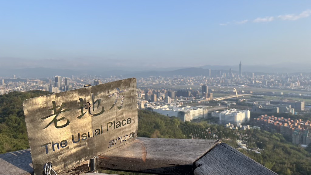
*Note 2: “Laodifang (老地方)” means “old place” in Chinese.You may also see it translated as Usual Place on the trail signs and maps.
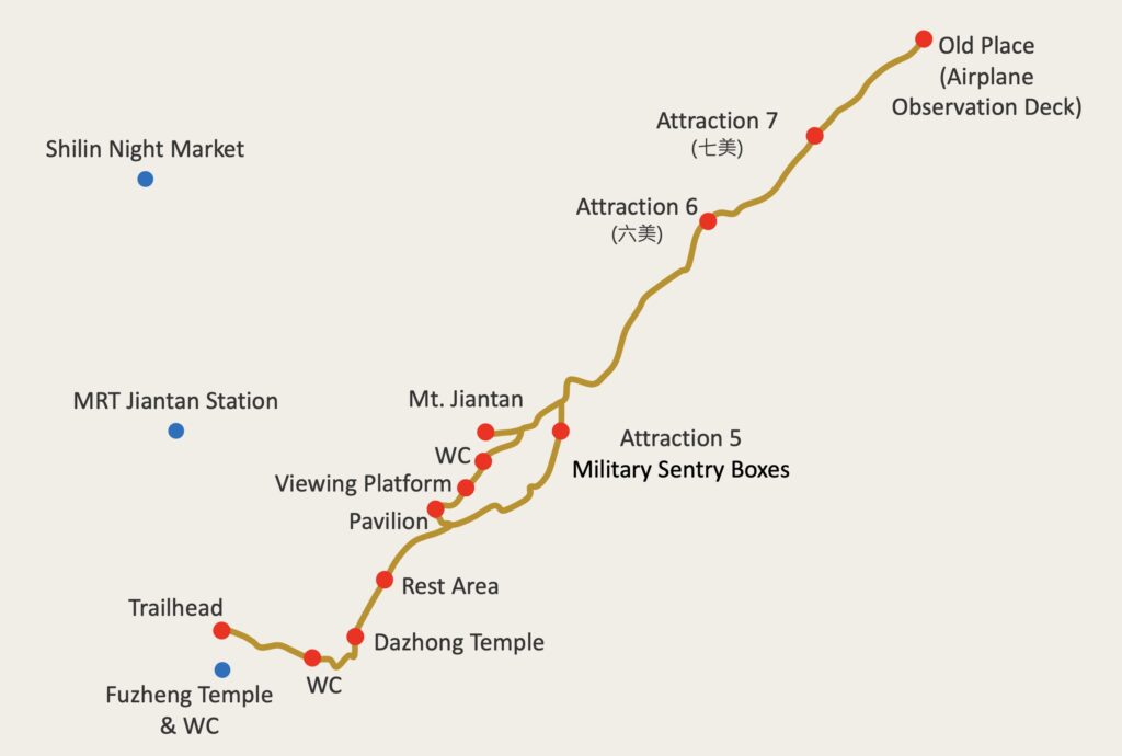
Trail Highlights
What to See on Jiantan Mountain Trail?
- Dazhong Temple (大忠宮) – 150m
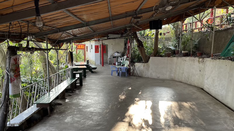
- A peaceful temple partway up the trail with a water station, shade, and seating – great for a short rest before continuing your hike.
- Water fountains available here.
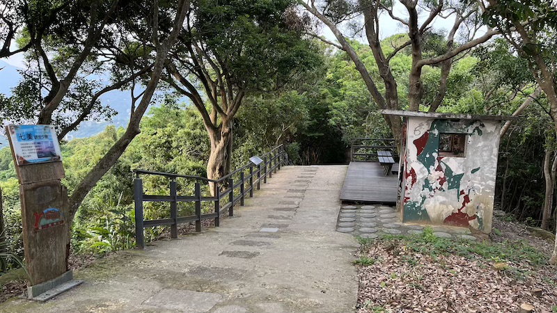
- Attraction 7 (七美) – 180m
- An observation deck offering broad views across Shilin District.
- Perfect spot for watching the sunset behind Guanyin Mountain.
- Laodifang Lookout (老地方觀機平台) – 175m
- A must-see highlight of this trail: A viewing platform overlooks Taipei Songshan Airport, offering close-up views of planes taking off and landing.
- Best visited during sunset and nighttime when city lights create a magical backdrop.
Getting There
Trailhead Location
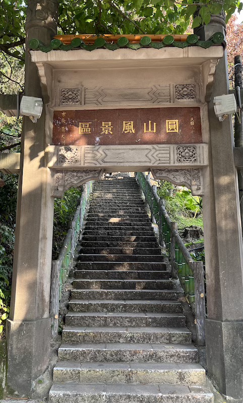
- No. 67, Section 4, Zhongshan North Road, beside Fuzheng Temple (福正宮) (Google Maps)
By Public Transport
- MRT: Take the Tamsui-Xinyi Line to Jiantan Station (Exit 2) and walk 10 minutes to the trailhead.
- Bus: Routes 109, 203, 218, 260, 267, 277, 279, 280, 308, 310, 556, 606, 612, 646, 685, 902, 1717, Zhongshan Metro Bus (中山幹線), or Dunhua Metro Bus (敦化幹線) stoo at Jiantan station. The trailhead is just near the bus stop.
By Car/Scooter
- Navigation: No. 67, Section 4, Zhongshan North Road or Fuzheng Temple (福正宮) (Google Maps)
- Parking: Paid parking lots and roadside spots are available nearby.
Hiking Information
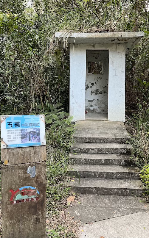
- Route: Zhongshan North Road Trailhead → Dazhong Temple (大忠宮) → Jiantan Mountain (劍潭山) → Attraction 7 (七美) → Laodifang Lookout (老地方觀機平台) → Attraction 5 Military Sentry Boxes (五美崗哨體驗區) → Zhongshan North Road Trailhead
- Distance: Approximately 2.1 km (1.3 miles)
- Permit: No
- Suggested Time: 1.5 ~ 3 hours
- My Time Log:
- 16:08 Zhongshan North Road Trailhead
- 16:18 Dazhong Temple (大忠宮)
- 16:37 Jiantan Mountain (劍潭山)
- 16:53 Attraction 7 (七美)
- 16:57 Laodifang Lookout (老地方觀機平台) (15-minute rest)
- 17:28 Attraction 5 – Military Sentry Boxes (五美崗哨體驗區)
- 17:42 Dazhong Temple (大忠宮)
- 17:48 Zhongshan North Road Trailhead
- Note: As a reference, I completed the Tokyo marathon in 6 hours. Your timing may vary based on fitness level and rest time.
GPX Track Download
- Recorded on: February 28, 2025.
- Download GPX track (waypoints included) from my Google Drive: Jiantan Mountain Trail.
Weather Forecast
Check the weather forecast for Jiantan Mountain on the Central Weather Administration website.
Additional Tips
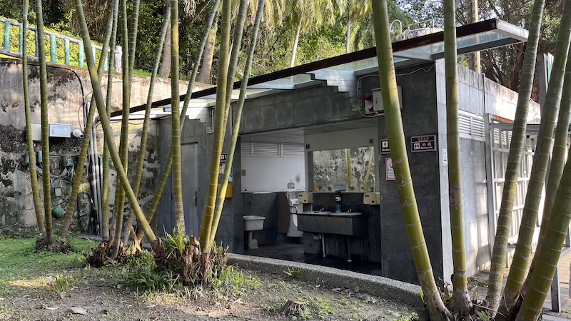
- Restrooms: Available at Fuzheng Temple near the trailhead and along the trail.
- Drinking Water: Available at Dazhong Temple (大忠宮), but bringing sufficient water is recommended.
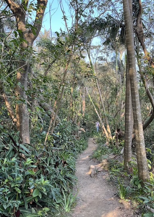
- Mosquito Protection: The trail has some shaded areas where mosquitoes are active; insect repellent is advised.
- Jiantan Mountain (劍潭山): Surrounded by trees and vegetation with limited views. You may skip it if you’re short on time or energy.
- Night View Recommendation:
- Recommended departure before 4:30 PM to reach Laodifang Lookout (老地方觀機平台) before sunset.
- Some sections lack lighting, so bring a flashlight or headlamp if staying for night views
- Photography Tips
- Wide-angle lens: Ideal for city panoramas.
- 70–200mm lens: Perfect for close-ups of aircraft takeoffs and landings.
- Tripod: Essential for night shots or capturing night aircraft trails.
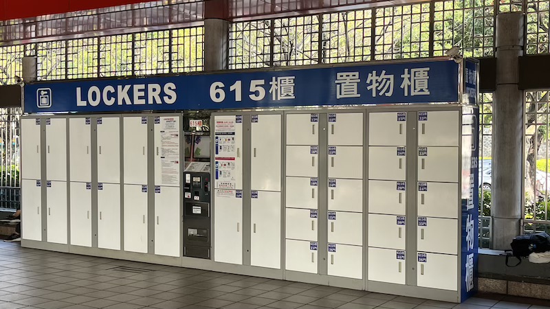
- Luggage Storage: Lockers are available at MRT Jiantan Station if you need to store luggage.
- Large locker: NT$20/hr
- Small locker: NT$10/hr
Nearby Attractions
- Dajia Riverside Park (大佳河濱公園)
- Rent bicycles to enjoy the riverside scenery.
- Transportation: Google Maps.
- Shilin Night Market (士林夜市)
- Perfect for refueling after your hike with salt and pepper chicken, fried chicken cutlets, oyster omelets, pearl milk tea and desserts!
- Consider buying food to-go before your hike and enjoy them at the plane-watching platform!
- Transportation: Google Maps.
In Pictures
