Updated Time: 2025/4/19
Test your limits on Taipei’s most exhilarating ridgeline traverse.
Overview
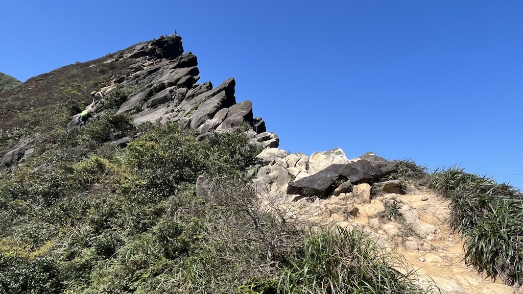
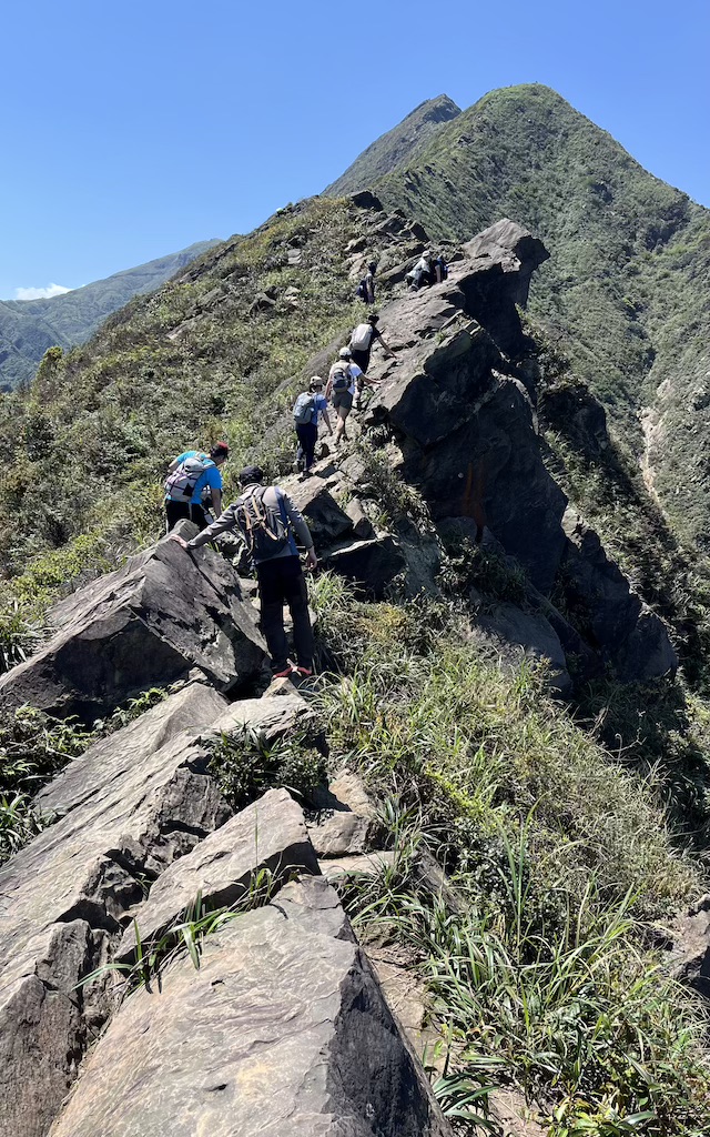
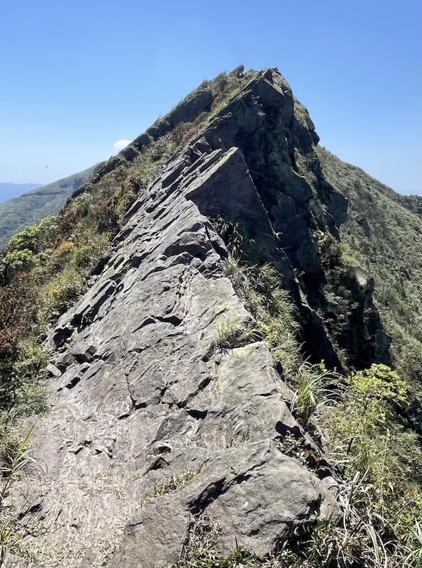
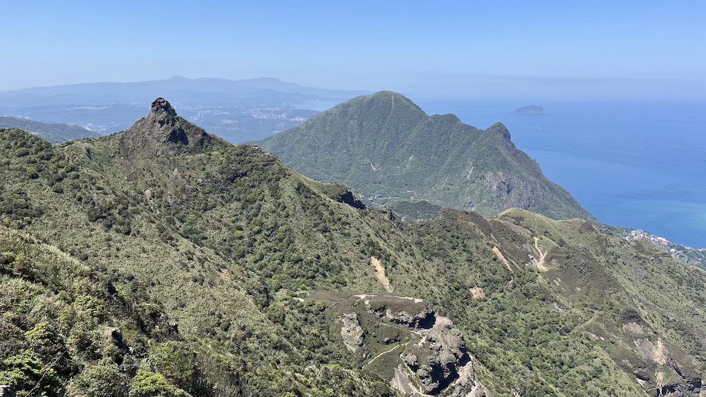
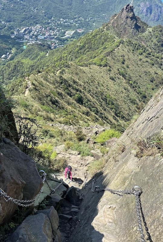
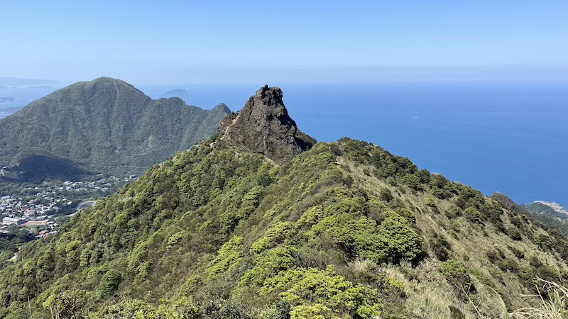
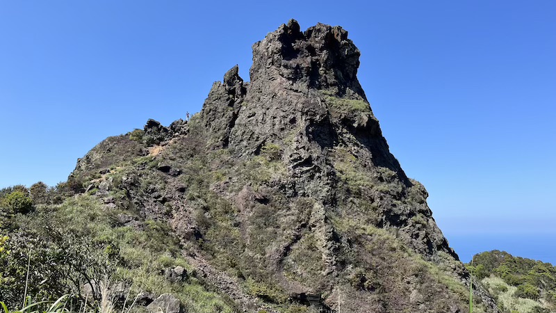
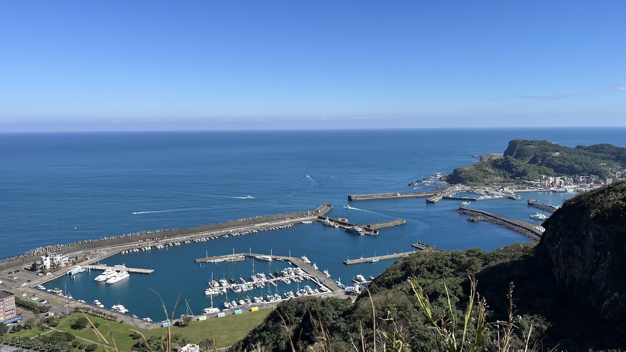
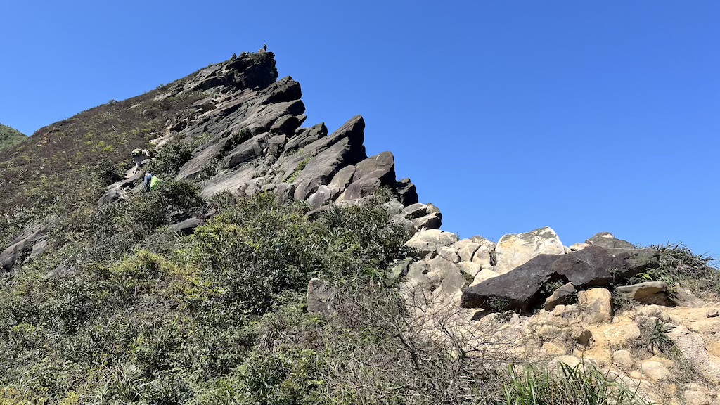
Located in Ruifang District (瑞芳區), New Taipei City, Stegosaurus Ridge (劍龍稜) is one of the “Golden Ten Ridges” of the Northeast Coast. It’s named for its dramatic, jagged ridgeline, which resembles the back of a Stegosaurus. This trail is renowned for its challenging rock climbing sections and breathtaking mountain and ocean views, earning it the reputation of the “King of Suburban Mountains.”
Why you’ll love it?
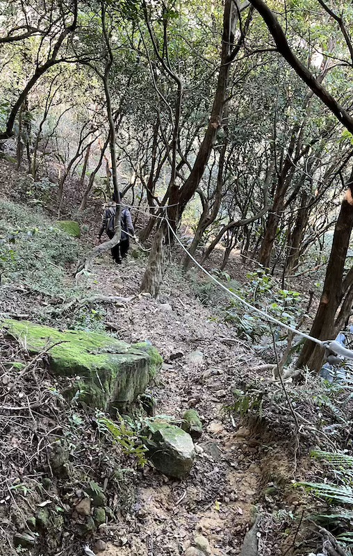
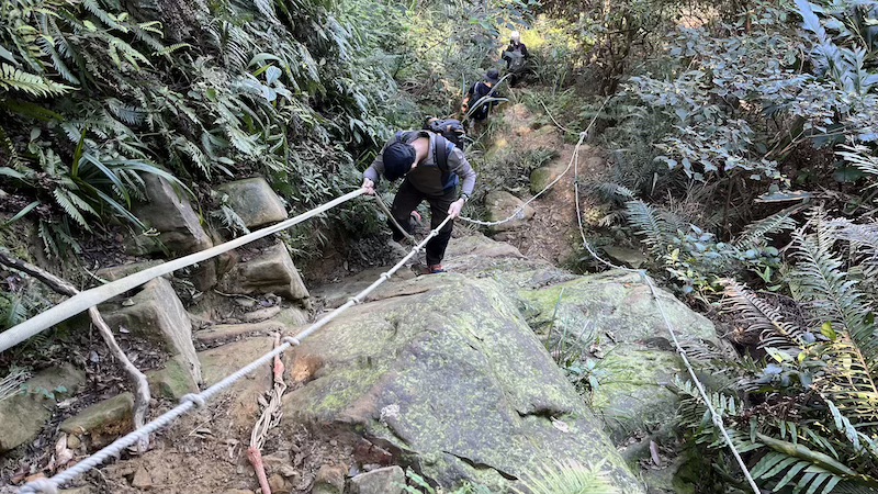
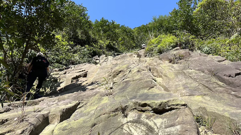
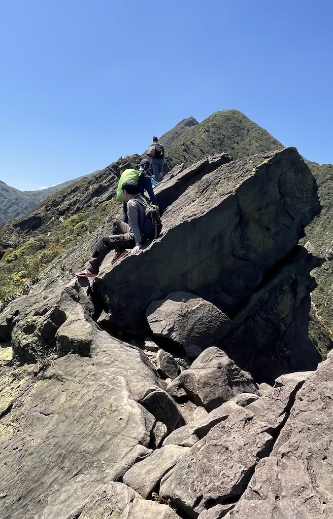
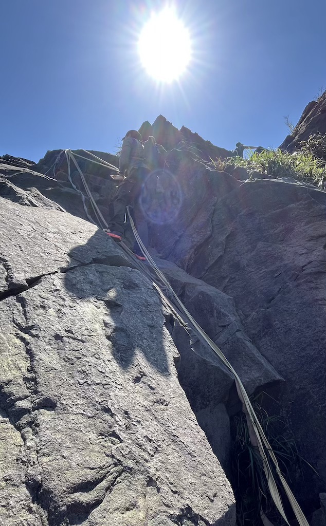
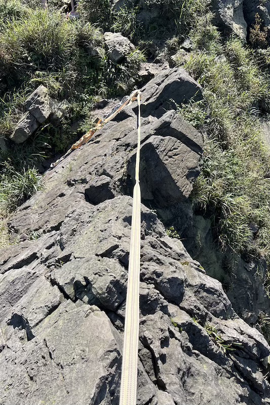
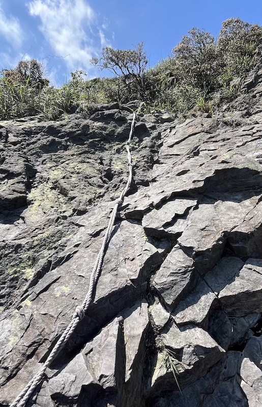
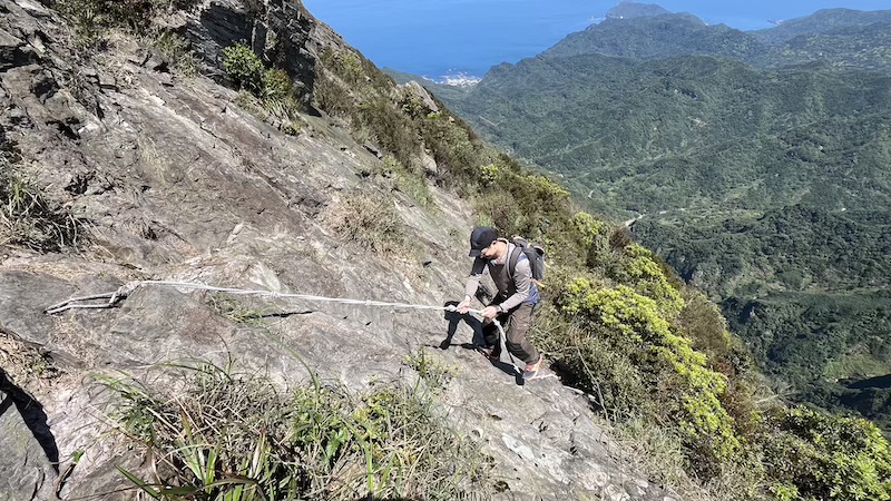
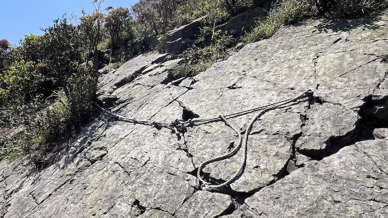
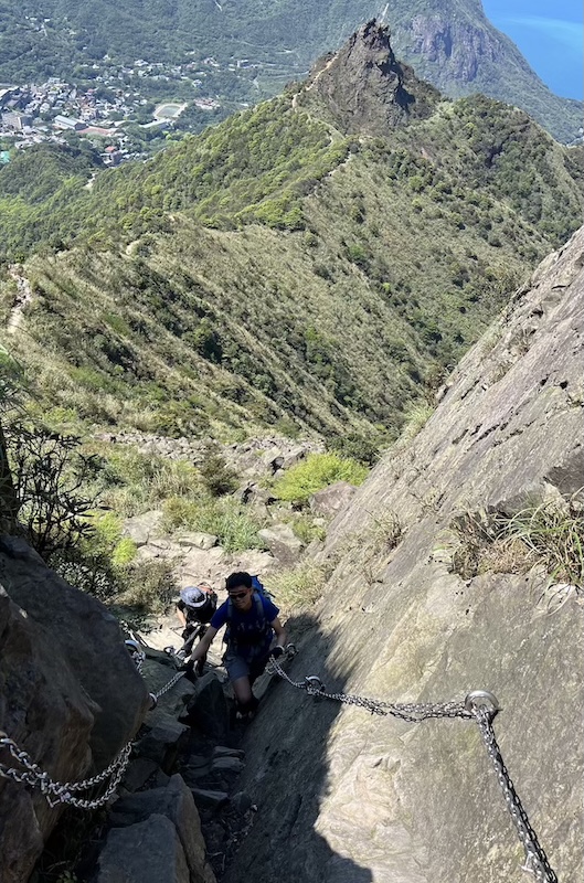
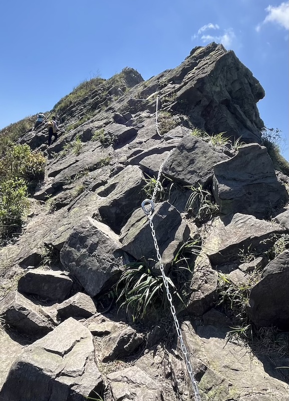
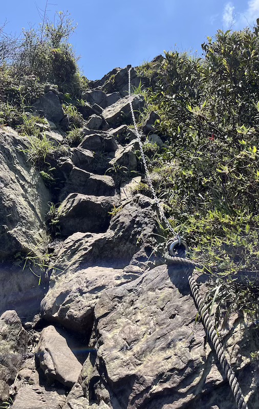
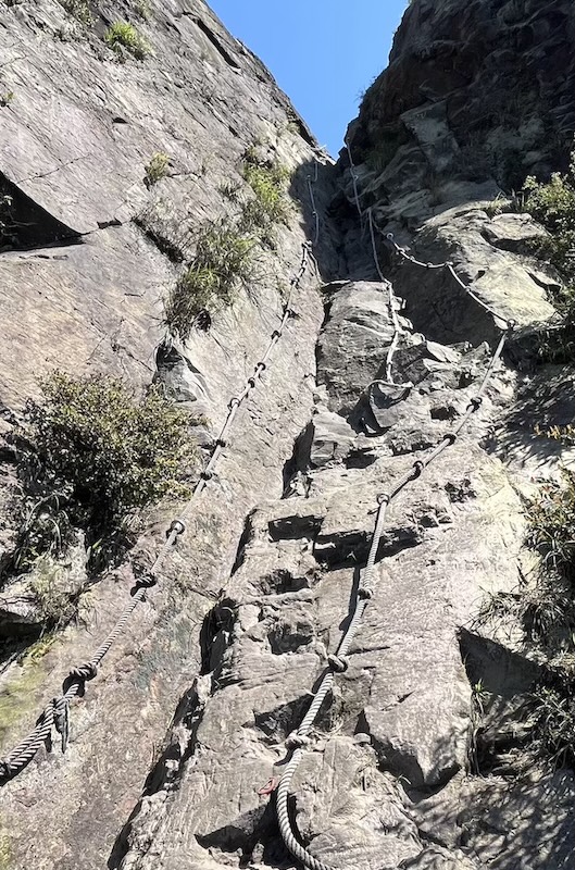
- Extreme Rock Scrambling – Use both hands and feet to tackle rugged rock faces and exposed ridges.
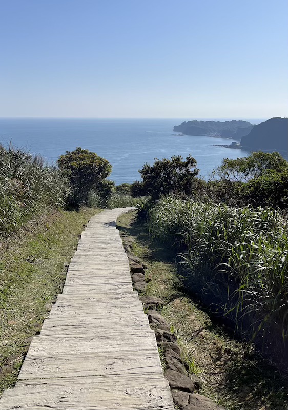
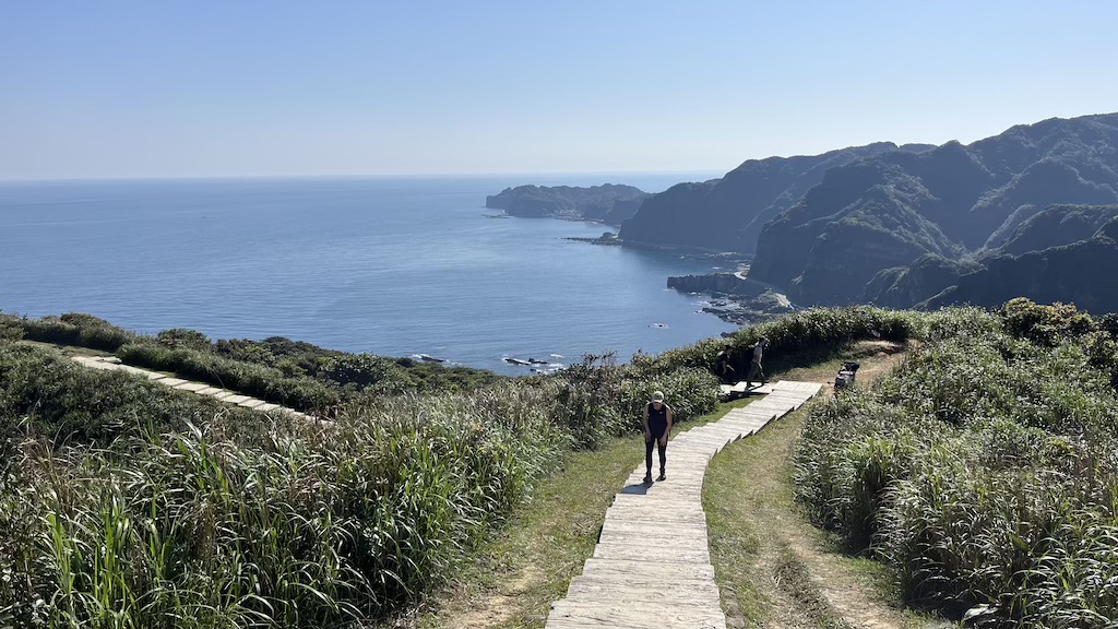
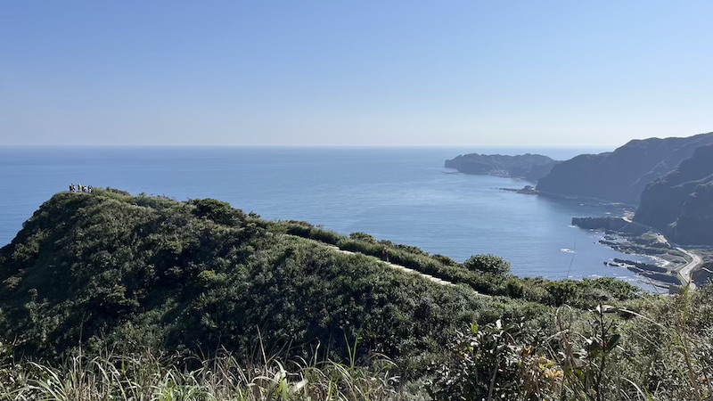
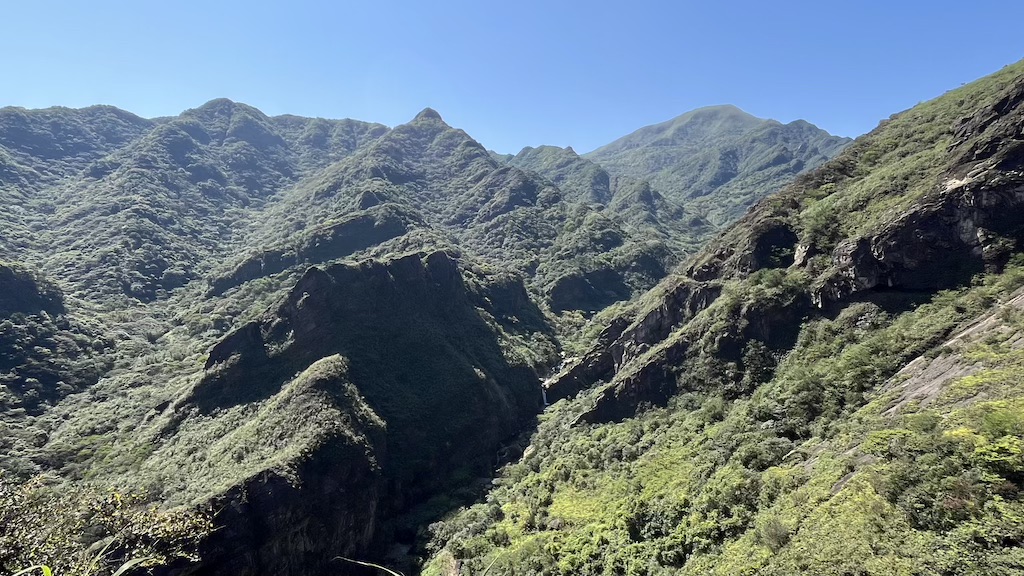
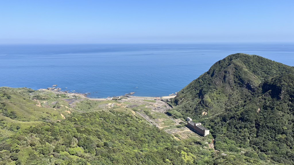
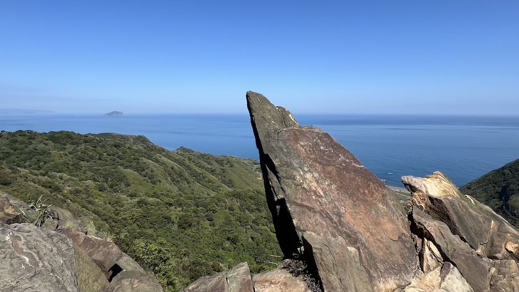
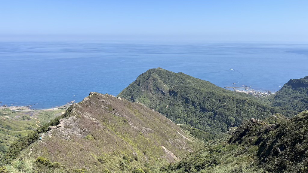
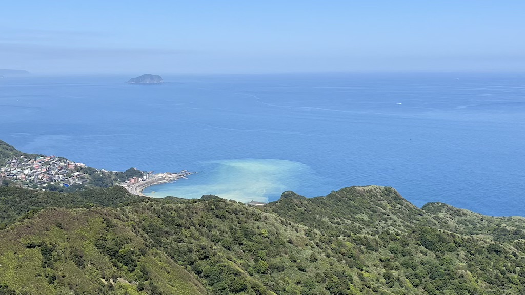
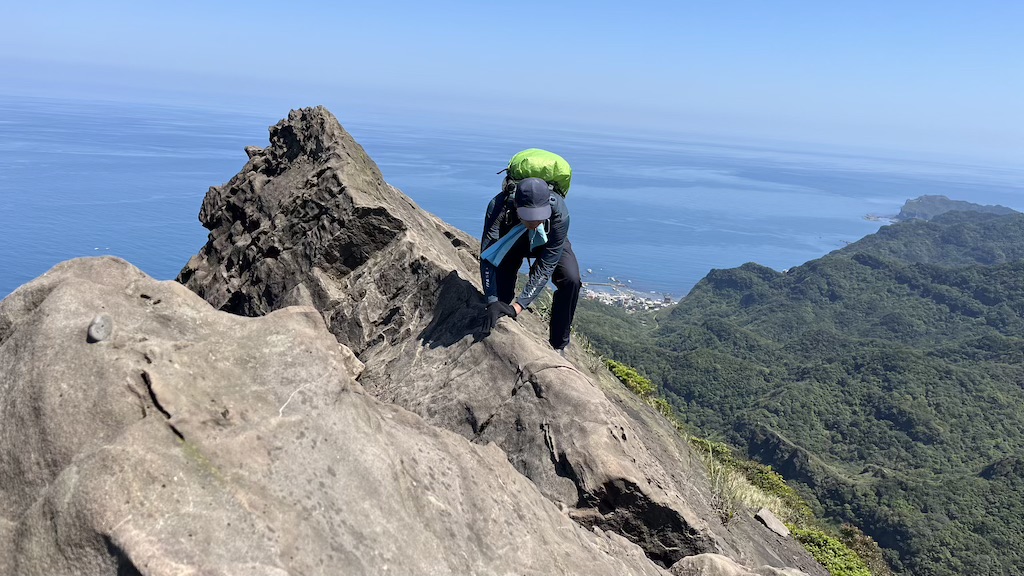
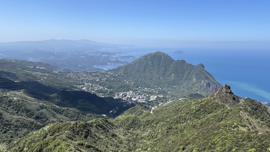
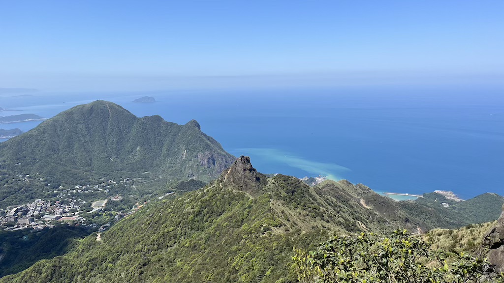
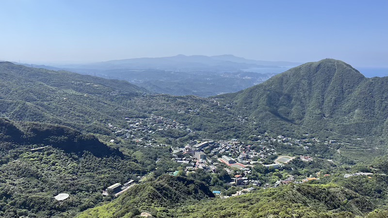
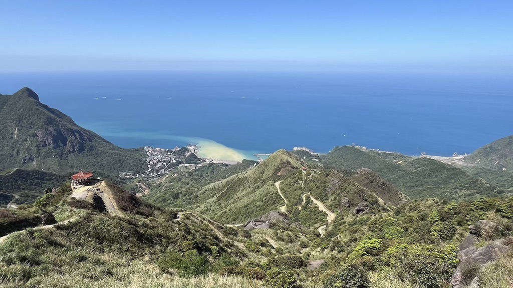
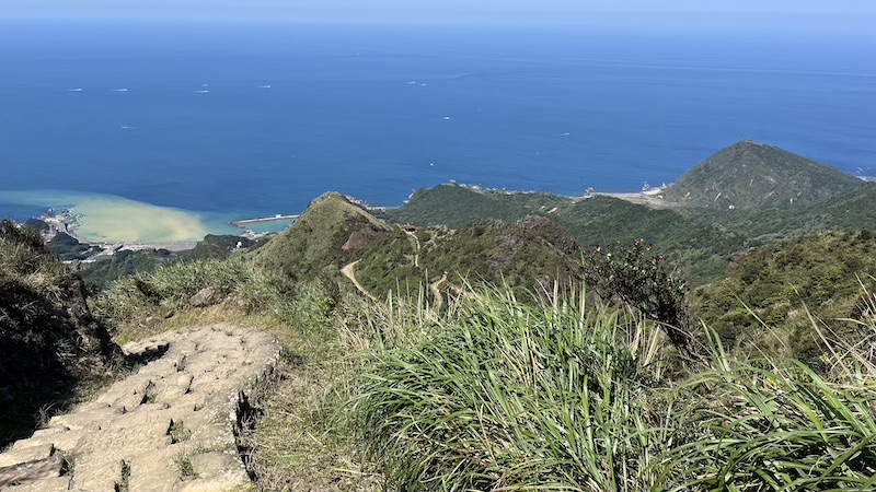
- Jaw-dropping Coastal Views – Enjoy panoramic views of Yin-Yang Sea, Keelung Mountain, and the majestic Northeast Coast’s mountain-meets-ocean landscapes.
- Challenging High-Intensity Traverse – Approximately 7.6 kilometers (4.7 miles) long, this hike takes 6~10 hours and features steep ascents that require serious endurance.
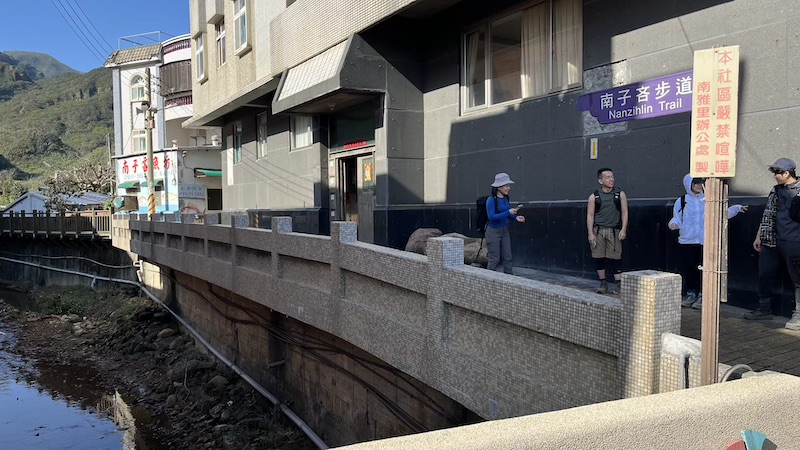
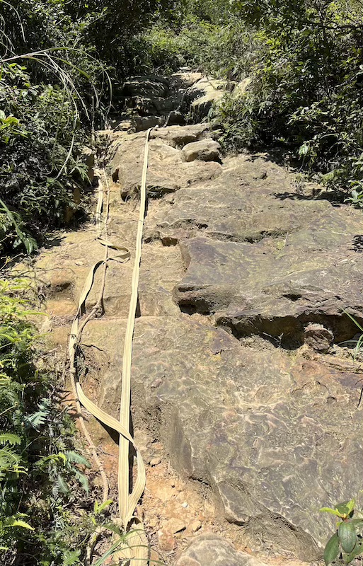
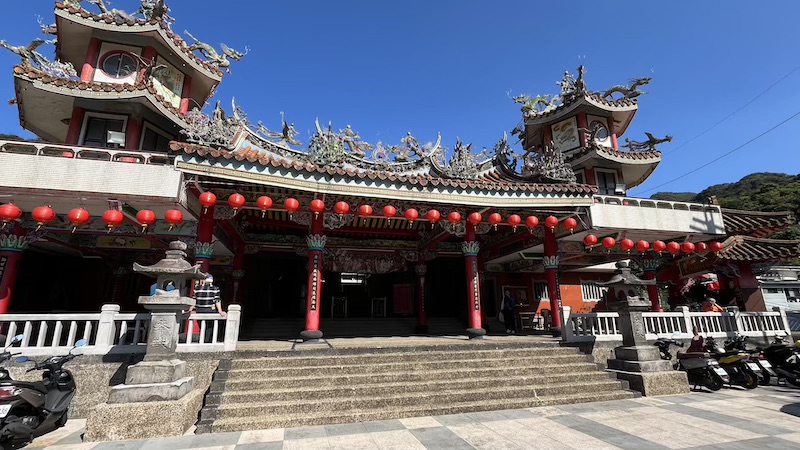
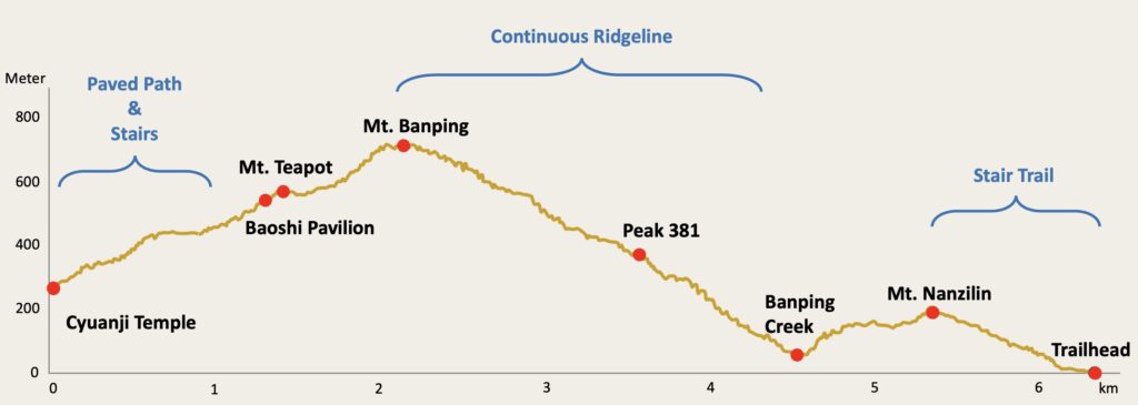
This guide covers the full traverse route, starting from Nanya Nanxin Temple (南雅南新宮), ascending Nanzilin Mountain (南子吝山) via the Nanzilin Trail (南子吝步道), descending to Banping Creek (半屏溪), and then climbing a 70-degree rock wall to Stegosaurus Ridge. The adventure continues past Peak 381 and Peak 555, reaching the V-shaped cliff. From there, you’ll make a short out-and-back detour to Banping Mountain (半屏山), return to the cliff, descend toward Teapot Mountain (茶壺山), and finally end at Cyuanji Temple (勸濟堂). This route is exceptionally challenging, requiring extensive rock climbing and traversing narrow ridgelines with significant exposure, making it perfect for adventurous hikers.

Trail Highlights
What to See on Stegosaurus Ridgel?
- Nanzilin East Peak (南子吝山東峰) – 180m
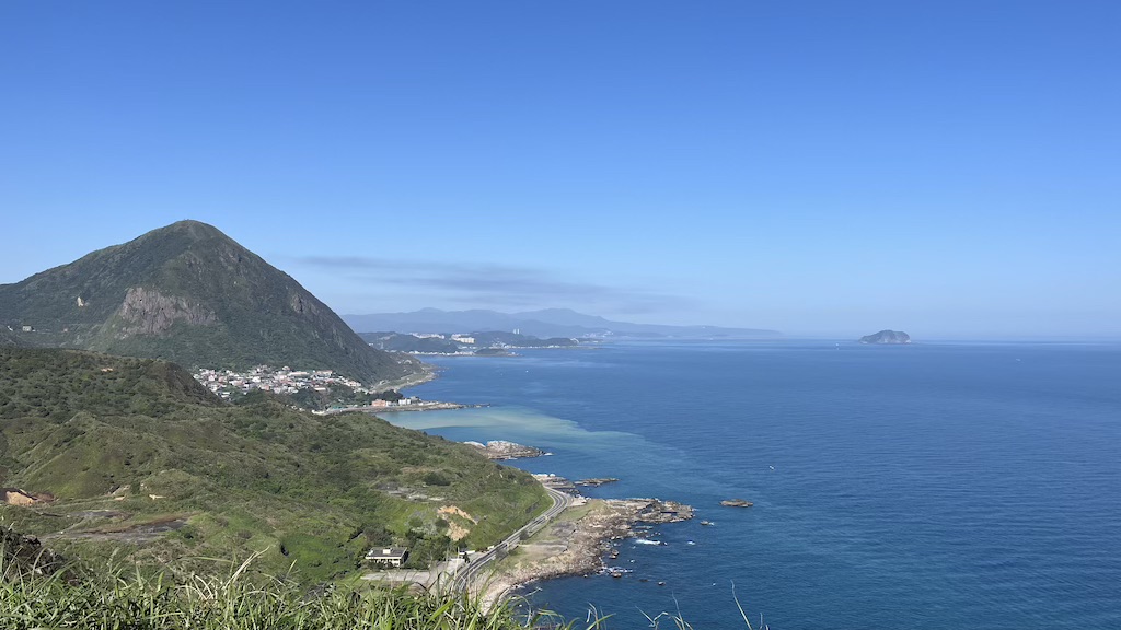
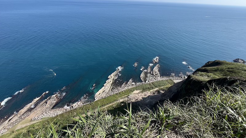
- A small platform right by a cliff, offering a stunning overlook of the coastal highway and Nanya Rock.
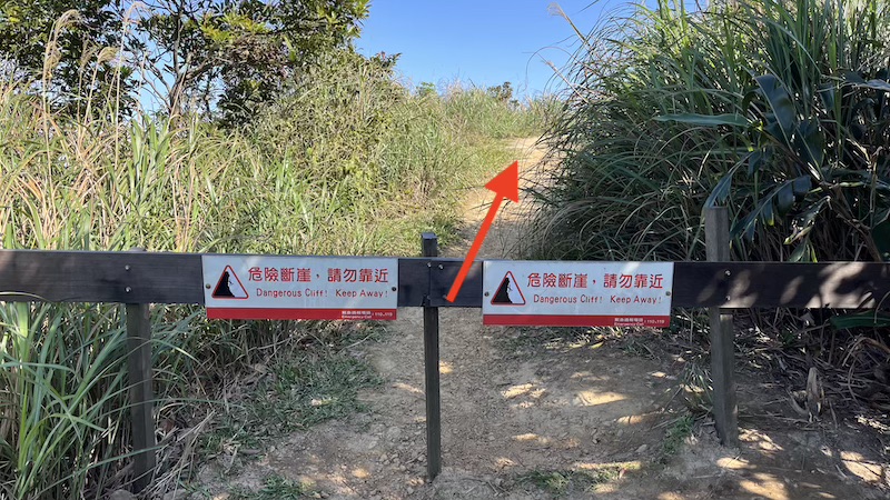
- No safety barriers—be extra cautious!
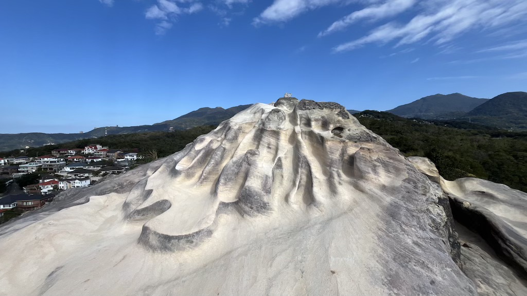
- Nanzilin Mountain (南子吝山) – 196m
- Marked by a stone benchmark and a star-shaped sign.
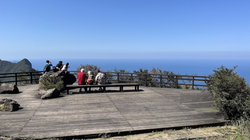
- 360-degree panoramic views of the Northeast Coast and surrounding mountains.
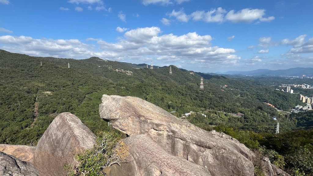
- Stegosaurus Ridge (劍龍稜)
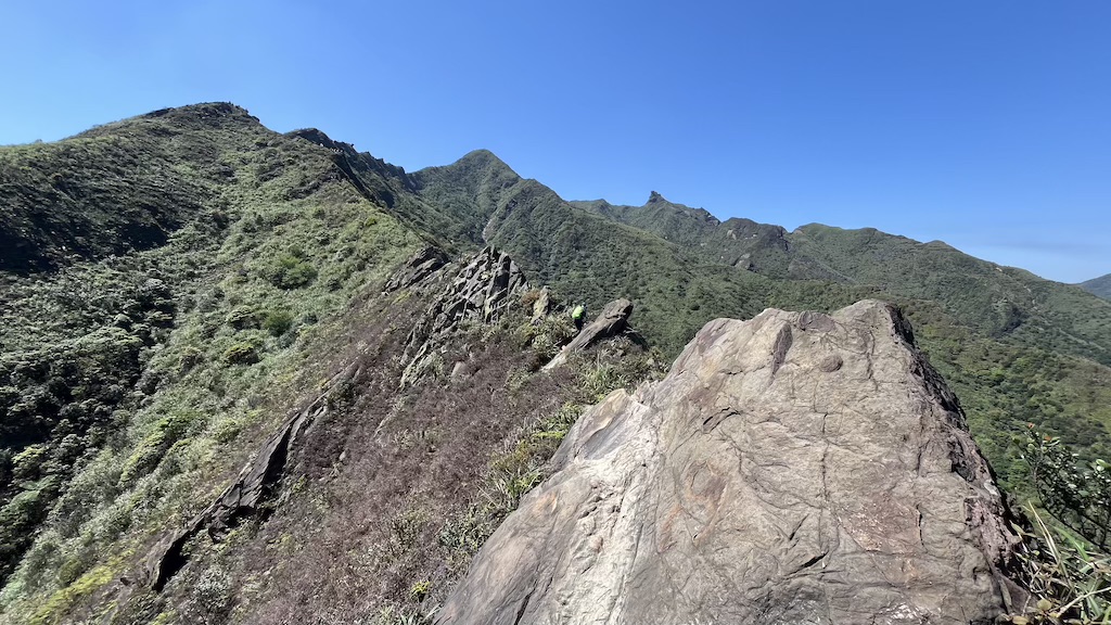
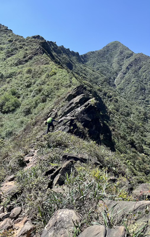
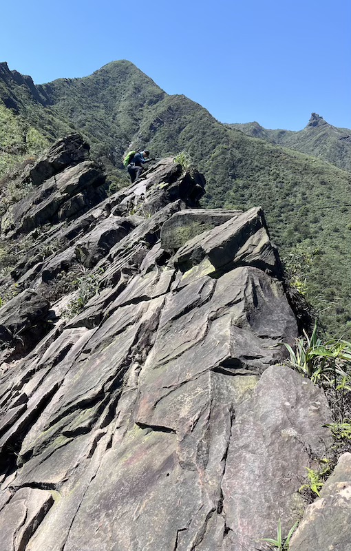
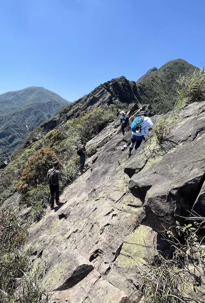
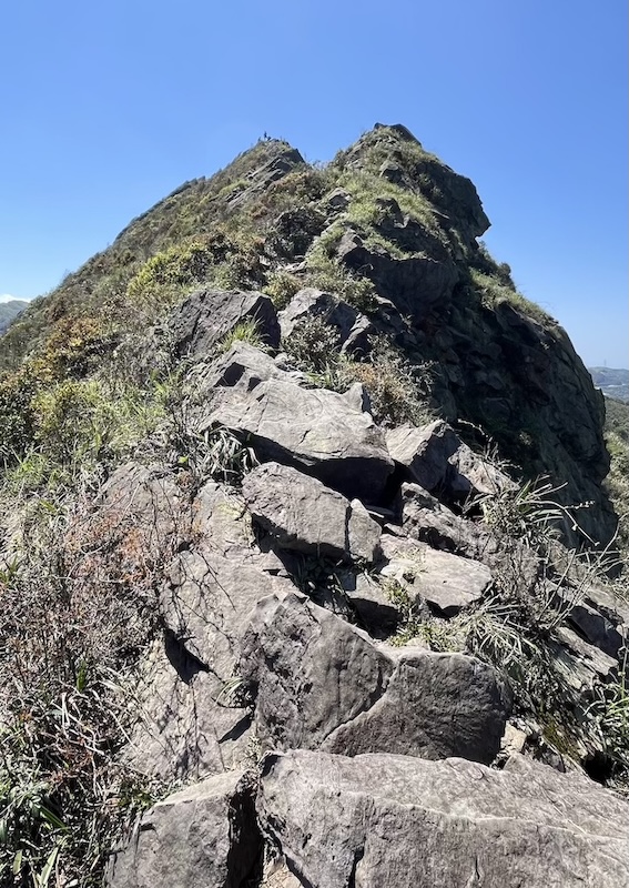
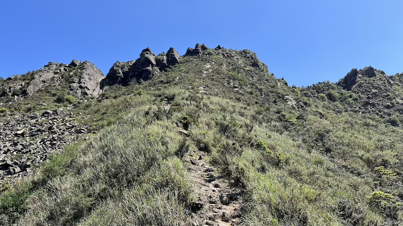
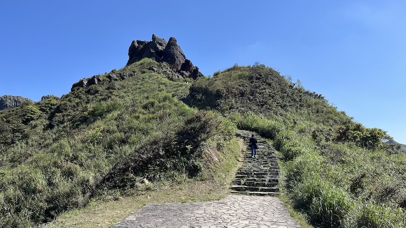
- A narrow ridgeline of large, sharp rocks, with strong exposure throughout the traverse.
- Hands-and-feet climbing required, offering both challenges and stunning scenery.
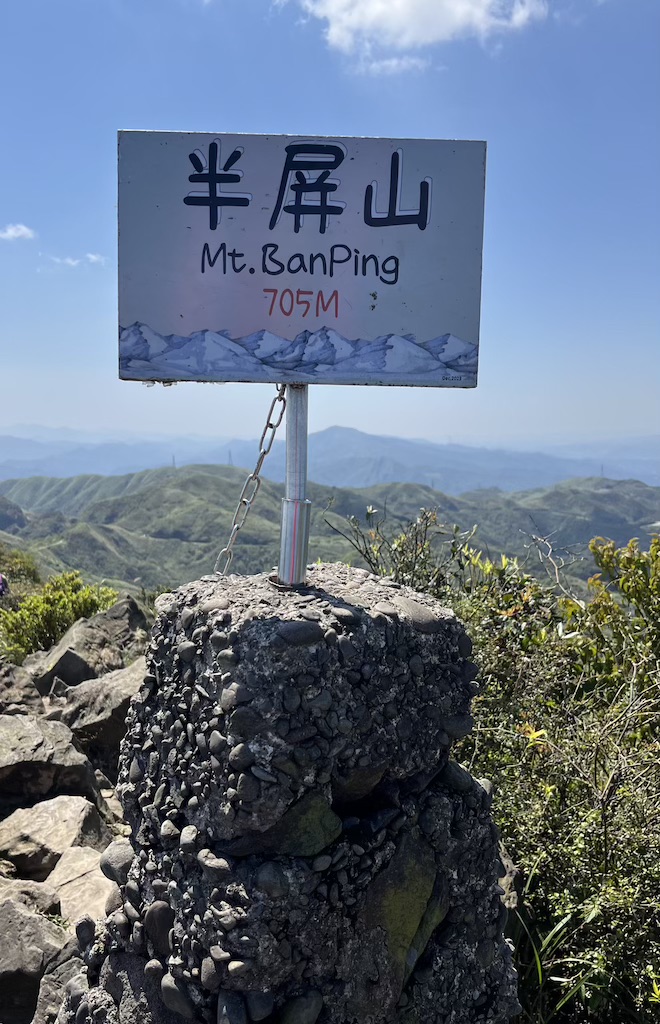
- Banping Mountain (半屏山) – 173m
- One of the highest peaks in the area, with amazing views of rolling mountains and the Northeast Coast.
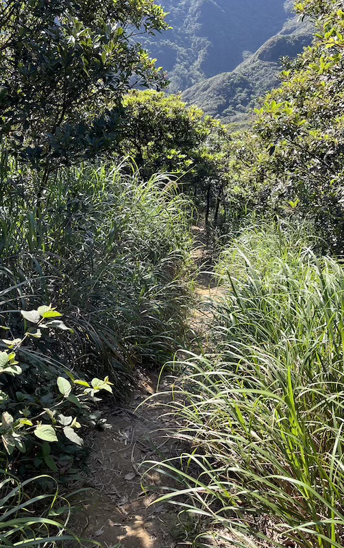
- Pro Tip: Best in autumn (November–December) when silvergrass covers the slopes.
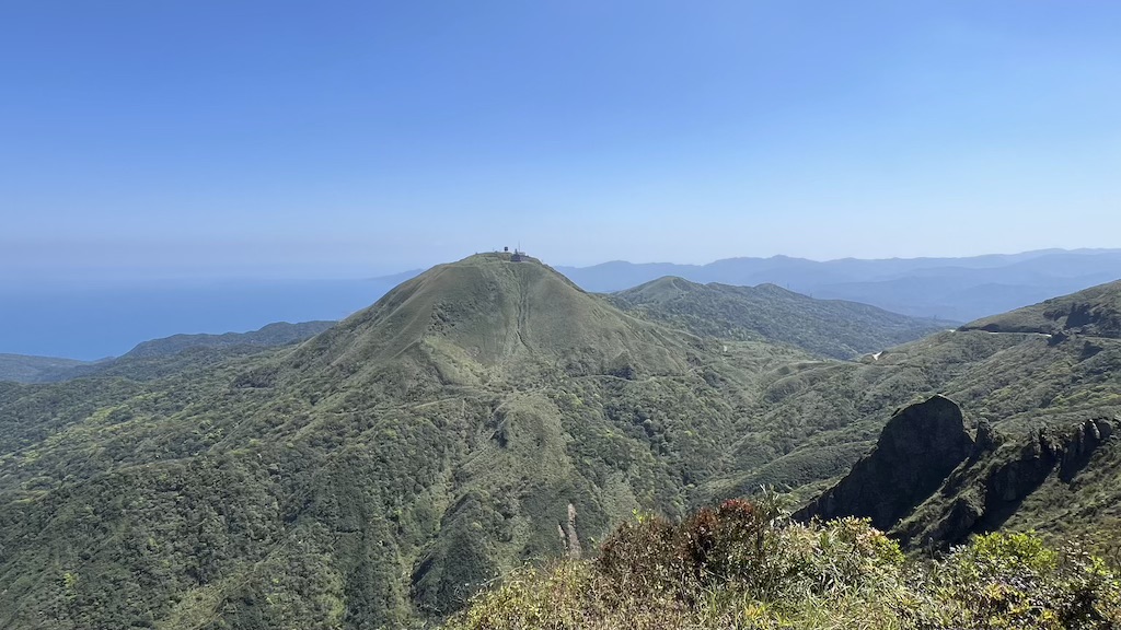
- Teapot Mountain (茶壺山) – 580m
- Also known as “Earless Teapot Mountain” (無耳茶壺山) for its teapot-like shape—but without a handle!
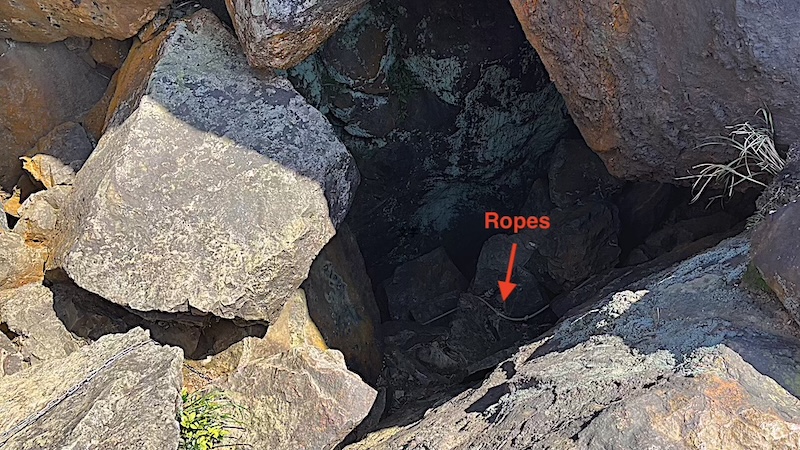
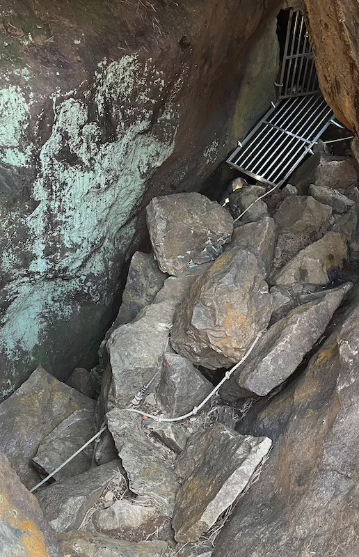
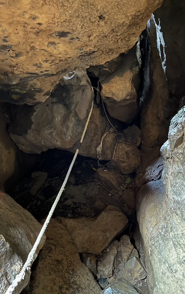
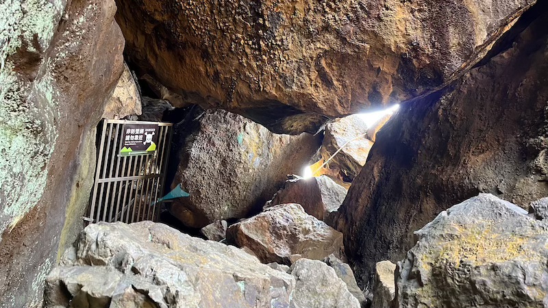
- Features a natural rock caves with rope assistance to reach the summit.
Getting There
Trailhead Location
- Google Maps: Nanya Nanxin Temple (南雅南新宮)
By Public Transport
- To the Trailhead
- Option 1 – From Ruifang Train Station: Take the Taiwan Tourist Shuttle Bus 856 (Golden Fulong Line) at Residents’ Square Bus Stop (區民廣場) and get off at Nanya Nanxin Temple (南雅南新宮).
- Bus 856: Timetable
- From Ruifang Train Station to Residents’ Square Bus Stop (區民廣場): 4-min walk (Google Maps directions)
- Option 2 – From Keelung Train Station: Take Keelung Bus 791 at Keelung Transit Station Bus Stop and get off at Nanya Nanxin Temple (南雅南新宮).
- Bus 791: Timetable (English available)
- Bus 791: Real-time bus info (English available)
- From Keelung Train Station to Keelung Transit Station Bus Stop: 3-min walk (Google Maps directions)
- Option 1 – From Ruifang Train Station: Take the Taiwan Tourist Shuttle Bus 856 (Golden Fulong Line) at Residents’ Square Bus Stop (區民廣場) and get off at Nanya Nanxin Temple (南雅南新宮).
- Return from Cyuanji Temple (勸濟堂)
- At Cyuanji Temple Bus Stop, take Keelung Bus 1062 via Ruifang Train Station to MRT Zhongxiao Fuxing Station.
- Bus 1062: Timetable and real-time bus info
- Location of Cyuanji Temple Bus Stop: Google Maps
- At Cyuanji Temple Bus Stop, take Keelung Bus 1062 via Ruifang Train Station to MRT Zhongxiao Fuxing Station.
By Car/Scooter
- To the Trailhead
- Navigation: Nanya Nanxin Temple (南雅南新宮)
- Parking: The Nanya Fishing Harbor Parking Lot opposite Nanya Nanxin Temple is currently under renovation (expected completion by late 2025). It is recommended to park at Nanya Rock Parking Lot (Google Maps: Link | GPS: 25.118878, 121.892997) and walk 8~10 minutes to the trailhead.
- Return to Parking Lot
- Bus: From Jinguashih (Gold Ecological Park) Bus Stop, take the Taiwan Tourist Shuttle Bus 856 (Golden Fulong Line) to Nanya Nanxin Temple, then walk 8~10 minutes back to Nanya Rock Parking Lot.
- Bus 856: Timetable (English available)
- Location of Jinguashih (Gold Ecological Park) Bus Stop: Google Maps
- Taxi: Call a taxi directly to Nanya Rock Parking Lot. The ride takes around 15 minutes and costs approximately NT$300~350.
- Bus: From Jinguashih (Gold Ecological Park) Bus Stop, take the Taiwan Tourist Shuttle Bus 856 (Golden Fulong Line) to Nanya Nanxin Temple, then walk 8~10 minutes back to Nanya Rock Parking Lot.
Hiking Information
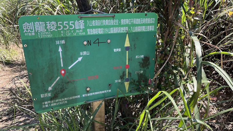
- Route: Nanya Nanxin Temple (南雅南新宮) → Nanzilin Trail (南子吝步道) → Nanzilin East Peak (南子吝山東峰) → Nanzilin Mountain (南子吝山) → Banping Creek (半屏溪) → Stegosaurus Ridge (劍龍稜) → Peak 381 → Peak 555 → V-shaped Cliff → Banping Mountain (半屏山) → V-shaped Cliff → Teapot Mountain (茶壺山) → Cyuanji Temple (勸濟堂)
- Distance: Approximately 7.6 km (4.7 miles)
- Difficulty: High
- Permit: No
- Suggested Time: 6~8 hours (weekends can be crowded, expect delays at Stegosaurus Ridge)
- My Time Log:
- 08:25 Nanya Nanxin Temple (南雅南新宮)
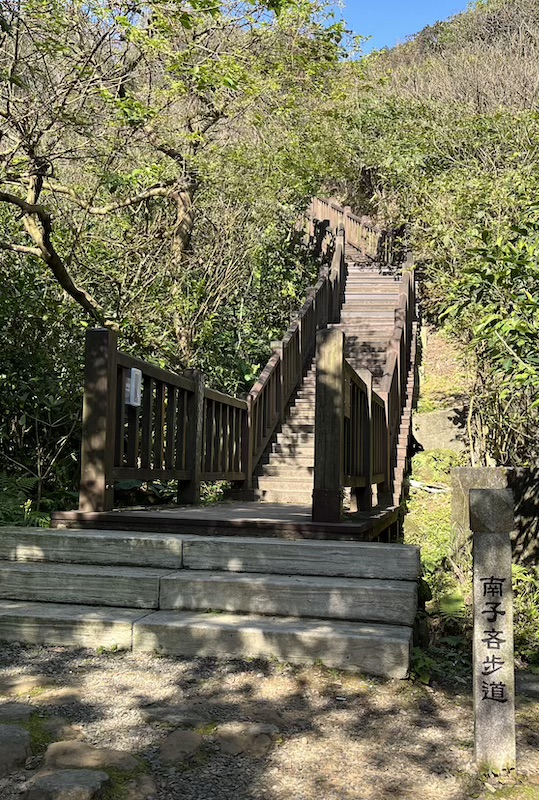
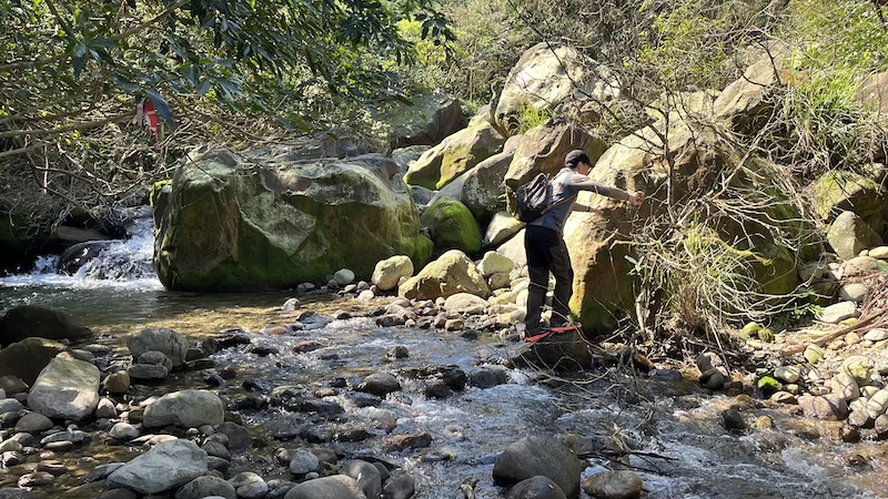
- 08:26 Trailhead of Nanzilin Trail (南子吝步道)
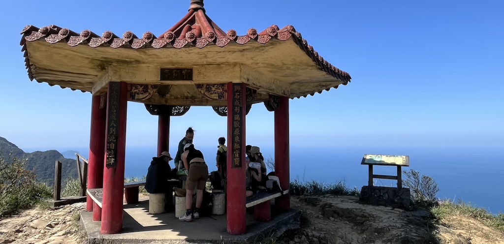
- 08:38 Pavilion
- 08:50 Nanzilin Mountain East Peak (南子吝山東峰)
- 08:55 Nanzilin Mountain (南子吝山)
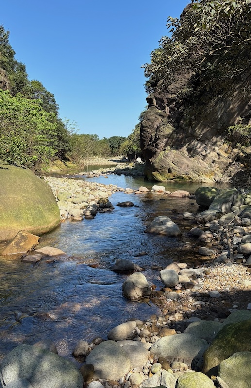
- 09:40 Banping Creek
- 10:10 Stegosaurus Ridge (劍龍稜)
- 11:04 Peak 381
- 11:40 Peak 555 (10-minutes lunch break)
- 12:46 Fork to Banping Mountain & Teapot Mountain (V-shaped cliff)
- 12:53 Banping Mountain (半屏山)
- 13:00 Fork to Banping Mountain & Teapot Mountain (V-shaped cliff)
- 13:37 Teapot Mountain (茶壺山)
- 13:54 Baoshi Pavillion (寶獅亭) (10-minute break)
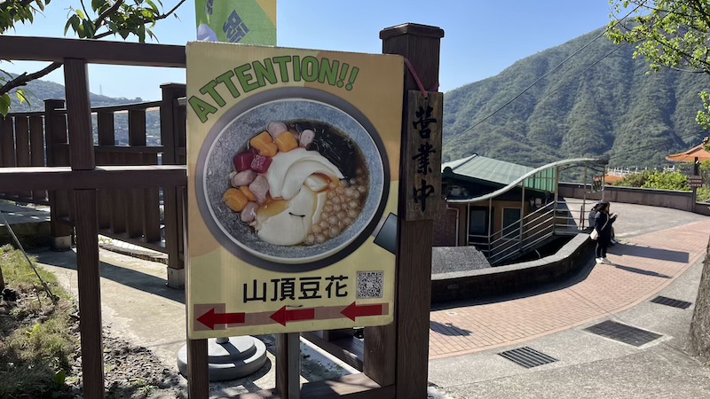
- 14:32 山頂豆花(Tofu pudding shop) (20-minute rest)
- 14:54 Cyuanji Temple Bus Stop (勸濟堂)
- Note: As a reference, I completed the Tokyo marathon in 6 hours. Your timing may vary based on fitness level and rest time.
GPX Track Download
- Recorded on: March 22, 2025.
- Download GPX track (waypoints included) from my Google Drive: Stegosaurus Ridge.
Weather Forecast
- Central Weather Administration website: Reifung District, New Taipei City.
- Check live webcam: Jiufen Old Street webcam (If it’s raining in Jiufen, there’s a high chance of rain in nearby Ruifang)
Planning Your Hike
Best Time to Visit
- Ideal Seasons: Spring & Fall.
- Avoid: Summer (unbearable heat) and winter (strong northeast monsoon winds).
- Cancel for Rain: Never attempt this hike during or after rainfall – wet rocks become extremely dangerous!
What to Bring?
- Water: Minimum 2 liters (more in hot weather).
- Sun Protection: Hat, sunglasses and sunscreen (no shade for 90% of the trail).
- Electrolytes: Sports drinks or salt tablets to prevent cramping.
- Safety Gear: Helmet and gloves for rock sections.
- Headlamp: Essential if finishing late (especially in winter with shorter daylight.
- Navigation: Download an offline map and GPS track before your hike due to many forks along the trail.(Download link:)
Important Tips
- Experienced Required: This trail is not suitable for beginners or those with a fear of heights.
- No Restrooms: Public toilets are available only at the start (Nanya Nanxin Temple) and end (Quanjitang Temple).
- Mobile Signal: Generally good throughout the trail, except at Banping Creek.
- Time Management: Check last bus departure times if using public transport and plan for extra time since the trail is challenging and can be crowded on weekends.
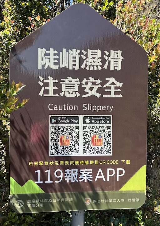
- Emergency Assistance: Several emergency signposts are placed along the trail. In case of an emergency, scan the QR code on the sign to download the 119 Emergency Reporting App for assistance.
Day Trip Plan (by Public Transport)
It’s possible to complete this trail in a single day using public transportation. Here’s a sample itinerary for your reference.
Time | Transport | Journey | Fare | Note |
07:34~08:28 | Train #4148 | Taipei Main Station → Ruifang Station | NT$49 | |
08:28~09:00 | 4-min walk | Ruifang Station → Residents’ Square (區民廣場) | Bus stop is at Residents’ Square (區民廣場) | |
09:00~09:33 | Bus #856 | Residents’ Square → Nanya Nanxin Temple | NT$30 | Time table of Bus #856 (English available) |
09:40~17:00 | Hiking | Stegosaurus Ridge | ||
17:35~18:30 | Bus #1062 | Cyuanji Temple (勸濟堂) → MRT Zhongxiao Fuxing Station | NT105 |
In Pictures
