Plan your trek to Taiwan’s second-highest peak with this step-by-step guide — covering the foreigner priority quota, public transport, and latest updates on 369 Cabin.
📝 Editor’s Note: This guide has been fully updated for 2026, including the latest status on the 369 Cabin reconstruction (camping only) and current transport schedules.
Overview
Xueshan (Snow Mountain), located inside Shei-Pa National Park, is Taiwan’s second-highest peak at 3,886 meters — just below Yushan (Jade Mountain). It’s also one of the most popular Baiyue (Taiwan’s 100 Peaks), known for its dramatic alpine landscapes and well-maintained trails.
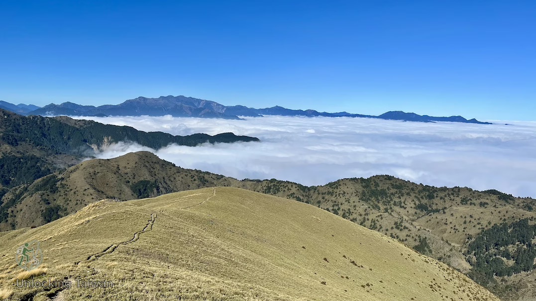
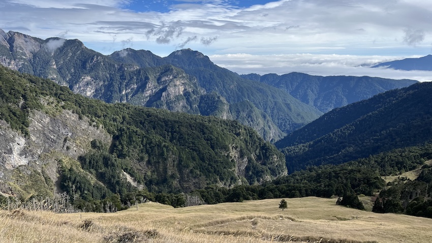
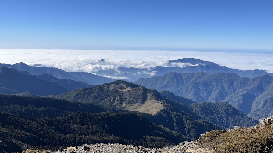
The Xueshan East and Main Peaks Trail (雪山主東峰步道) begins inside Wuling Farm in Taichung, attracting both local and international hikers year-round. Along the way, the landscape shifts dramatically — from fir forests and grassy slopes covered in dwarf bamboo to open ridgelines floating above the clouds.
Covering about 22 km round trip, the hike typically takes 2~3 days. With well-equipped mountain huts, varied terrain, and wide-open alpine views, this route is widely regarded as one of the most scenic and beginner-friendly high mountain hikes in Taiwan — an ideal introduction to the world of the 100 Peaks.
💡 Disclosure: This article contains affiliate links. If you book through them, I may earn a small commission at no extra cost to you. Thanks for supporting Unlocking Taiwan!
Trail at a Glance
- Distance: 10.9 km one-way (21.8 km round trip)
- Elevation: 2,140 – 3,886 m
- Suggested itinerary: 3 days, 2 nights
- Accommodation: Qika Cabin/Campsite & 369 Temporary Campsite
- Difficulty: Beginner-friendly for high-mountain hikes (3,000+ meters)
- Reputation: One of Taiwan’s most iconic Baiyue routes
Why You’ll Love This Trail
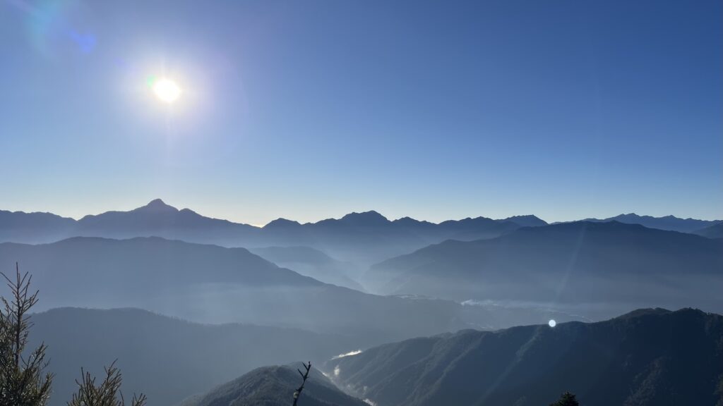
- 🌄 Epic Vistas – Panoramic views of the Holy Ridge, Central Mountain Range, and surrounding peaks
- 🌲 Diverse Terrain – From dense fir forests and glacial cirques to the open summit ridge.
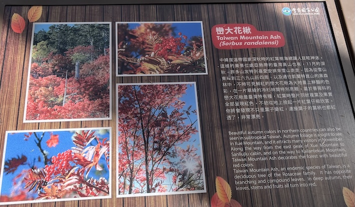
- 🌸 Four-Season Beauty – Rhododendrons bloom in spring and summer, fiery Taiwan Mountain Ash in autumn, and snow-capped peaks in winter.
- 🏕️ Well-Equipped Facilities – Mountain huts and campsites make it ideal for first-time high-altitude hikers.
- 🚍 Easy Access – The trailhead inside Wuling Farm is reachable by public transportation.
Who Is This Hike For?
- ✅ First-time High Altitude Hikers: The perfect introduction to Taiwan’s 3,000m+ peaks.
- ✅ Travelers Without a Car: One of the few Baiyue accessible by public bus.
- ✅ Baggers: Those aiming to summit their first “Baiyue” (Top 100 Peaks).
- ❌ The “Walk in the Park” Crowd: While beginner-friendly, it is still a strenuous multi-day trek requiring good cardio fitness.
*Note 1: “Shan” (山) means “mountain” in Chinese. “Xue / Syue” (雪) means “snow”.
*Note 2: You may see 雪山 written as Xueshan, Xue Mountain, Syueshan, Syue Mountain or Snow Mountain due to different romanization systems.
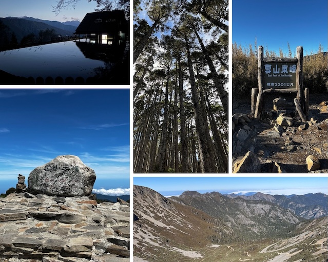
Trail Highlights
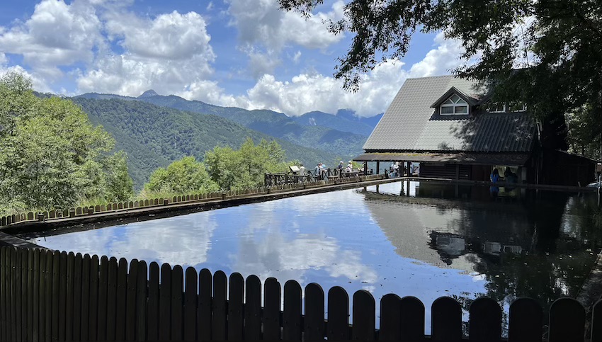
- Trailhead Pond
- Nicknamed the “Big Pond Trailhead,” this reservoir marks the start of the Xueshan Main Trail.
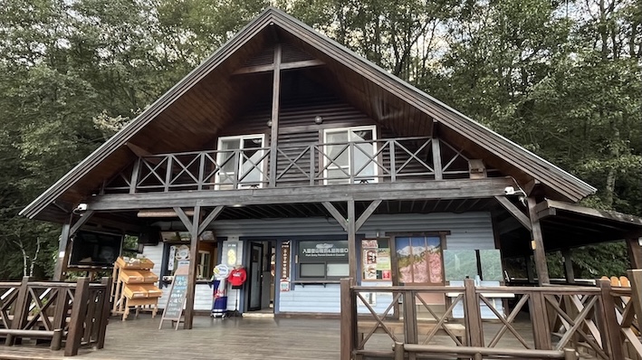
- Its still waters reflect the wooden Xueshan Trailhead Service Station and distant peaks — one of the most photographed spots before the hike begins.
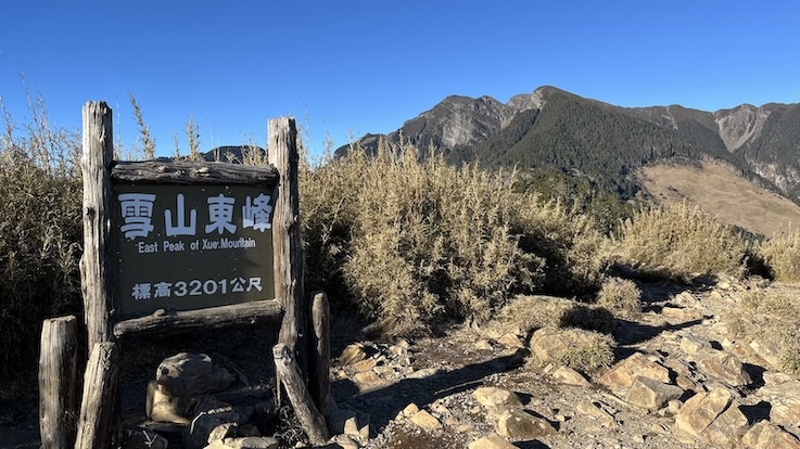
- Xueshan East Peak (雪山東峰) – 3,201m
- Ranked #74 of the Baiyue (Taiwan’s 100 Peaks).
- From the summit, you can enjoy sweeping views of Xueshan Main Peak, the Wuling Four Beauties, Nanhu Mountain, and the Hehuan Range.
- Black Forest (黑森林)
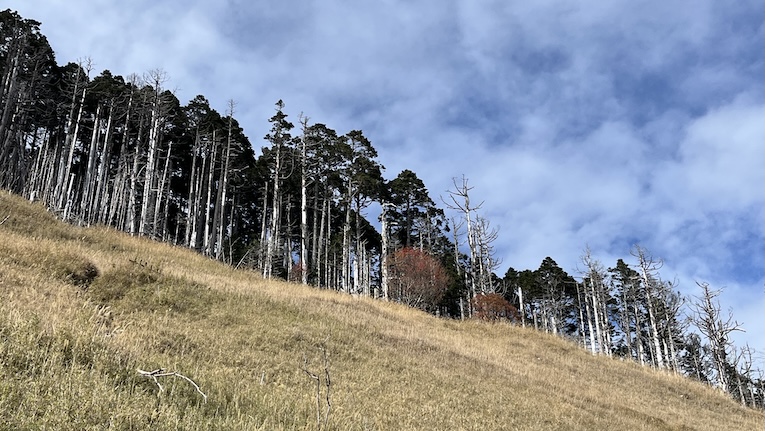
- Taiwan’s highest and largest pure fir forest, and the lowest-latitude fir forest in the Northern Hemisphere.
- The tall, dense trees create a cool, misty atmosphere that feels almost otherworldly.
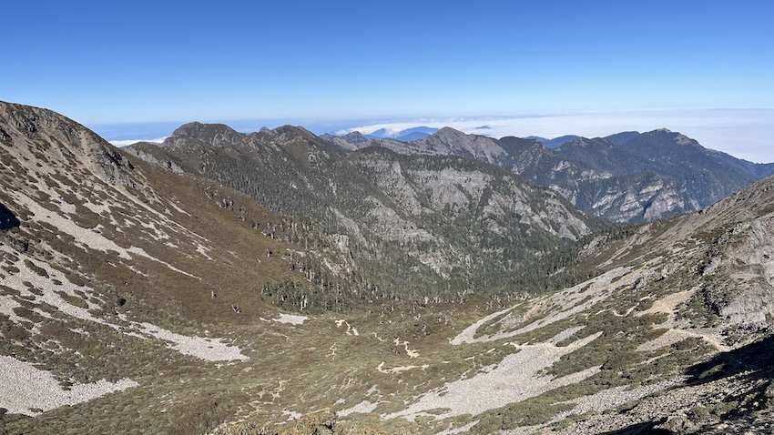
- Glacial Cirque No. 1 (一號圈谷)
- Located just beyond the Black Forest, this impressive glacial cirque stretches 1.4 km long and 600 m wide — the largest and best-preserved glacial cirque in Taiwan.
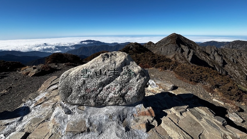
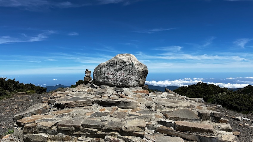
- Xueshan Main Peak (雪山主峰) – 3,886m
- The highest point of the Xueshan Range and Taiwan’s second-highest summit.
- From the summit, you can look out over the vast glacial cirque and the Holy Ridge — the legendary route that begins (or ends) right here.
How to Get to Xueshan Trailhead
The Xueshan Trailhead is located in Wuling Farm (武陵農場). While accessible by public transport, it requires careful planning due to limited bus frequencies.
Trailhead Location & Entrance Fee
- Navigation:📍Google Maps (The trailhead is right next to Xueshan Trailhead Service Station).
- Entrance Fee: Visitors must purchase a ticket to enter Wuling Farm. (Check current rates here)
- Full ticket: NT$160
- Concession (seniors 65+ / children): NT$80
- Vehicle fee:
- Car (sedan) & heavy motorcyle: NT$50
- Scooter: NT$10
By Public Transport
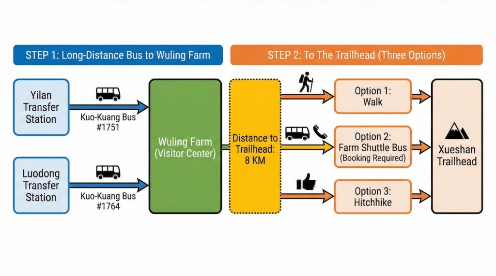
Step 1: Get to Wuling Farm
💡 Pro Tip: The bus ride is long and winding. If you get carsick easily, bring motion sickness medicine.
Step 2: Wuling Farm → Xueshan Trailhead
The bus drops you at the visitor center, but the trailhead is still 8 km.
- Option 1: Walk 1 – 1.5 hrs.
- Option 2: Take the Wuling Farm shuttle bus
- Fare: NT$200 per person (one-way)
- Advanced booking required; depends on shuttle availability.
- 📞 Call Wuling Farm at (04)2590-1258 ext. 2101 or 9 (English spoken!)
- Note: I called Wuling Farm on Dec 19, 2015 and confirmed that they offer this service!
- Option 3: Hitchhike — locals are often friendly and willing to give hikers a lift. (Read my hitchhike story here)
Return Trip
- If taking the bus back, walk back to the Wuling Farm bus stop (about 1 – 1.5 hours from the trailhead).
- From there, you can take one of the following Kuo-Kuang buses back toward Yilan or Luodong.
Bus | Kuo-Kuang Bus #1751 (via Yilan) | Kuo-Kuang Bus #1764 (via Luodong) |
Departure (from Lishan) | 08:30 13:30 | 13:00 |
Estimated Arrival at Wuling Farm (see note) | 09:10~09:30 14:10~14:30 | 13:40~13:50 |
Live Update |
⚠️ Note: Times depend heavily on traffic. We strongly recommend arriving at the bus stop earlier and checking the live links above.
By Car/Scooter
- Navigation: Xueshan Trailhead Service Station (Google Maps)
- From Taipei: Approx. 3.5 – 4 hours via National Freeway No. 5, depending on traffic (Note: National Freeway No. 5 is often congested).
- Parking: There are three parking lots near the trailhead.
- Lot 1: Closest to the trailhead, (fills up quickly).
- Lots 2 & 3: Larger, requiring a short walk up stairs.
By Private Charter & Local Shuttle
A. Private Charter (The Stress-Free Choice)
Highly recommended for groups or those who want to save energy for the hike. Public transport schedules to Wuling Farm are tight. If you miss the morning bus, you lose a whole day. A private charter ensures you get there on time and stress-free.
- Why choose this: English interface, credit card payment, door-to-door service.
- Best for: Hikers who want to avoid bank transfers or language barriers.
👉 Check price & availability: KKDay Private Charter.
B. Local Hiking Shuttle (The Budget Choice)
There are specialized hiking shuttles operated by local Taiwanese companies. They are reliable and often cheaper, but they come with some logistical hurdles:
- Language: Most communicate primarily in Chinese.
- Payment: Often require Bank Transfer.
👉 Recommended Operators:
💰 Estimated Price Reference (One-way / TWD):
Departure From | 1-4 Pax | 5-8 Pax |
Taipei / New Taipei | $5,200 – $5,500 | $6,000 – $6,500 |
Yilan | $3,500 – $4,000 | $4,200 – $5,000 |
Taichung | $6,500 – $7,000 | $7,000 – $7,500 |
⚠️ Note: Prices are for reference only. Please contact operators for the latest quotes.
Hiking Information
Trail Details
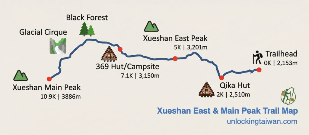
- Route: Trailhead > Qika Cabin > Xueshan East Peak > 369 Cabin (temporary campsite) > Black Forest > Glacial Cirque > Xueshan Main Peak > Return same way.
- Distance (round trip): 21.8 km (13.5 miles).
- Elevation gain/loss: +1,718 m / –1,674 m.
- Altitude range: 2,140–3,886 m.
- Difficulty:
- Beginner-friendly for high-mountain hikes (3,000+ meters)
- Grade 3 under Taiwan’s National Park Trail Classification (Learn more about Taiwan’s trail grades here)
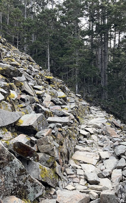
- Trail type: Stone stairs, wooden steps, dirt/root paths, boulder field.
- Managed by: Shei-Pa National Park.
- Suggested Duration: 1–3 days.
Permits
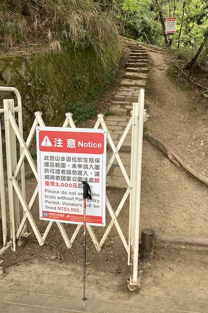
- Park Entry Permit: ✅ Required.
- Mountain Entry Permit: ❌ Not required.
- Note:
- Print 2 copies of Park Entry Permit (for entry and exit) or check in via Shei-Pa app.
- Bring ID and permit for verification at checkpoints:
- Trailhead
- Qika Cabin
- 369 Cabin
Trail Summary
Water Sources
- Qika Cabin: Reliable.
- 369 Temporary Campground: Two 1-ton water tanks (check status before departure).
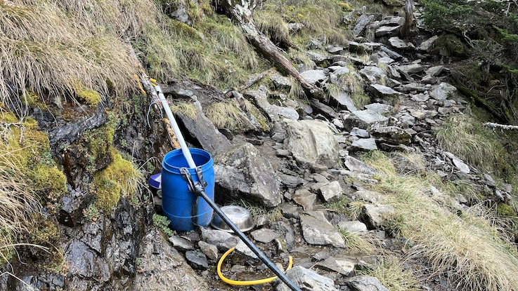
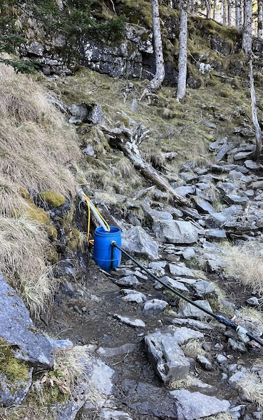
- Black Forest (8.8K): Blue barrel (check status before departure).
Step-by-Step Guide
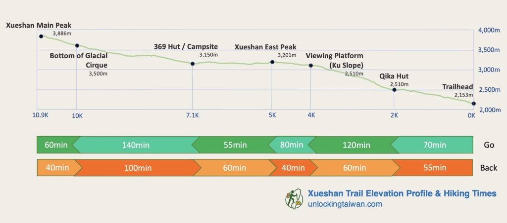
I’ve included a few reference photos and a route map here to help you navigate. For a complete visual walkthrough of the entire trail, check out The Hike in Pictures & Videos at the end of this post.
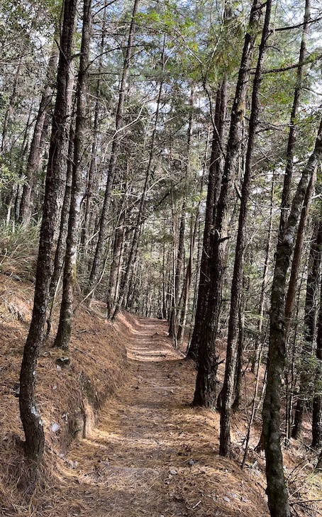
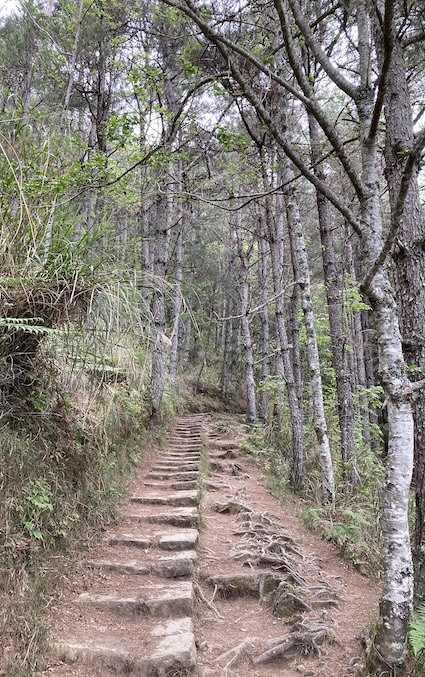
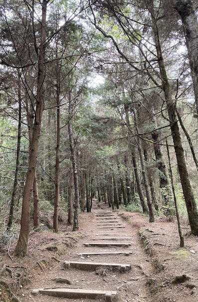
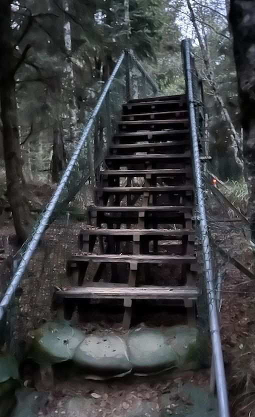
Trailhead to Qika Cabin (0K – 2K)
Gentle warm-up on a well-maintained forest trail.
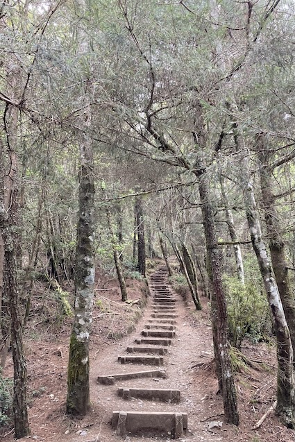
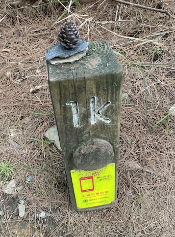
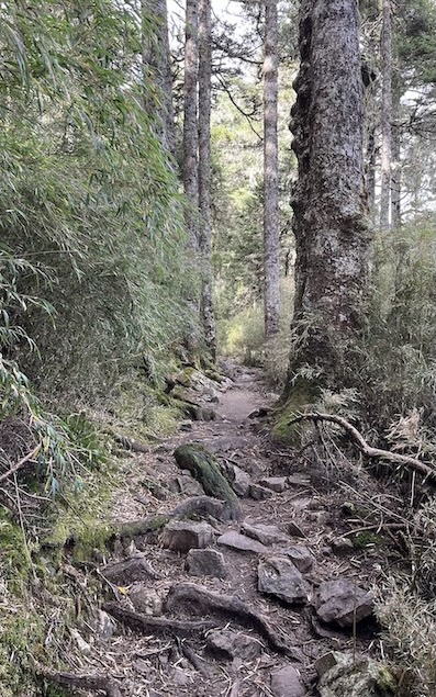
- Walk through pine forest with moderate switchbacks.
- Easy navigation; very low risk of getting lost.
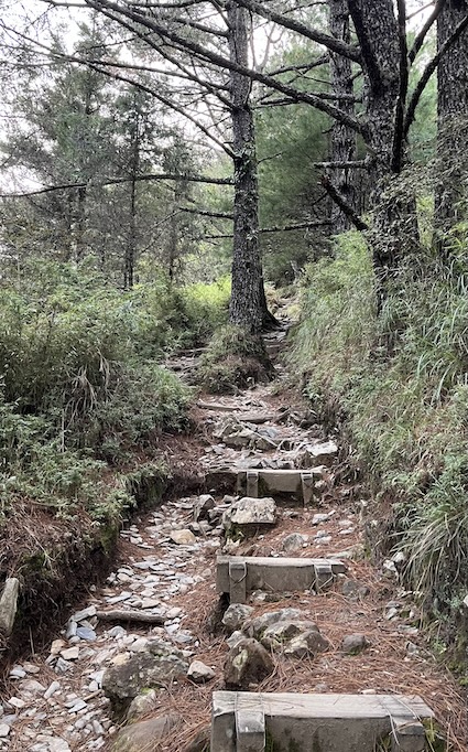
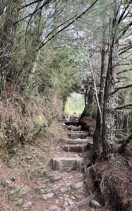
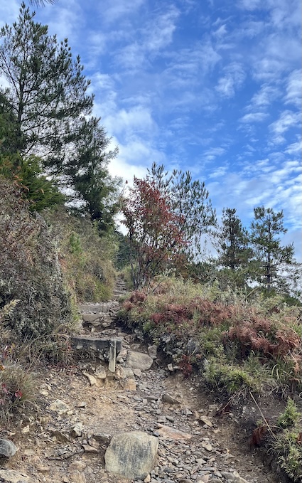
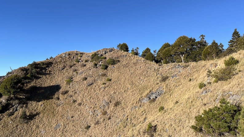
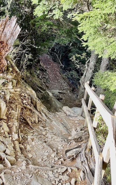
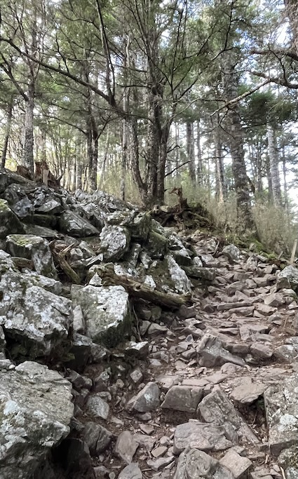
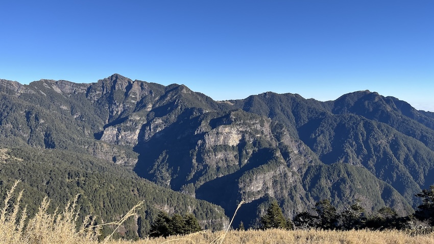
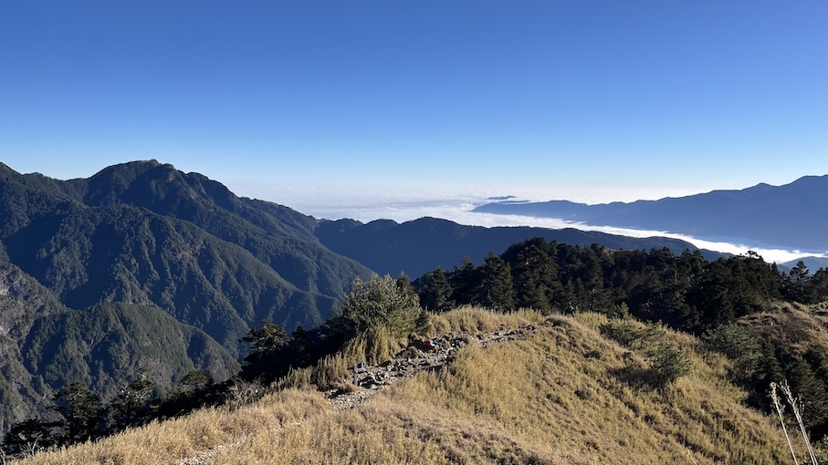
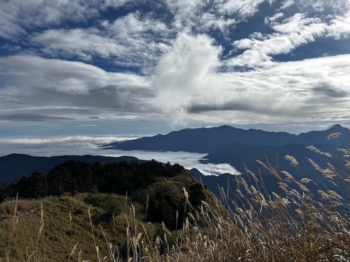
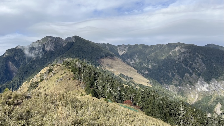
Qika Cabin to East Peak (2K – 5K)
After leaving Qika, the trail gets steeper.
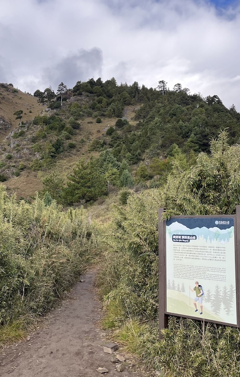
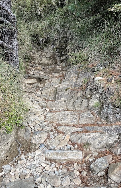
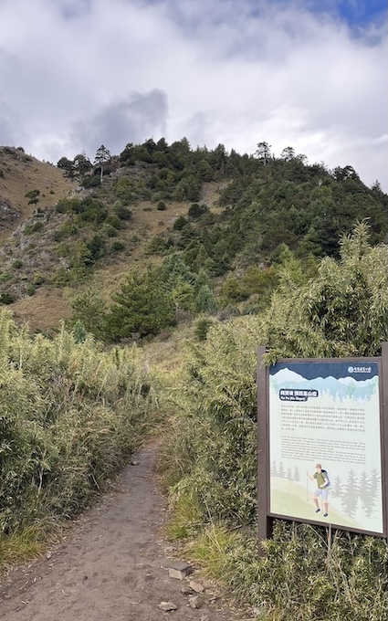
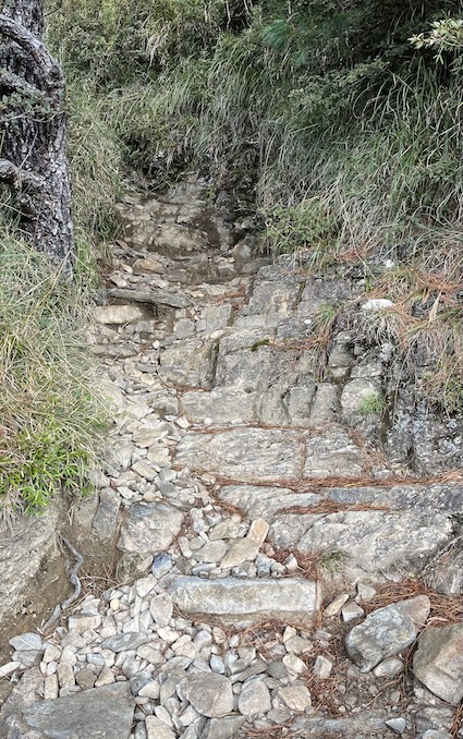
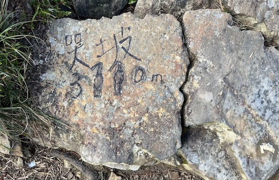
The most challenging section here is “Ku-Po” (Crying Slope / Slope of Pain) around the 4K mark.
- Ku-Po (哭坡):
A 400 m section gaining over 100 m in elevation. - Legend:
Legend has it that years ago, heavy-laden student hikers would arrive here already exhausted.
Upon looking up at this wall of rock, they would literally burst into tears — hence the name! - Reality:
Steep but manageable — take it slow and pace yourself.
East Peak to 369 Cabin (5K – 7.1K)
One of the most enjoyable and scenic sections.
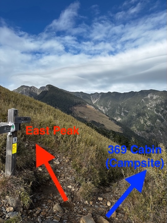
- At the 5K mark, you will reach the fork for Xueshan East Peak. You have two options here:
- Option 1 (Drop Packs): Leave heavy gear at the fork, hike to the summit without your pack (just a 1-minute walk), and return. (round-trip)
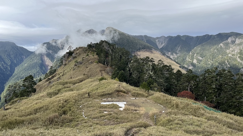
- Option 2 (Carry Over): Carry full gear up and descend via the Helipad path to rejoin the main trail.
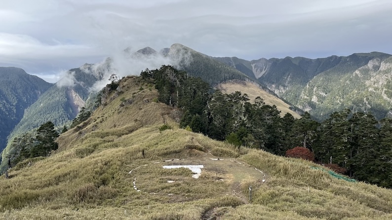
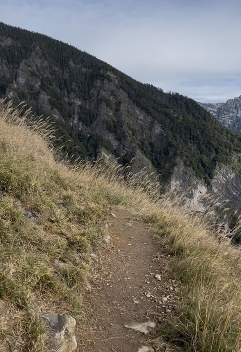
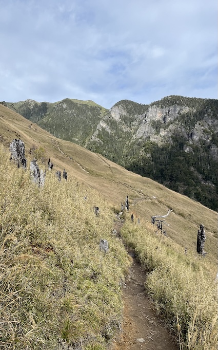
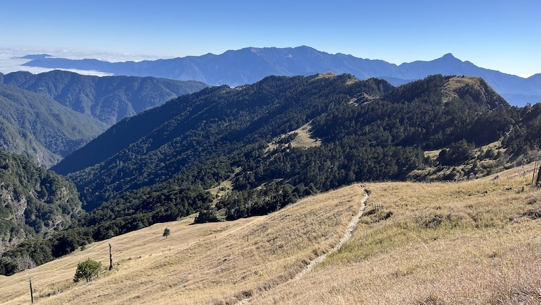
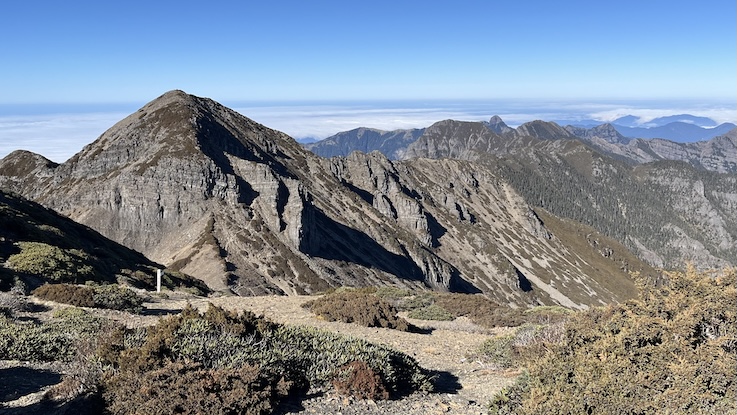
- Once you descend from the East Peak, you enter one of the most enjoyable sections. The path is relatively flat, offering expansive views of the Holy Ridge.
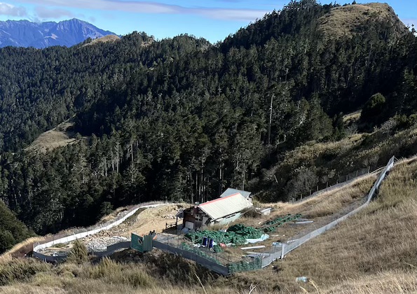
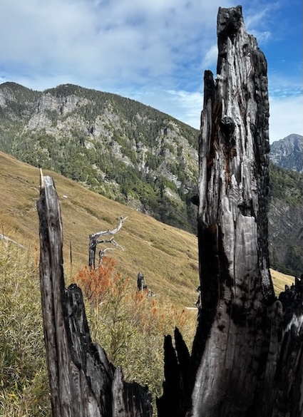
- Photo Op: The path flattens after the peak, offering iconic views of the Holy Ridge and the white 369 Cabin (currently under reconstruction).
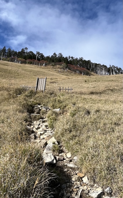
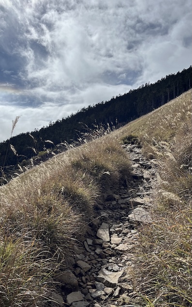
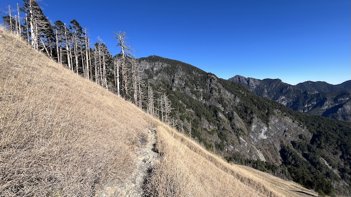
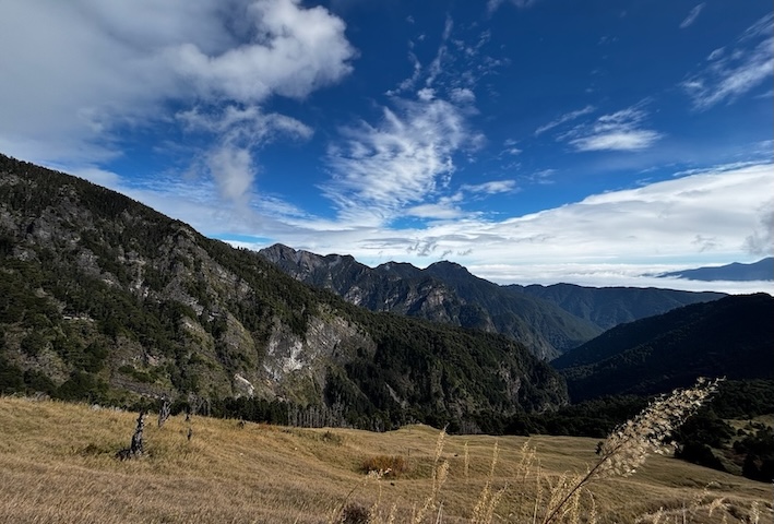
369 Cabin to Glacial Cirque (7.1K – 9.8K)
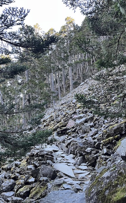
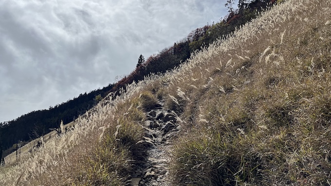
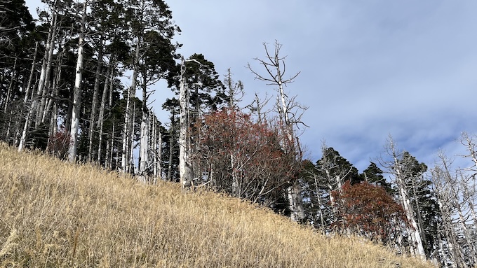
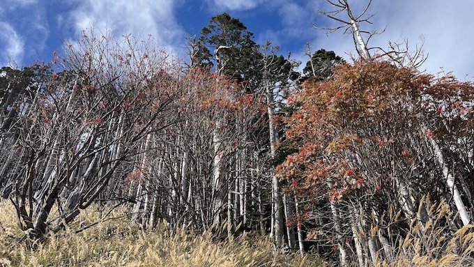
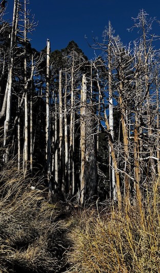
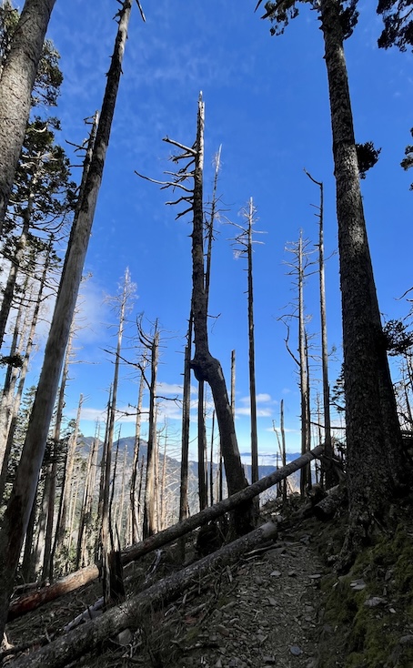
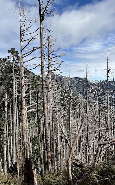
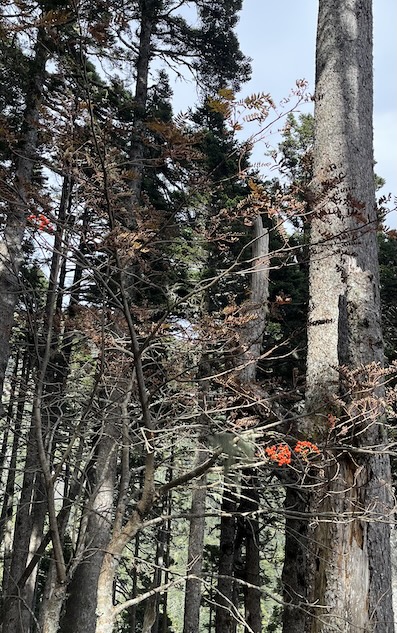
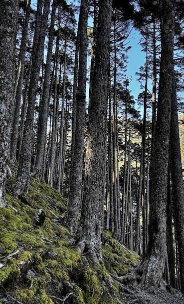
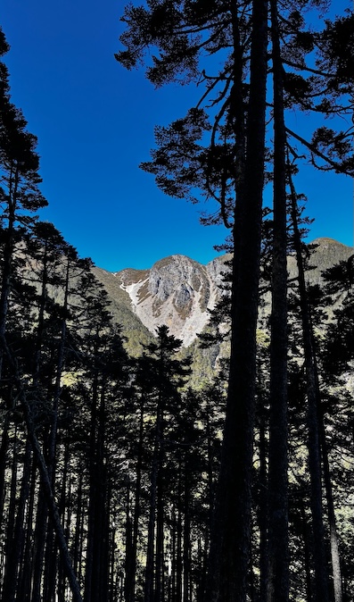
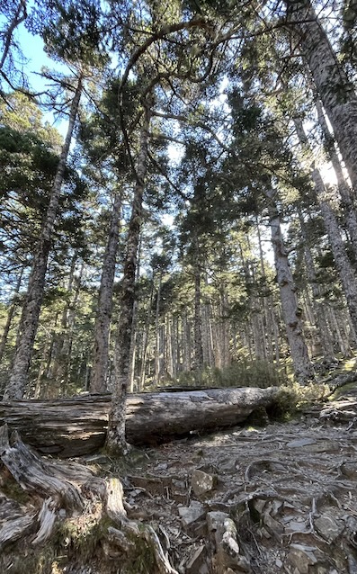
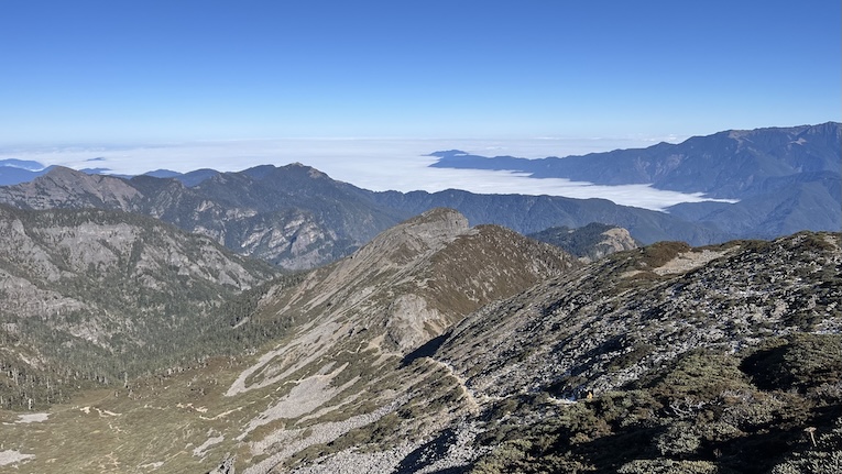
Leaving the cabin, you’ll immediately zigzag up grassy slopes before entering the Black Forest (黑森林). After exiting the forest, you’ll arrive at the bottom of the Glacial Cirque.
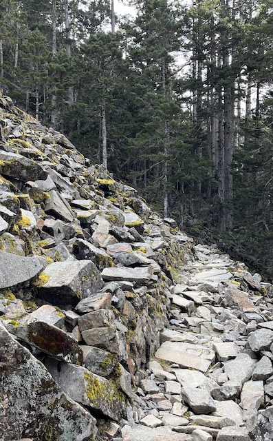
- ⚠️ Safety Alert (8.6K): Boulder Field. You will cross a slope of large boulders (locally called “Stone Waterfall”).. It is not technical, but verify your footing as rocks can be slippery.
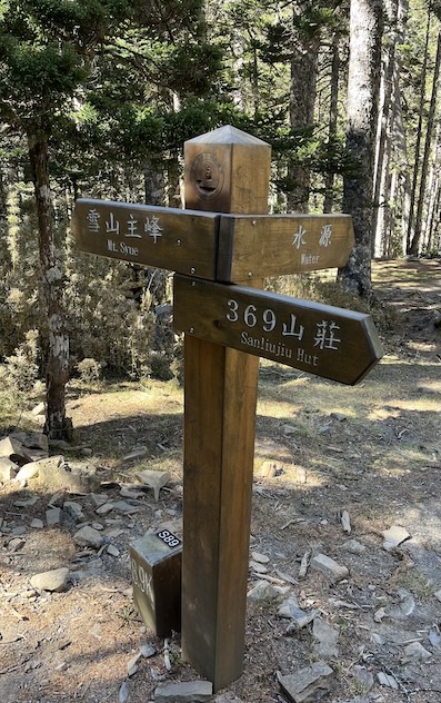
- 💧 Water Source (8.8K): A blue water tank collecting natural spring water from the rock face. This is generally reliable, but filtering or boiling is recommended.
- 🧭 Navigation: The forest can be disorienting in thick fog. Follow the distance posts or the reflective markers on the trees closely.
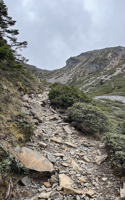
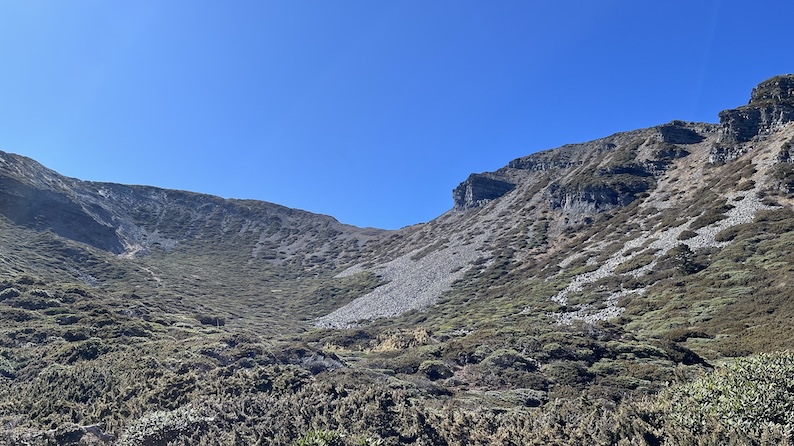
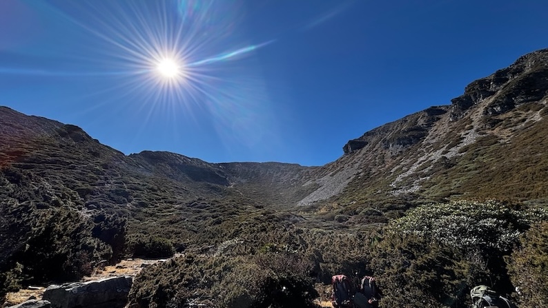
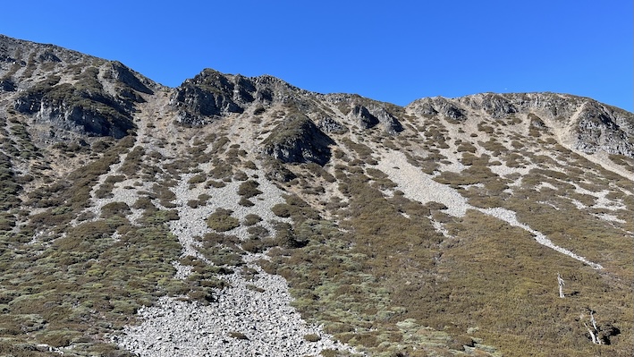
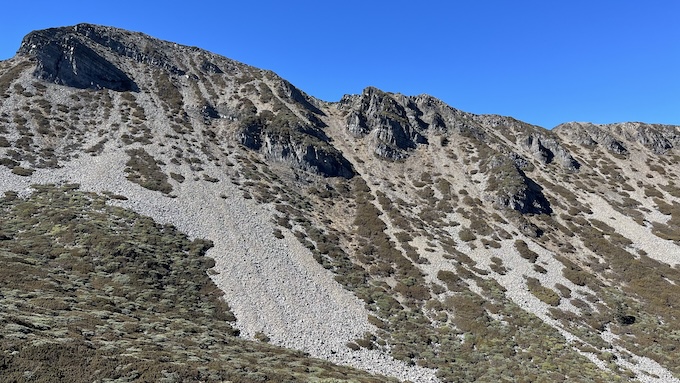
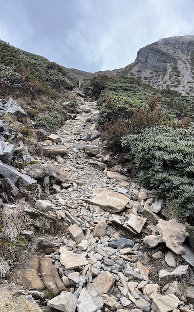
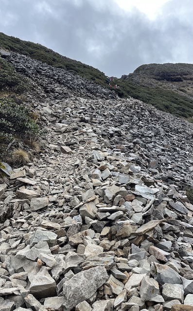
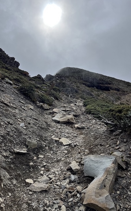
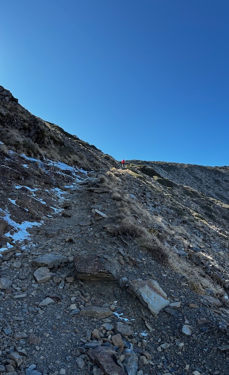
Glacial Cirque to Main Peak (9.8K – 10.9K)
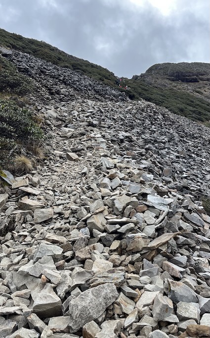
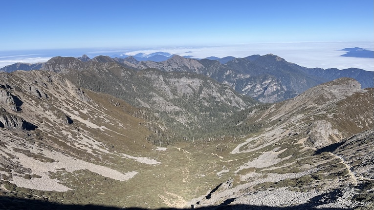
Emerging from the forest, the massive Glacial Cirque No. 1 opens up before you.
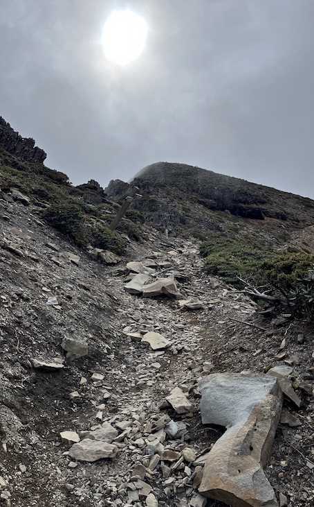
The final kilometer is a steady climb along the rim of the cirque, navigating a mix of loose scree and rocky terrain.
- Flora: In May–June, the slopes are covered in blooming Jade Mountain Rhododendrons.
- Summit: The wind can sometimes be fierce at the top (3,886m). Do bring your windbreaker.
Mountain Hut & Campsite
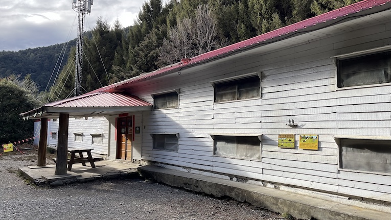
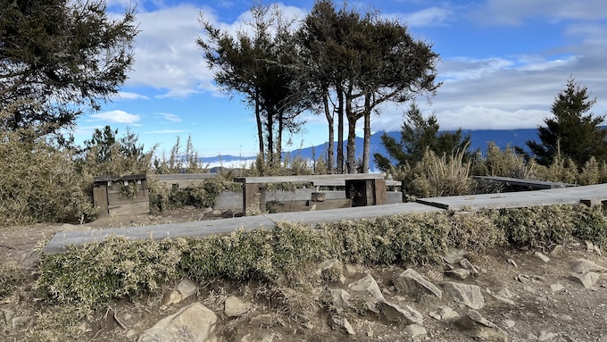
There are two main accommodation stops on this route: Qika Cabin and 369 Cabin. Please note that 369 Cabin is currently under reconstruction, so only the temporary campsite is available there.
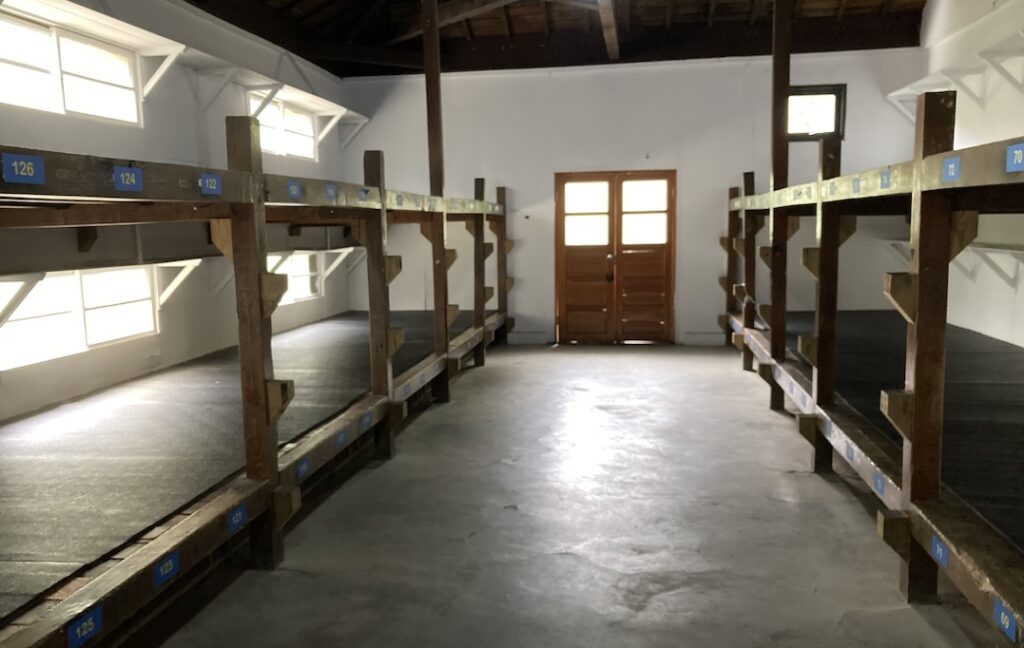
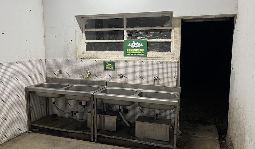
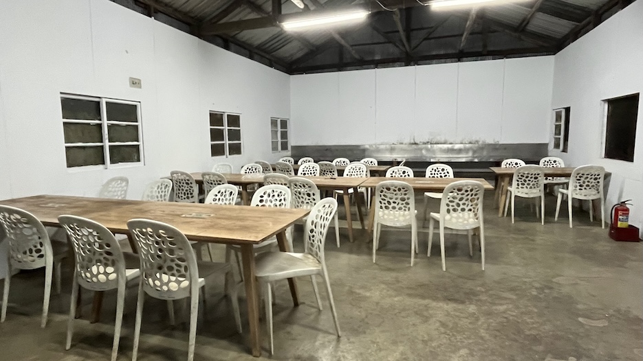
1. Qika Cabin & Campsite (七卡山莊/營地)
- Elevation: 2,500m (2K mark).
- Capacity: 106 bunks (Cabin) / 30 pax (Campsite outside).
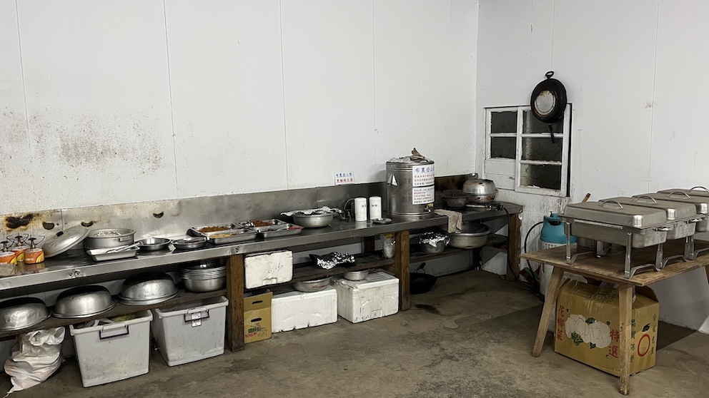
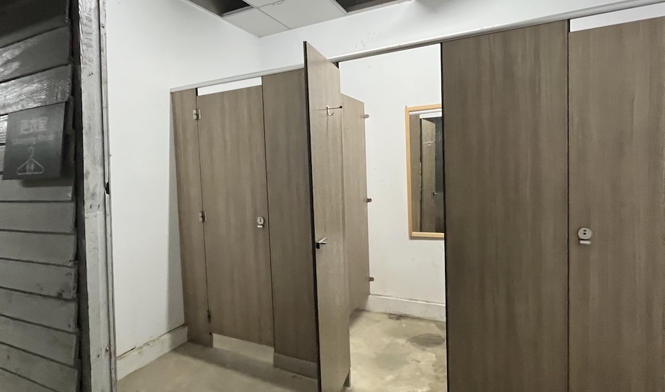
- Facilities: Flush toilets, changing room, large kitchen hall with tables.
- Water: Reliable tap water.

2. 369 Temporary Camp (三六九臨時營地)
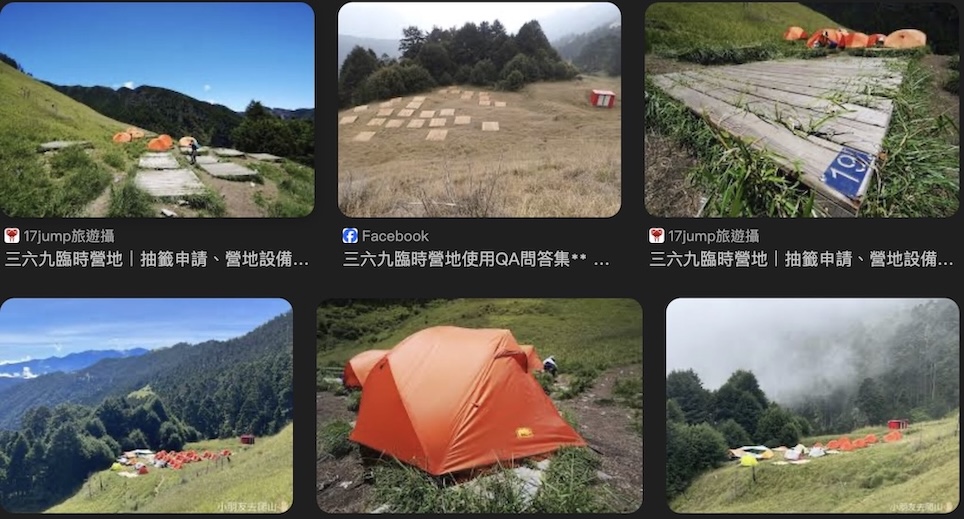
- Elevation: 3,200m (7.1K mark).
- Status: The cabin is CLOSED for reconstruction until Sept 2026.
- Capacity: 24 Campsites (Wooden platforms: 210×210 cm, fits 2-person tents).
- Facilities: Pit toilets.
- Water: Rainwater tanks (Check status before hiking).
Meals & Gear Rental
Since the cabins and campsites do not provide meals or gear rentals by default. You must bring your own gear and food, or pre-order through the local outfitter Bunun Climbers (布農登山隊) to save weight, rates as follows (2025 Ref.):
- Qika Cabin / Campsite
- Dinner + Breakfast + Sleeping bag: NT$700
- Dinner + Breakfast: NT$600
- Tent rental: NT$600
- 369 Campsite (currently campsite only; cabin under renovation)
- Full Package (Dinner + Breakfast + Sleeping bag + Tent): NT$1,600
- Note: At 369, meals, sleeping bags, and tents are usually sold as a bundle and cannot be booked separately.
GPX Track Download
- Recorded on: November 20, 2025.
- Download GPX track (waypoints included): Google Drive | AllTrails.
☕ Found this guide helpful?
Unlocking Taiwan is an independent project sharing Taiwan’s hiking trails, wild hot springs, and hidden cultural gems in English.
Creating detailed guides like this takes many hours of research, hiking, and writing. If this guide helped you plan your Xueshan hike, consider supporting the project with a small coffee.
Your support helps keep the blog running and more free guides coming.
Support Unlocking Taiwan → Buy Me a Coffee
Suggested Itineraries
3 Days / 2 Nights (Recommended)
This pace allows for better acclimatization and a more enjoyable experience.
Option A — Stay at Qika Cabin (Day 1) + 369 Cabin (Day 2)
- Day 1: Trailhead → Qika Cabin
- Day 2: Qika Cabin → East Peak → 369 Temp. Campsite → Main Peak → 369 Campsite
- Day 3: 369 Temp. Campsite → East Peak → Qika Cabin → Trailhead
Option B — Spend 2 nights at 369 Temp. Campsite
- Day 1: Trailhead → Qika Cabin → East Peak → 369 Temp. Campsite
- Day 2: 369 Temp. Campsite → Main Peak → return to 369 Campsite
- Day 3: 369 Temp. Campsite → East Peak → Qika Cabin → Trailhead
2 Days / 1 Night
- Day 1: Trailhead → Qika Cabin → East Peak → 369 Temp. Campsite
- Day 2: 369 Temp. Campsite → Main Peak → return to Trailhead
1 Day — Experienced Hikers Only
- ⚠️ Note: This requires exceptional fitness and an early start (approx. 2:00 AM). Not recommended for visitors unfamiliar with the terrain.
- Staying overnight at nearby accommodation is highly recommended.
Planning Strategy for Overseas Hikers
Planning Xueshan is not just about fitness — timing and logistics matter just as much. Here are several strategic considerations that many first-time overseas hikers overlook:
1️⃣ Secure Your Permit Early (Foreign Quota Advantage)
If you are not a Taiwan resident, use the foreigner quota system and apply up to 4 months in advance. Popular weekends can fill within minutes once applications open.
2️⃣ Avoid Taiwan National Holidays
Long weekends such as Lunar New Year or Mid-Autumn Festival dramatically increase competition for 369 Camp permits and transport availability.
3️⃣ Build a Transportation Buffer
Public buses to Wuling Farm run only once or twice per day. If you miss it, your entire itinerary may collapse. Consider arriving in Yilan one night earlier or using private transport if your schedule is tight.
4️⃣ Understand What “Beginner-Friendly” Really Means
Xueshan is often described as beginner-friendly among Taiwan’s 3,000m peaks — but that does not mean easy. The final ascent from the Glacial Cirque can feel demanding, especially at altitude. Plan your pacing conservatively.
5️⃣ Water Is Not Always Guaranteed
369 Camp relies on rainwater tanks. During dry seasons, availability may fluctuate. Always check recent trail updates before departure and carry sufficient backup capacity.
Where to Stay Before Hiking Xueshan
Most hikers choose to spend the night before the hike in either Yilan City (the transport hub) or near Wuling Farm (to acclimatize).
In Yilan City (Near Train & Bus Station)
Best for those taking the early morning bus (07:30) to Wuling Farm.
1. One Night Hostel (1919背包客棧)
- 📍 Location: Directly opposite Yilan Train Station. Approx. 12 min walk to the Bus Transfer Station. (Google Maps)
- ✨ Highlights: Electronic lockers in rooms. Dormitory rooms only. Good for solo travelers.
- 👉 Check Rates & Availability:
2. Central Woods Hostel 山啄木青年旅館)
- 📍 Location: Approx. 10 min walk to the Bus Transfer Station. (Google Maps)
- ✨ Highlights: Offers bike rentals and free coffee. Options include mixed dorms and private double rooms. Stylish, renovated heritage building.
- 👉 Check Rates & Availability:
3. Hangkhau Hotel (行口文旅)
- 📍 Location: Opposite Yilan Train Station. Approx. 12 min walk to the Bus Transfer Station. (Google Maps)
- ✨ Highlights: A comprehensive hotel/hostel hybrid. Offers Double, Quad, Family (6 pax) rooms, and Dormitory bunks. Great for groups.
- 👉 Check Rates & Availability:
Near Wuling Farm (Budget / Hiker Friendly)
Private accommodations located just outside the farm entrance.
1. Convenient House (方便屋)
A basic, budget-friendly hostel catering specifically to hikers. It is located very close to the Nanhu Mountain trailhead.
💰 Price: NT$500 / person (2025 Ref., Cash Only).
📍 Location: Google Maps.
✨ Highlights:
- Breakfast Included: DIY steamed buns (meat or veggie) + Soy milk.
- Amenities: Refrigerator, water dispenser available.
- Facilities: Basic shared bathroom (tin structure). Soap/shampoo provided, but bring your own towel.
- Showers: Available for non-guests after hiking (NT$100).
⚠️ Note:
- Booking: No website. Phone booking only (+886-980-621948 / +886-912-889498). Requires Chinese communication.
- Vibe: Very basic. Check Google Reviews for photos before booking.
2. Wuling Hostel (武陵客棧)
A local guesthouse option nearby.
💰 Price (2026 February Ref.):
- Accommodation
- Dorm-style bunk bed: NT$600 per person
- Private double room (with ensuite bathroom): NT$2,200 per room
- Xueshan Trailhead Shuttle (One-way, 2026 February Ref.)
- 8-seater van: NT$1,000 per trip
(Price is per vehicle, not per person — solo hikers still pay NT$1,000; split among multiple hikers if sharing.)
- 8-seater van: NT$1,000 per trip
📍Location: Google Maps.
🌐 Website: Facebook Page.
⚠️ Note:
- How to book:
- Facebook Messenger
- WhatsApp (Ask the host for their WhatsApp contact via FB)
- Prices vary by season. Please check directly with the host.
Inside Wuling Farm (Official Accommodation)
Located inside the park. Most convenient but often fully booked.
1. National Guest Hostel (武陵國民賓館)
The main hotel facility inside the farm. Offers standard hotel rooms (Double/Quad) and cabins.
- Best for: Public transport travelers (convenient access to main bus stop & farm shuttle) and those seeking hotel comfort.
- Booking Website: https://whotel.wuling-farm.com.tw/whotel/ (Chinese only)
2. Wuling Farm Camping Area (露營區)
Offers tent sites, campervan spots, and small wooden cabins.
- Best for: Budget travelers and nature lovers.
- Website: https://camping.wuling-farm.com.tw/camp/mobile/index.php (Chinese only)
3. Wuling Village (武陵山莊)
Located closest to the Taoshan trailhead.
- ⚠️ Status: CURRENTLY CLOSED for renovation (Not accepting bookings).
- Best for: Self-driving travelers. (Note: It is located far from the public bus stop, making it inconvenient for hikers without a car).
- Note: We will update this section once they reopen.
Useful Resources
Weather Forecast
Trail & Water Condition Updates
Trail and water conditions on Xueshan can change quickly, especially after typhoons, prolonged drought, or maintenance work.
Most recent updates are typically discussed in local Chinese-language hiking communities and on the official Shei-Pa National Park channels. These discussions often contain valuable first-hand reports — but they are rarely summarized in English.
Examples of where updates may appear:
- 登山借問站 (Taiwan Hiking Q&A Station)
- 登山通報站 (Taiwan Hiker Reporting Station)
- 雪霸國家公園登山資訊分享站 (Shei-Pa NP Trail Info Group)
Things to Know Before You Go
- Quota is Key: This trail is extremely popular, especially the 369 Cabin/Campsite, which is often fully booked within minutes once the reservation system opens.
👉 Foreign hikers are strongly advised to use the “foreign quota” and apply 4 months in advance to secure a spot. (See more details here) - Verification: Qika Cabin has on-site park staff who check permits and IDs daily. Remember to bring your passport or ARC for verification.
- Post-hike Shower: You can shower at Wuling Farm Campground after the hike (NT$50, credit cards accepted). Bring your own toiletries and towel — hair dryers are available on-site.
- Navigation Tip: The trail is well-marked with distance posts every 100 meters. If you haven’t seen a marker for a while, stop and check your offline map (GPX) immediately to ensure you haven’t strayed off the path.
Photo Gallery/Video
Trailhead to Qika Cabin
Qika Cabin to East Peak
East Peak to 369 Cabin
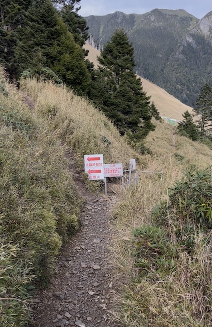
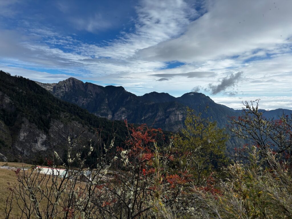
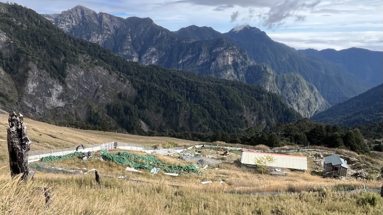
Walk down if you’re staying here or need the restroom or water.
369 Cabin to Glacial Cirque
Glacial Cirque to Main Peak
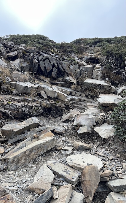
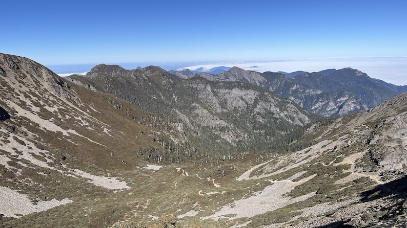
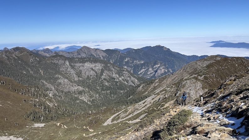
(This photo was taken in late December, when there was still snow on the trail.)
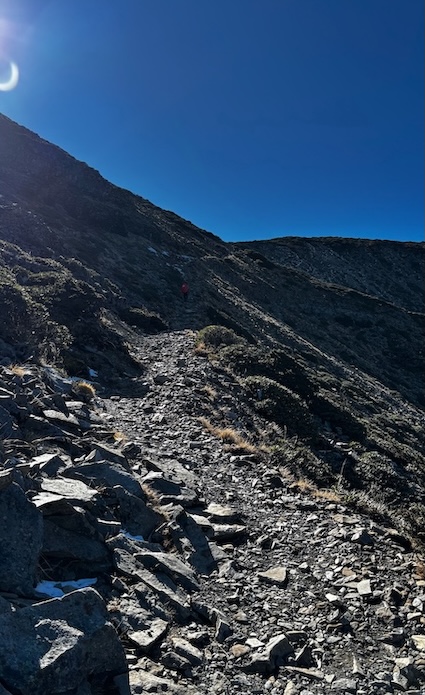
The Xuezhi Route (from Xueshan to Zhijiayang) is another classic trail.
☕ Found this guide helpful?
Unlocking Taiwan is an independent project sharing Taiwan’s hiking trails, wild hot springs, and hidden cultural gems in English.
Creating detailed guides like this takes many hours of research, hiking, and writing. If this guide helped you plan your Xueshan hike, consider supporting the project with a small coffee.
Your support helps keep the blog running and more free guides coming.
Support Unlocking Taiwan → Buy Me a Coffee