From Forgotten Shrine to Skywatching Deck: A Sunset Walk Above Taipei

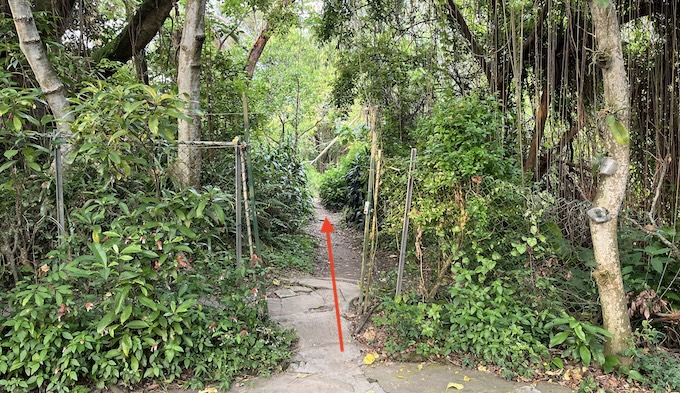
Jiantan Mountain Trail has several trailheads, but this guide focuses on a special one: the Yuanshan Water Shrine Trailhead — just a 3-minute walk from MRT Jiantan Station.
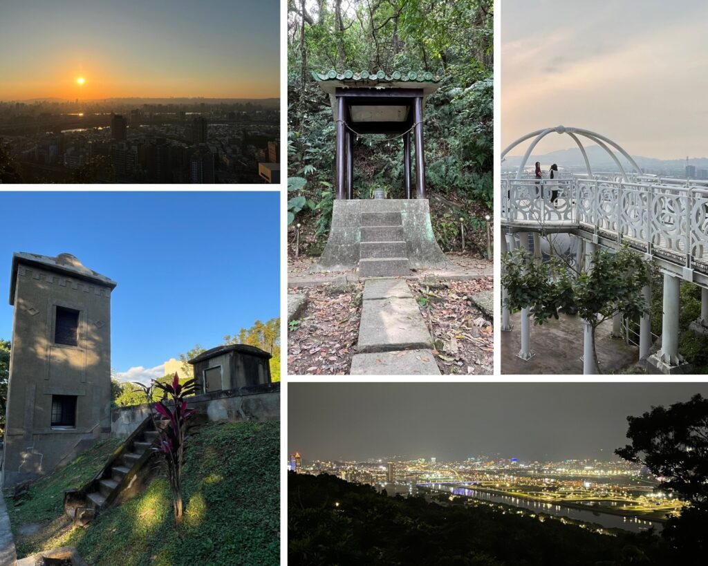
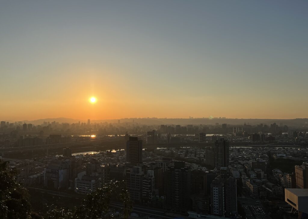
This short hike blends Japanese-era ruins with panoramic city views, making it a perfect spot for a sunset stroll, golden hour photos, or a peaceful evening hike under city lights.
Overview
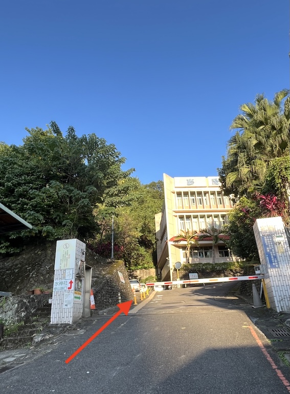
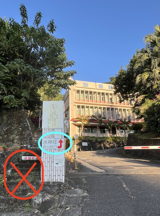
This lesser-known trail is part of the Jiantan Mountain trail system, but it begins at a quiet, tucked-away entrance — the Yuanshan Water Shrine Trailhead, hidden behind the Taipei Water Department’s Yangming Branch.
It’s a short and beginner-friendly urban hike featuring a blend of Japanese-era ruins, peaceful forest paths, and two scenic viewpoints — Breeze Platform and North Eye Platform — both offering sweeping views over the Taipei Basin.
From there, you can extend your walk by connecting to other Jiantan Mountain trails leading to the Laodifang Lookout (老地方觀機平台), one of the best spots in Taipei for sunset views and low-flying planes.
Why Choose This Trail?
- Beginner-friendly: Easy terrain suitable for all fitness levels
- Highly accessible: 3-minute walk from MRT Jiantan station
- Multi-layered experience: Historical ruins, nature, and skyline views
- Best at golden hour: Ideal for sunset and evening photography
- Plane-spotting highlight: Close-up views of aircraft at Songshan Airport
*Note: “Laodifang (老地方)” means “old place” in Chinese. You may also see it translated as Usual Place on the trail signs and maps.
Trail Highlights
Here are the must-see stops along the Yuanshan Water Shrine to Laodifang Lookout trail:
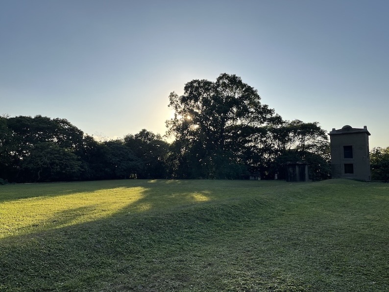
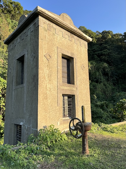
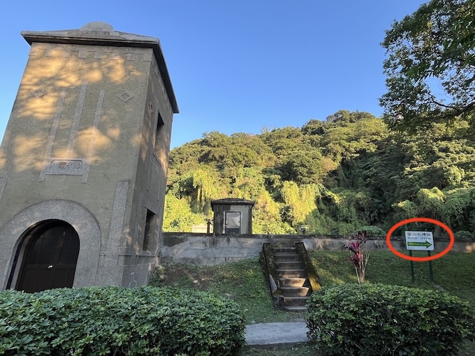
- Yuanshan Reservoir (圓山貯水池)
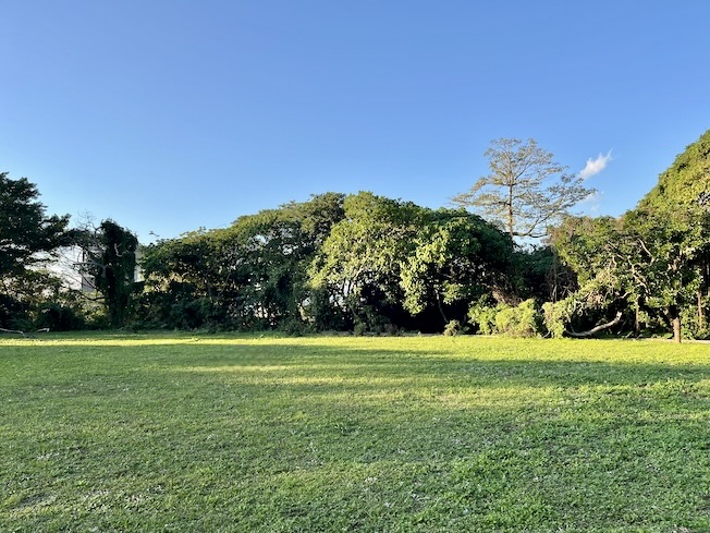
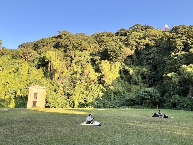
- Located next to the Yuanshan Water Shrine, with a quiet grassy area nearby that’s perfect for a short break or enjoying the sun.
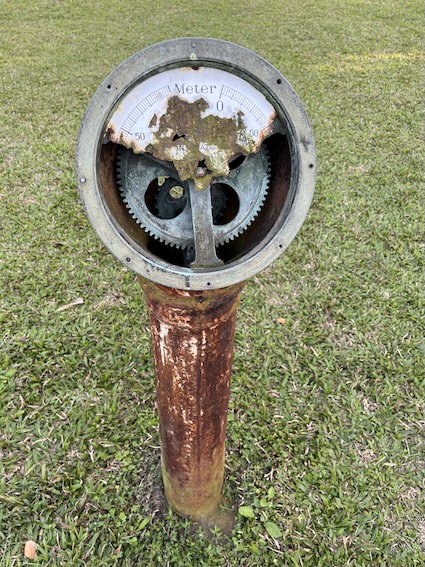
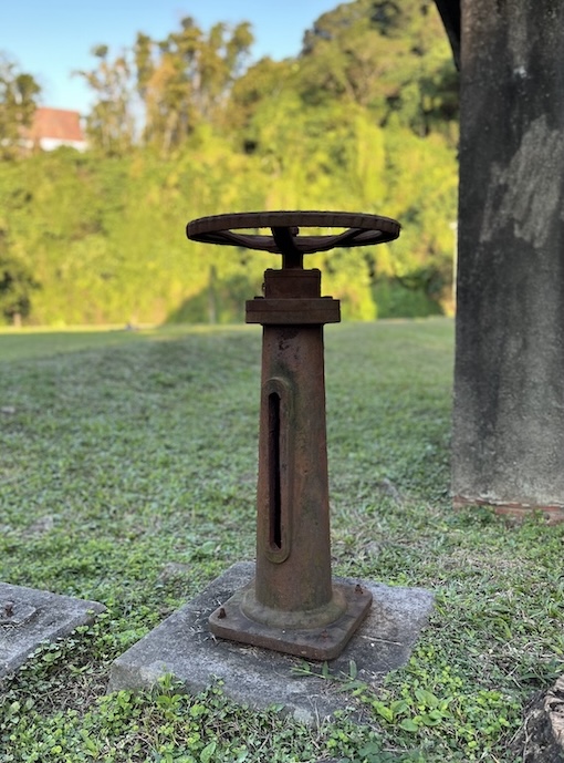
- An important water storage site during the Japanese era, now decommissioned.
- Adds a historic and serene touch to the trail’s early section.
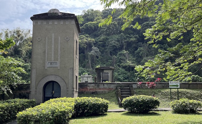
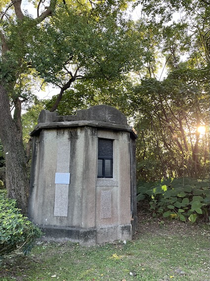
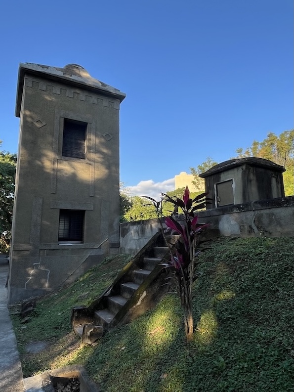
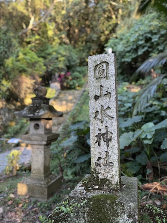
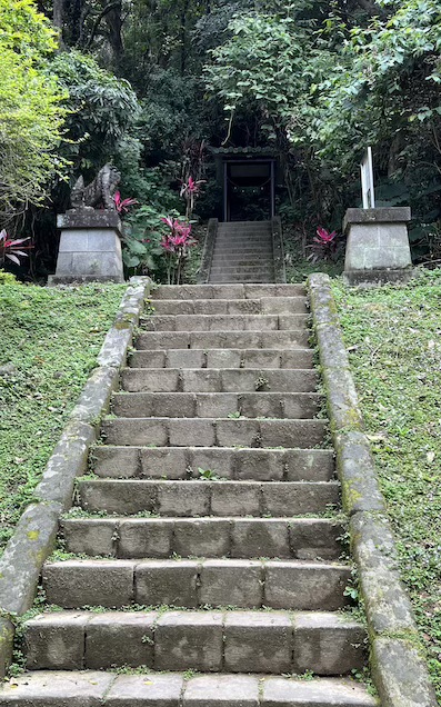
- Yuanshan Water Shrine (圓山水神社)
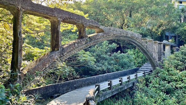
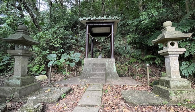
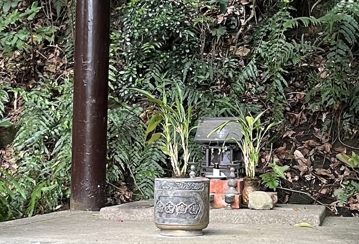
- A Japanese-era shrine built during the Showa period to honor workers who died while constructing the Grass Mountain Waterway.
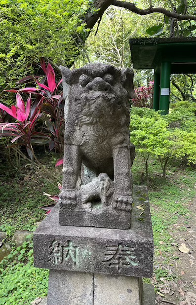
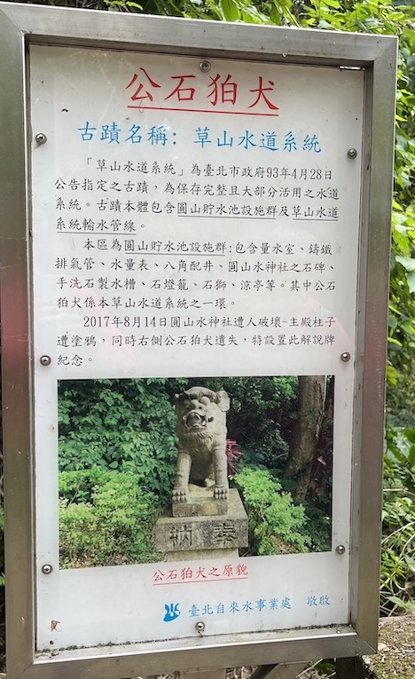
- Several well-preserved features remain, including the main hall, stone lanterns, handwashing basin, shrine guardian dogs (komainu), and name monument.
- Quiet and atmospheric—rarely visited compared to other stops on the trail.
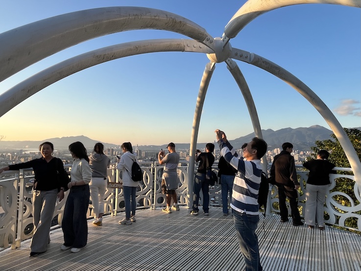
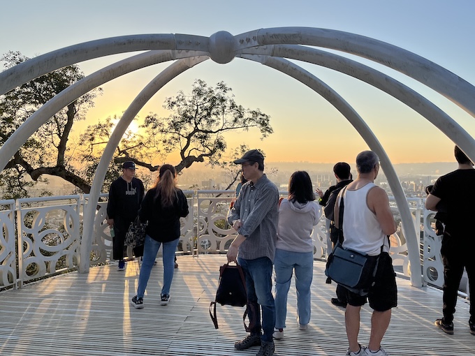
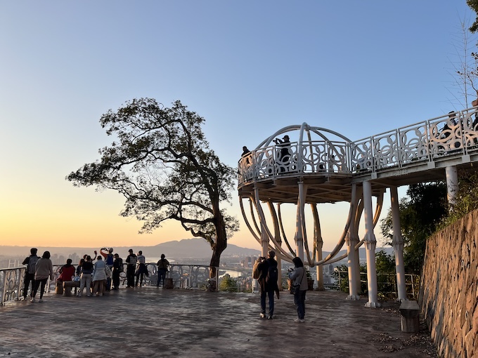
- Breeze Platform (微風平台)
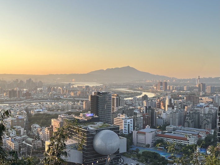
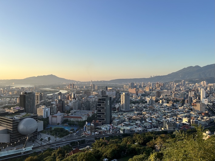
- A two-level open-air viewing platform with panoramic views over the Taipei Basin.
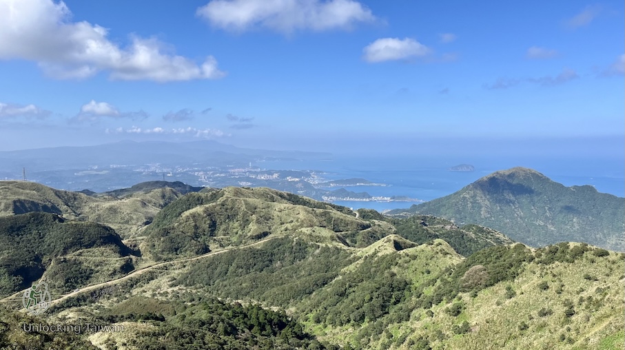
- Overlooks the Tamsui River, Keelung River, and Guanyin Mountain.
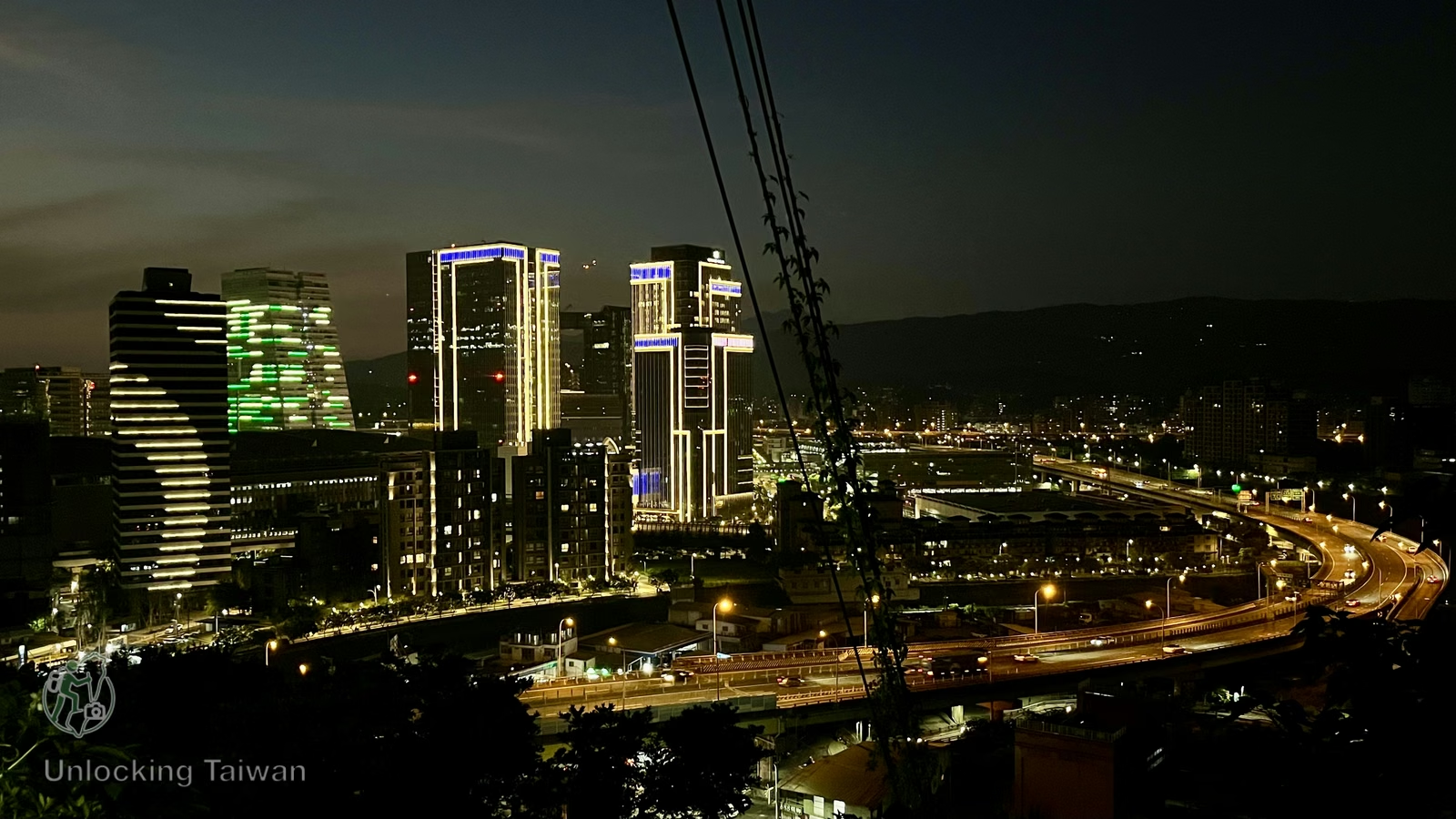
- Popular spot for watching sunsets and city lights in the distance.
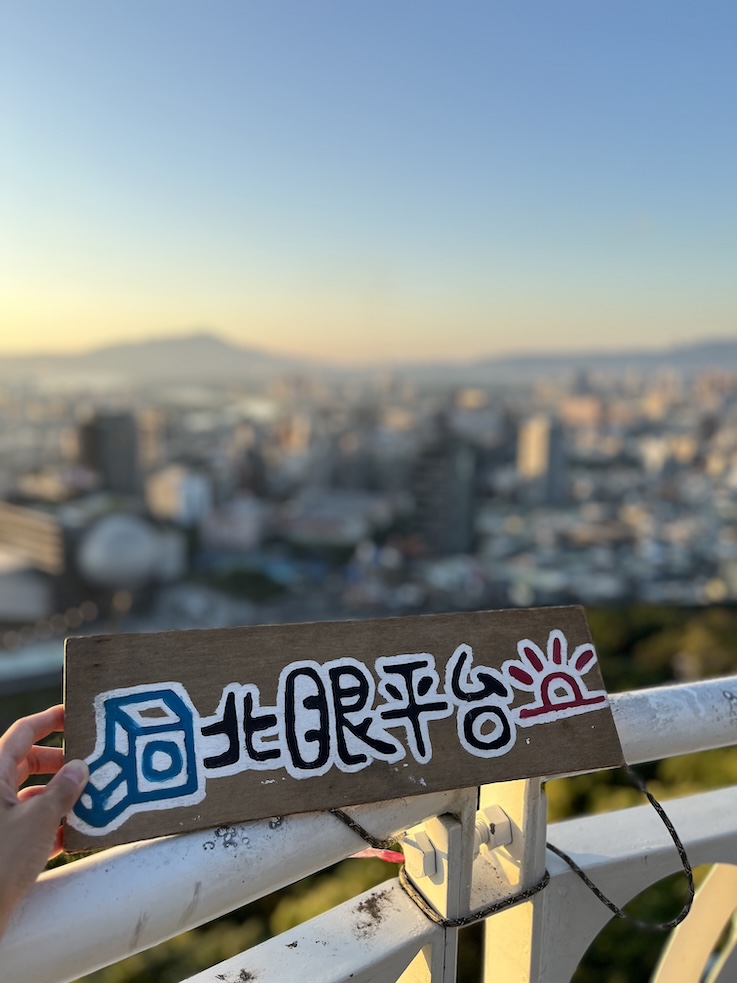
- North Eye Platform (北眼平台)
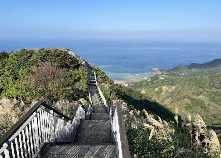
- A futuristic white spherical deck that juts out like a runway.
- A popular Instagram photo spot with wide-angle city views.
- Great for catching golden hour and Taipei’s urban skyline at dusk.
- Laodifang Lookout (老地方觀機平台)
- A must-see plane-spotting platform with clear views of planes landing at Taipei Songshan Airport.
- Close-up view of aircraft flying directly overhead—especially dramatic during takeoff and landing.
- Best visited around sunset or after dark when the city lights glow.
How to Get There
Trailhead Location
- Taipei Water Department Yangming Branch (臺北自來水事業處陽明分處) | Google Maps
- The trailhead is located inside the branch office compound.
By Public Transport
- MRT: Take the Red Line to Jiantan Station (Exit 3), then walk about 3 minutes to the trail entrance inside the Taipei Water Department Yangming Branch.
- Bus: Routes 109, 203, 218, 260, 267, 277, 279, 280, 308, 310, 556, 606, 612, 646, 685, 902, 1717, Zhongshan Metro Bus (中山幹線), or Dunhua Metro Bus (敦化幹線) stoo at Jiantan station. The trailhead is just near the bus stop.
By Car/Scooter
- Navigation: Taipei Water Department Yangming Branch (臺北自來水事業處陽明分處) | Google Maps
- Parking: Paid parking lots and roadside spots are available nearby.
Hiking Information
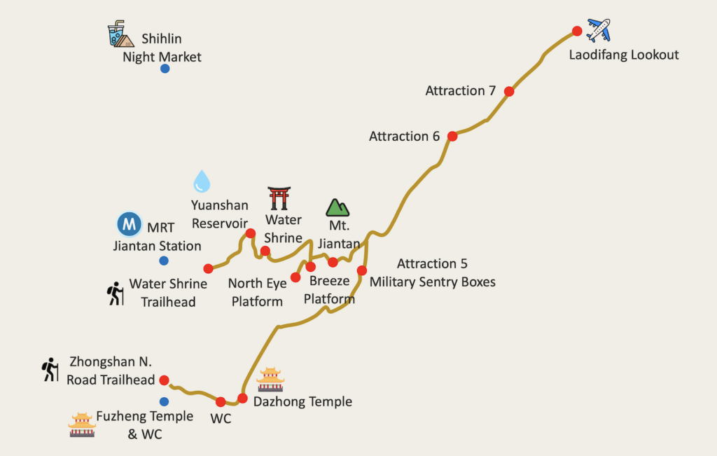
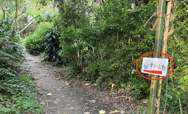
- Route: Yuanshan Water Shrine Trailhead → Yuanshan Reservoir → Water Shrine → Abandoned Tianxiang Villa → Breeze Platform (微風平台) → North Eye Platform (北眼平台) → Jiantan Mountain (劍潭山) → Attraction 7 (七美) → Laodifang Lookout (老地方觀機平台) → Attraction 5 Military Sentry Boxes (五美崗哨體驗區) → Dazhong Temple (大忠宮) → Zhongshan North Road Trailhead
- Distance: Approximately 3.85 km (2.4 miles)
- Difficulty: Easy
- Permit: No
- Suggested Time: 2 ~ 3 hours
- My Time Log:
- 16:40 Yuanshan Trailhead
- 16:43 Reservoir
- 16:46 Water Shrine
- 16:52 Abandoned Villa
- 16:55 Breeze Platform
- 16:58 North Eye Platform
- 17:11 Jiantan Mountain
- 17:35 Laodifang Lookout (80 min rest)
- 19:20 Attraction 5 Military Sentry Boxes
- 19:40 Dazhong Temple
- 19:45 Zhongshan North Road Section Trailhead
- Note: As a reference, I completed the Tokyo marathon in 6 hours. Your timing may vary based on fitness level and rest time.
GPX Track Download
- Recorded on: April 30, 2025.
- Download GPX track (English waypoints included): Google Drive | Alltrails.
Weather Forecast
- Central Weather Administration website: Jiantanshan.
- Breeze Platform live webcam.
Additional Tips
This route connects with the main Jiantan Mountain Trail and can be extended all the way to Laodifang Lookout, a popular sunset and plane-spotting spot.
For more information on toilet access, drinking water, mosquito protection, night view recommendation, photography tips, luggage storage and nearby attractions, check out: Jiantan Mountain Trail: A Short Urban Hike with City Views & Plane Spotting.
In Pictures & Videos
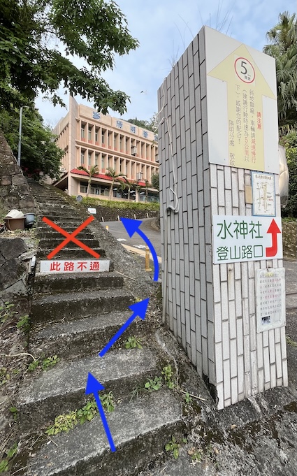
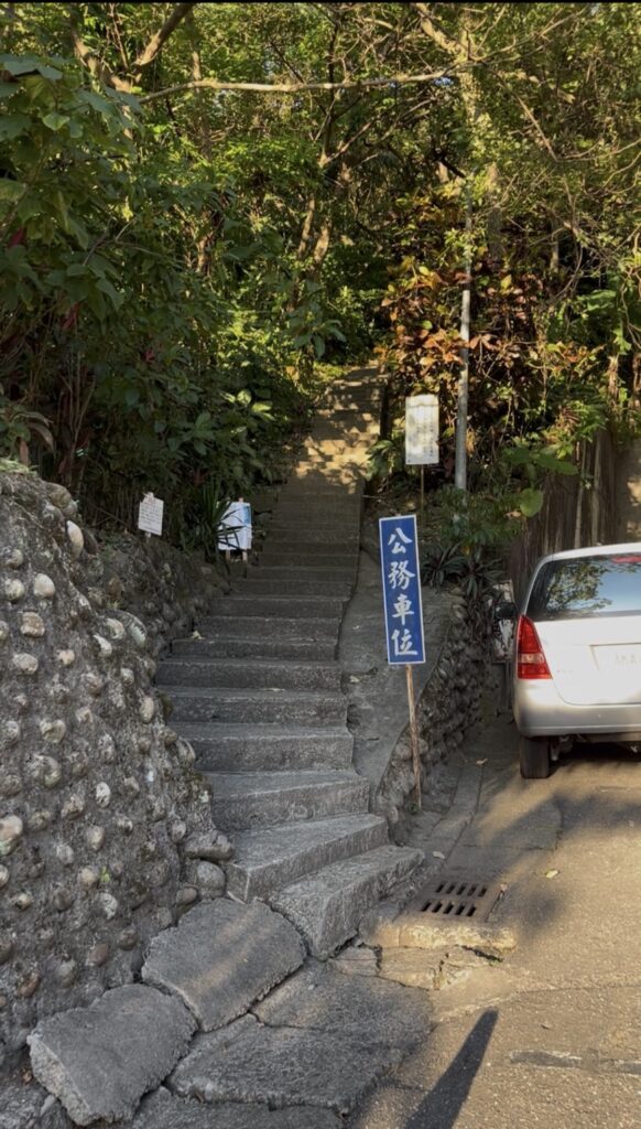
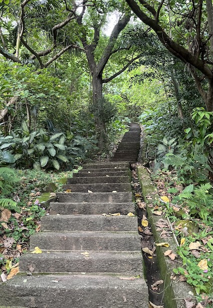
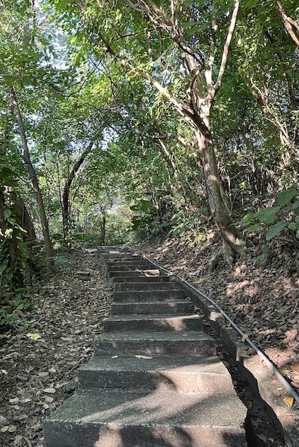
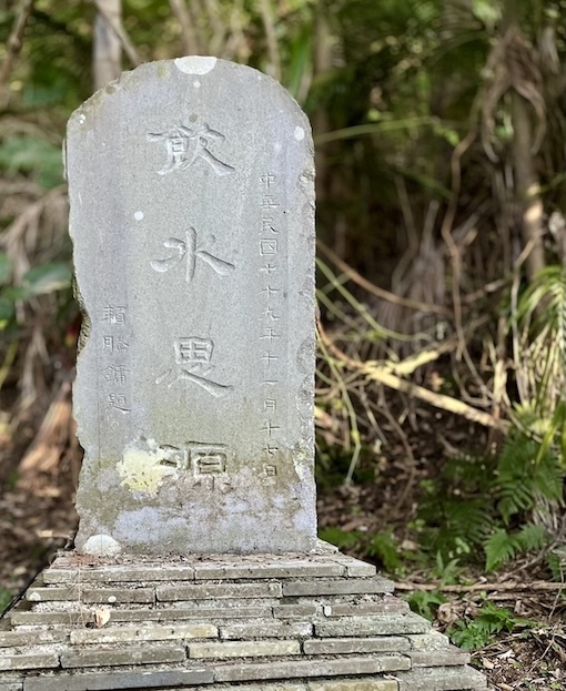
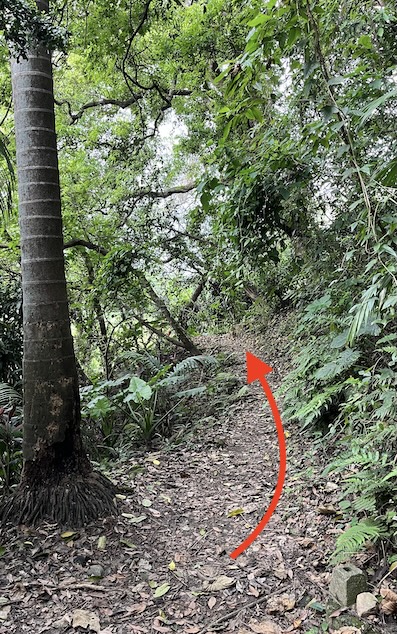
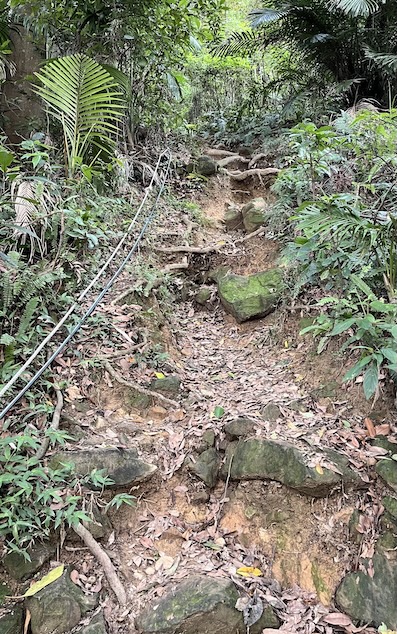
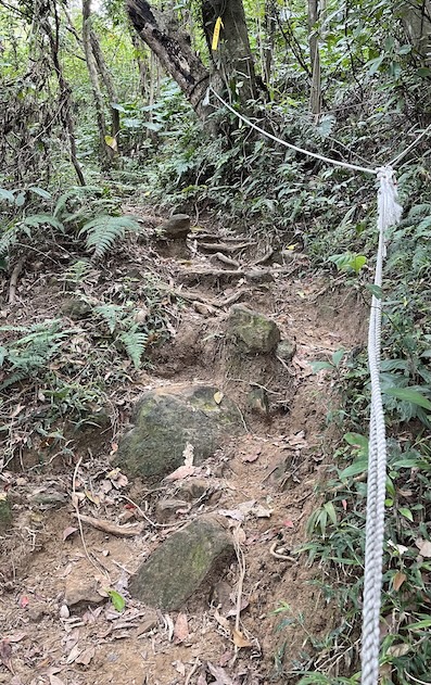
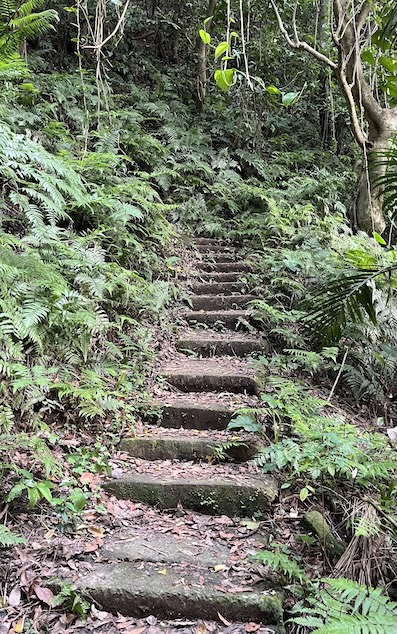

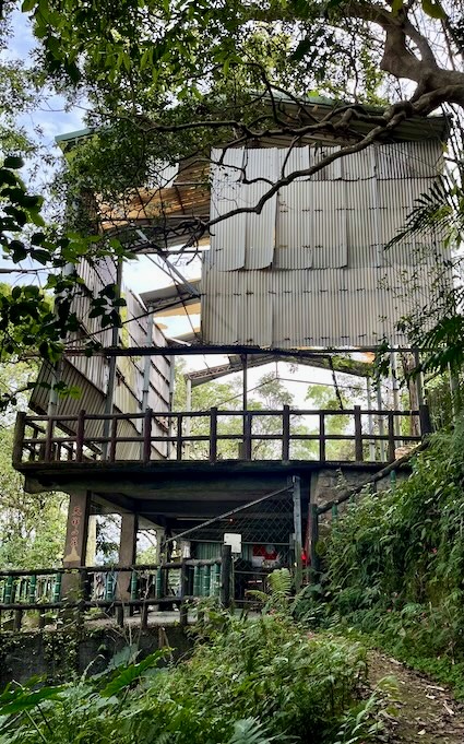
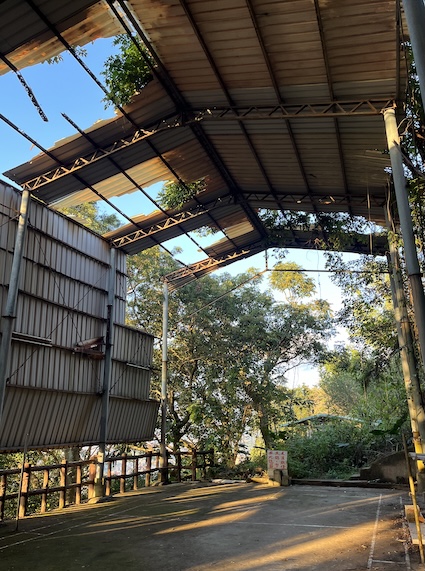
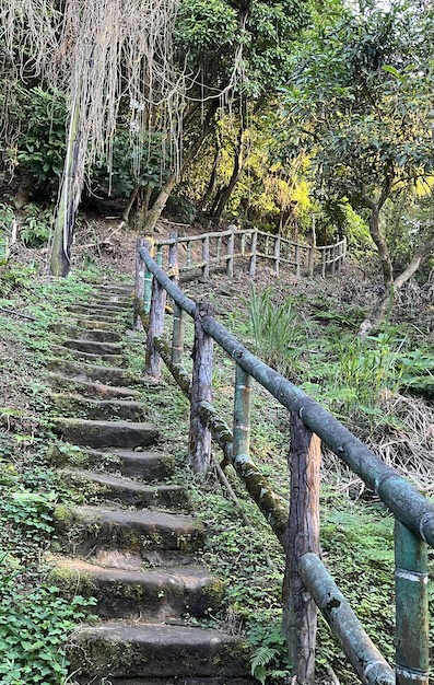
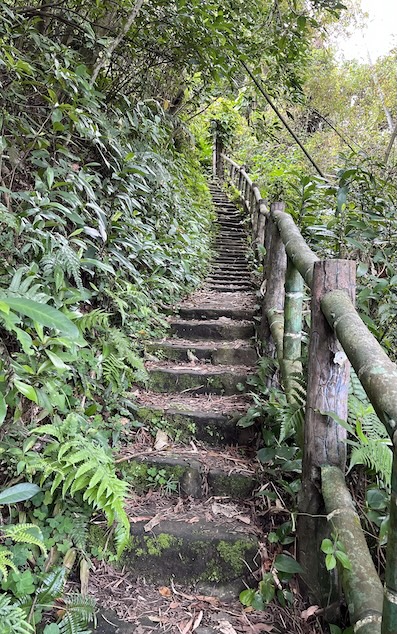
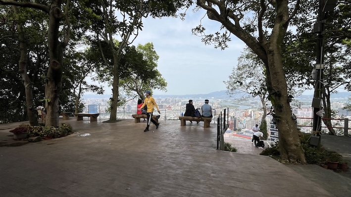
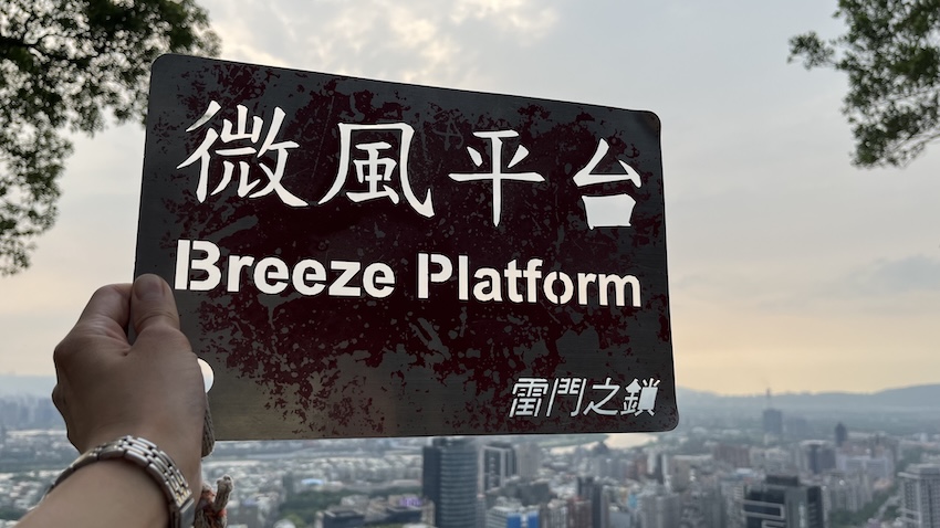

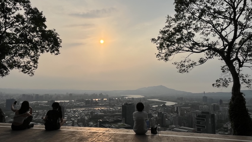
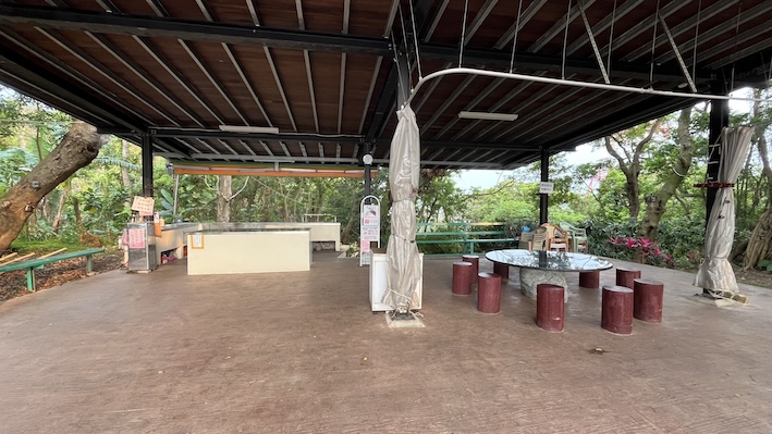
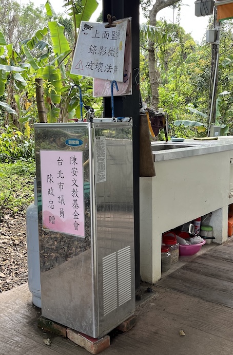
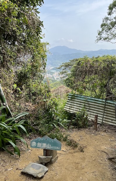
From Jiantan Mountain, you can connect to Attraction 7 and continue all the way to Laodifang Lookout.
For the trail conditions and photos beyond Jiantan Mountain, you can refer to my article Jiantan Mountain Trail: A Short Urban Hike with City Views & Plane Spotting.