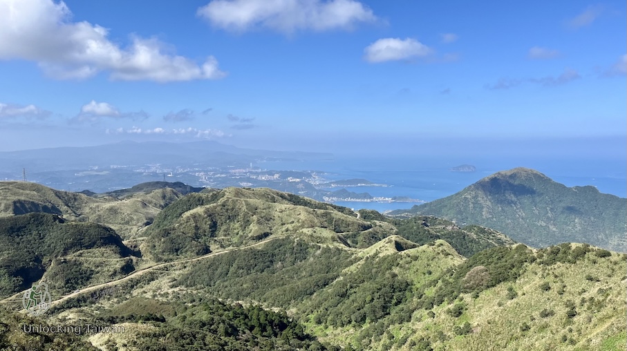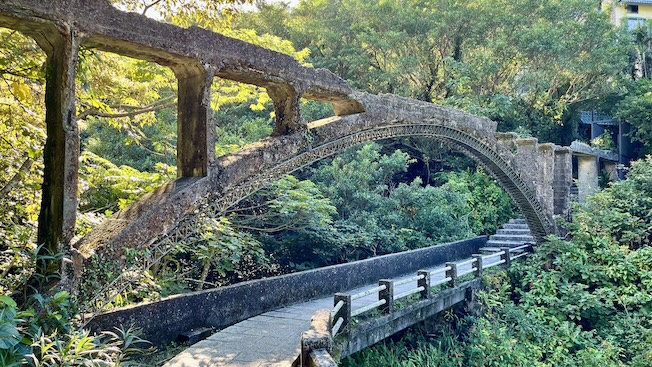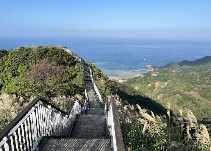
A short, beginner-friendly hike near Nangang Exhibition Center — perfect for quick escapes, sunset views, and even a lunch break walk.

Overview
Xiaonangang Mountain Trail (also known as Hengke Mountain) is one of the most accessible and beginner-friendly hiking trails in Taipei. Located on the border of Xizhi (汐止) and Nangang (南港), this low-elevation trail offers a quick summit, wide views of Taipei’s city skyline, and minimal physical demand — making it ideal for travelers who want a short outdoor experience without complex planning.
Unlike many hikes in Taiwan that require permits or long travel times, you can reach the summit in about 15 minutes and complete the hike in under an hour round trip. The trail is fully accessible by MRT and is also known among locals as a quiet spot for night views of Taipei.
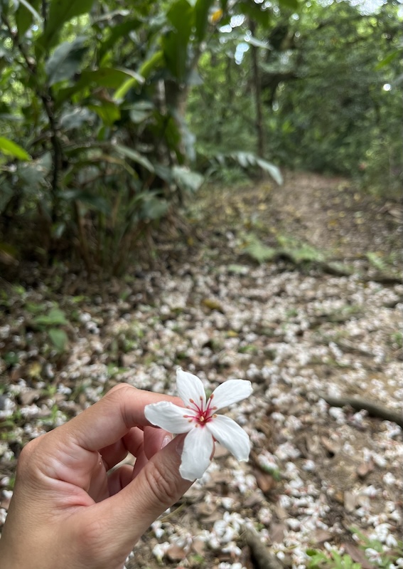
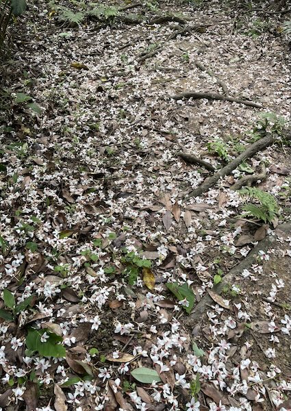
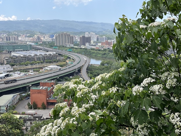
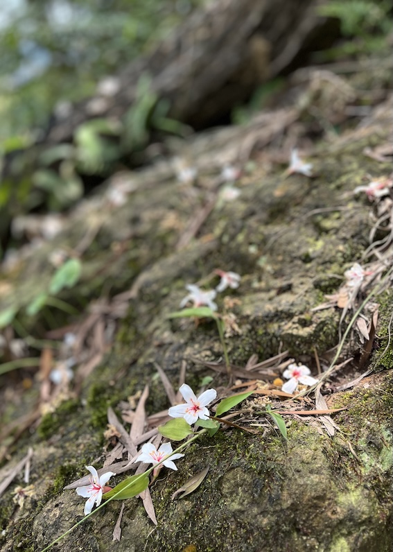
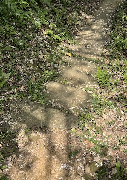
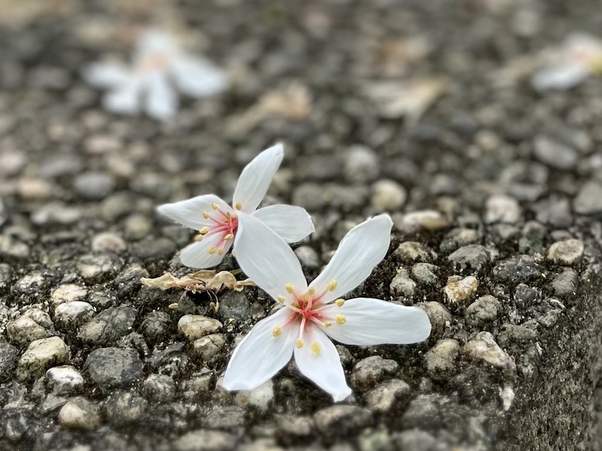
In spring (April–May), the trail is also a convenient place to see tung blossoms (oil tung flowers) without committing to a long hike.
This makes it one of the most convenient MRT-accessible hiking trails in Taipei — especially if you only have a short window of time but still want to experience hiking in the city.
Trail at a Glance
- Difficulty: Easy
- Distance: Approx. 2.1 km (point-to-point route)
- Duration: 1 – 1.5 Hours
- Permit Required: No
- Best Season: Year-round (April-May: Perfect for Tung blossoms (oil tung flowers))
Who Is This Trail For
This trail is best suited for:
- First-time hikers in Taiwan
- Travelers with limited time
- Families with children
- Couples looking for a sunset or night view spot
- Anyone wanting a low-effort outdoor break
- Business travelers staying near Nangang Exhibition Center, ideal for a short walk during lunch breaks
Not recommended for:
- Hikers seeking long-distance or physically challenging routes
- Those expecting remote wilderness environments
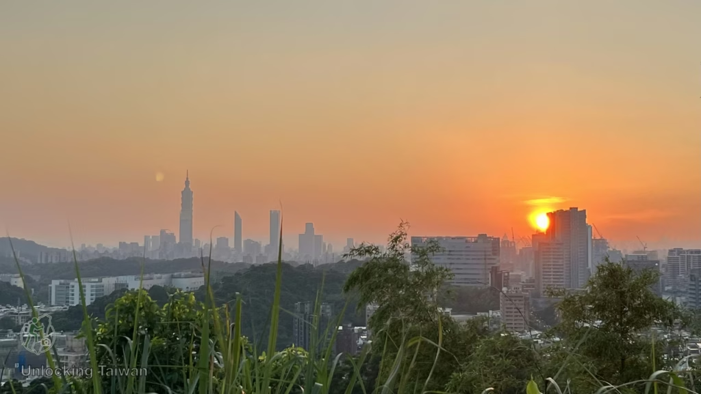
Xiaonangang Mountain Trail Highlights
Extremely Short with High Reward
This is one of the rare trails where you can reach a summit in about 15 minutes while still enjoying open views of Taipei’s skyline and surrounding mountains.
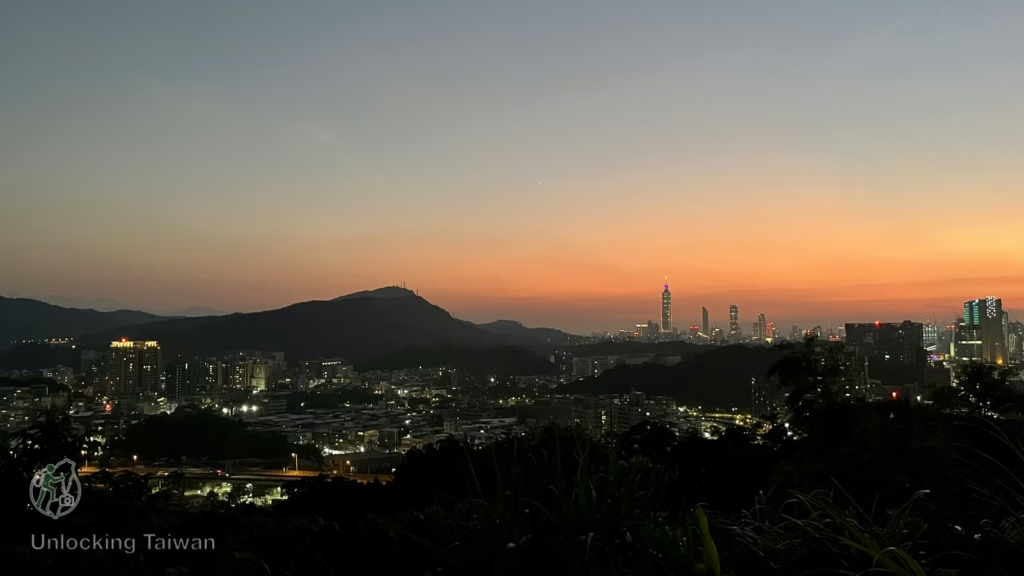
Excellent Urban Views
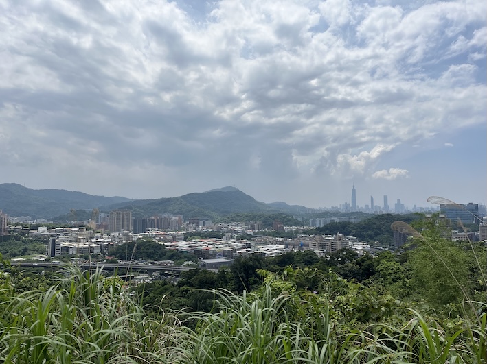
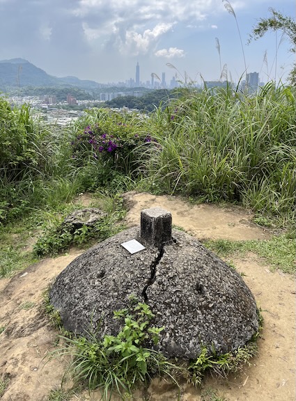
From the summit, you can clearly see:
- Taipei Basin
- Taipei 101
- Keelung River
- Surrounding peaks such as Nangang Mountain and Qixing Mountain
- The summit is also a known local spot for night views, offering a different perspective of Taipei after dark.
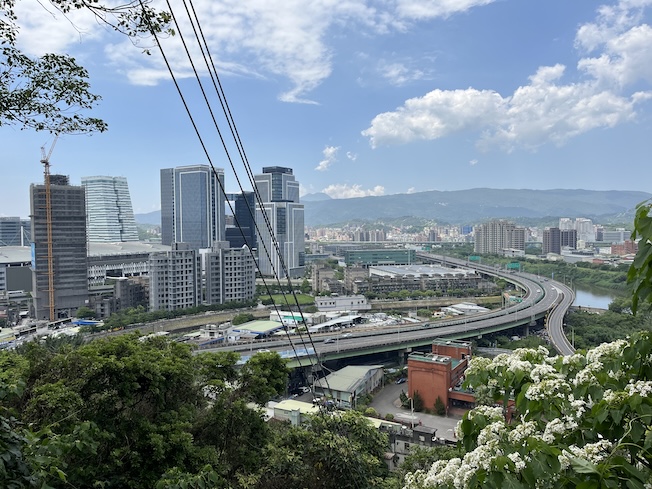
Quiet Alternative to Popular Taipei Hikes
Compared to trails like Xiangshan (Elephant Mountain), Xiaonangang Mountain is significantly less crowded, offering a quieter experience close to the city.
Seasonal Highlights
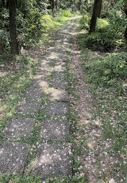
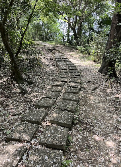
- April–May: Tung blossoms (oil tung flowers), often referred to locally as “April snow,” can be easily seen along this short and accessible trail.
- Year-round: Green forest environment with rich ecology.
How to Get to Xiaonangang Mountain Trail
The most convenient way to do this hike is by MRT.
Trailhead Location
There are two main trailheads:
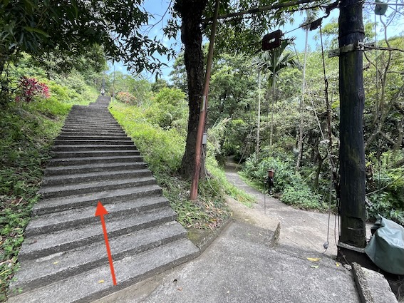
- Minquan Street Trailhead (recommended for public transport users) | Google Maps
- Hengke Road Trailhead (recommended for those driving) | Google Maps
By MRT
- Take the MRT to Nangang Exhibition Center Station (Exit 6) and walk 5-10 minutes to the Minquan Street Trailhead.
By High-Speed Rail
Coming from another city?
You can take the Taiwan High-Speed Rail (THSR) to Nangang Station, which is just one MRT stop away from Nangang Exhibition Center.
Foreign travelers can book discounted HSR tickets here:
👉 KKday
👉 Klook
💡 Disclosure: This section contains affiliate links. If you book through them, I may earn a small commission at no extra cost to you. Thanks for supporting Unlocking Taiwan!
By Car/Scooter
- Navigation: Hengke Public Parking Lot
- After parking, walk 3-5 minutes to Hengke Road Trailhead.
Hiking Information
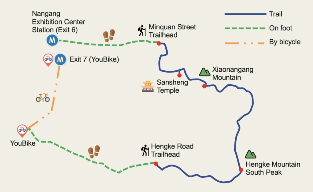
After hiking down via Hengke Road Trailhead, I walked to a nearby YouBike station, then biked to Exit 7 to return the bike and catch the MRT.
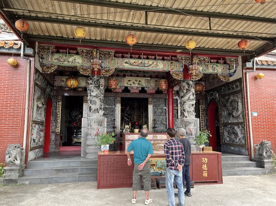
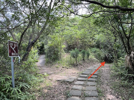
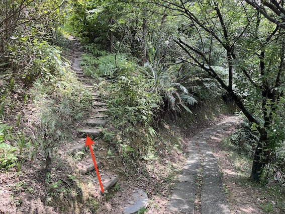
- Route: Minquan Street Trailhead → Sansheng Temple (三聖宮) → Xiaonangang Mountain → Hengke Road Trailhead
- Distance: 2.1 km / 1.3 miles (point-to-point)
- Difficulty: Easy (Suitable for beginners and families)
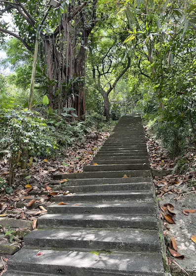
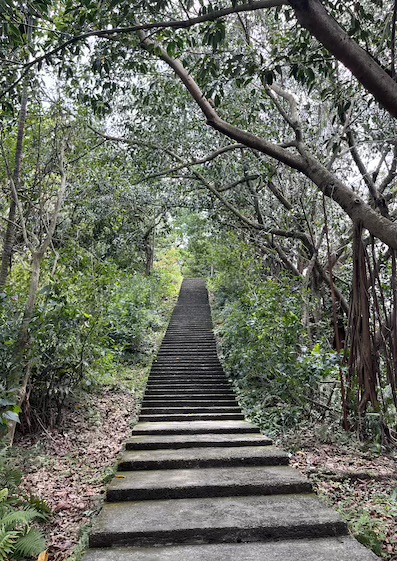
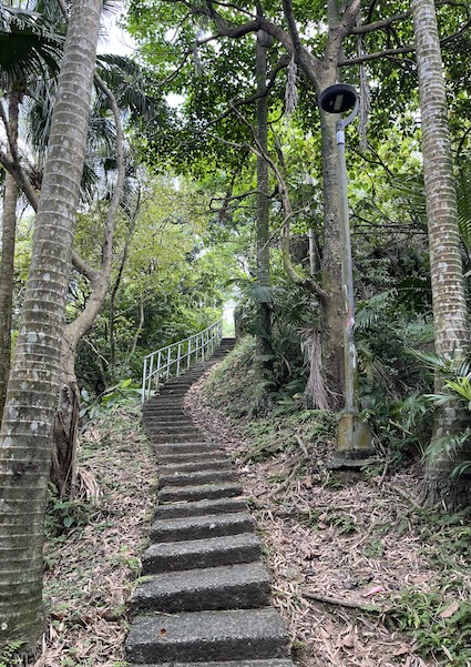
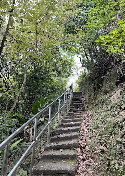
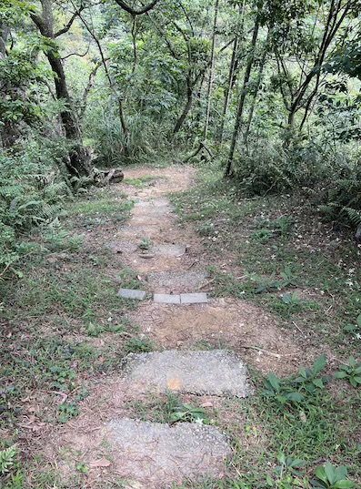
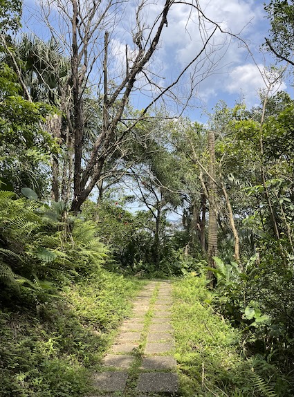
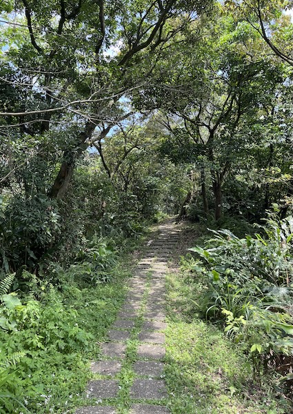
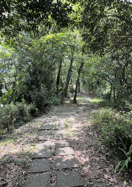
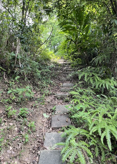
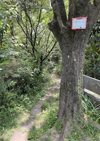
- Trail type: Stone steps, paved paths, and short natural dirt sections
- Permit: No permit required.
- Best season: Year-round.
- April-May: Ideal for tung blossoms (oil tung flowers).
- Suggested Time: 1 – 2 hours (depending on pace and breaks).
- My Time Log:
- 12:30 Minquan Street Trailhead
- 12:35 Sansheng Temple
- 12:41 Xiaonangang Mountain (10-min rest)
- 13:18 Hengke Road Trailhead
- Note: As a reference, I completed the Tokyo marathon in 6 hours. Your timing may vary based on fitness level and rest time.
GPX Track Download
- Recorded on: April 21, 2026.
- Download GPX track (English waypoints included) of Xiaonangang Mountain Trail: Google Drive | Alltrails.
Weather Forecast
Nangangshan is close to Xiaonangangshan, so checking the weather for either area is a good reference before your visit.
- Central Weather Administration website: Nangangshan
Quick Tips for Visiting Xiaonangang Mountain Trail
- Best Time to Visit:
- Late afternoon to sunset: Best lighting for city views
- Evening: Popular for night views (requires headlamp)
- Spring (Mar–May): Best for flowers
- Night Hiking Note:
- The trail has no lighting at all.
- Bring a headlamp or flashlight if visiting after dark.
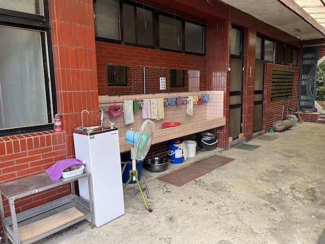
- Restrooms: Available only at Sansheng Temple. Or use facilities at MRT Nangang Exhibition Center Station before starting.
- Water & Food: Even though the hike is short:
- Taiwan’s humidity can cause dehydration
- Bring at least 0.5–1L of water
- Drinking water may be available at Sansheng Temple, but bringing sufficient water is recommended.
- Optional: light snacks if staying for sunset or night views
- Footwear: The trail can be wet and slippery after rain. It’s suggested to wear shoes with good grip.
- Bugs: Bring mosquito repellent. Mosquitoes can be quite active in the damp, shaded sections of the trail, especially during the summer.
- Respect the Area: Trail entrance is next to residential areas. Keep noise levels low and avoid disturbing locals.
Final Thoughts
Xiaonangang Mountain Trail is a high-efficiency urban hike — minimal effort, maximum accessibility, and rewarding panoramic views.
For travelers exploring Taipei, this trail is a highly practical option:
- No permits required
- Easy MRT access
- Short, well-defined route
- Suitable for beginners and casual hikers
It’s an ideal choice when you want a quick outdoor experience without leaving the city.
In Pictures / Video

Plan Smarter, Hike Better!
Planning more hikes in Taiwan? Explore more Taiwan hiking guides here:
👉 https://unlockingtaiwan.com/category/hiking/
☕ Support Unlocking Taiwan
Each guide takes hours of research, hiking, and fieldwork.
If this article helped you plan your trip, you can support the project here: